Route Editor

| Guide | ♦ | 2 Triplogs | 0 Topics |
details | drive | permit | forecast | route |
stats |
photos | triplogs | topics | location |
| 24 | 2 | 0 |
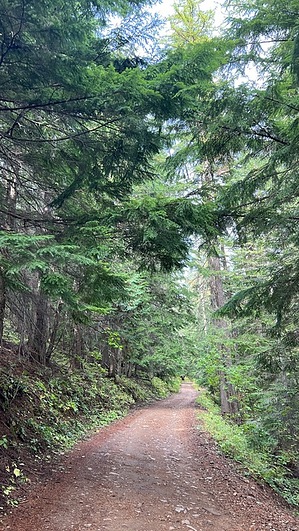
summit the namesake of the indigenous tribe by LindaAnn Hike: Beauty Carlin Trail #257 starts on the west side of Beauty Creek Rd and is marked by a brown wooden sign. The trail immediately drops down to and crosses Beauty Creek. The creek may be challenging to cross during snowmelt, but otherwise, you can rock-hop across and keep your feet dry. After crossing the creek, the trail begins ascending to the northwest, before making a sharp turn and continuing uphill to the southwest.
Once at the road, turn right and continue heading uphill. There are some occasional views along the road. A few old logging roads connect with the main road, stay left at each fork, staying on the main road. At about 4.15 miles, there will be another fork, stay left again, leaving FS-439 and continuing uphill on this new road for the final short climb to the summit. At the junction with Caribou Ridge Trail #79, stay left and curve to the south for another few hundred feet of walking. There is an old building at the end of the road, but the actual highpoint of the summit is indistinct. The area along the right side of the road seems to be the highest ground, but it's vague at best. The old building works well enough to be considered the summit. Once done, retrace your steps back downhill, which goes by quickly due to the smooth trail and mild descent. Check out the Official Route and Triplogs. Leave No Trace and +Add a Triplog after your hike to support this local community. | |||||||||||||||||||||||||||||||||||||||||||||||||||||||||||||||||||||||||||||||||||||