 Route Editor

| Guide | ♦ | 6 Triplogs | 0 Topics |
details | drive | no permit | forecast | 🔥 route |
stats |
photos | triplogs | topics | location |
| 83 | 6 | 0 |
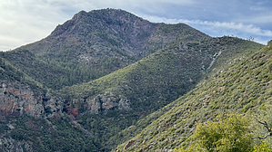
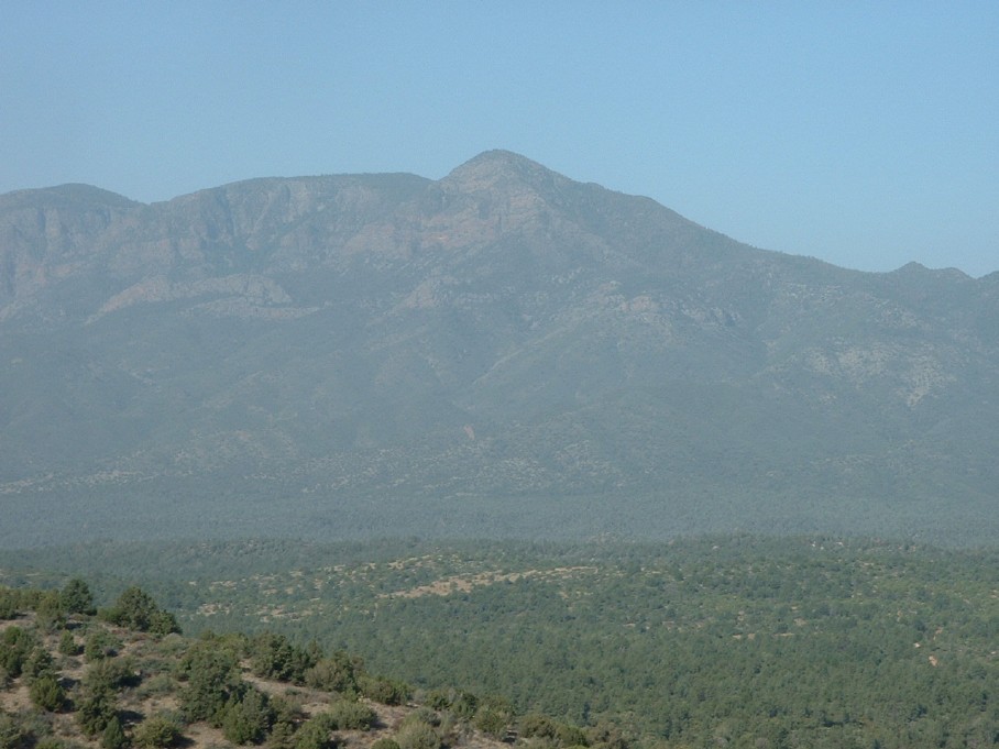
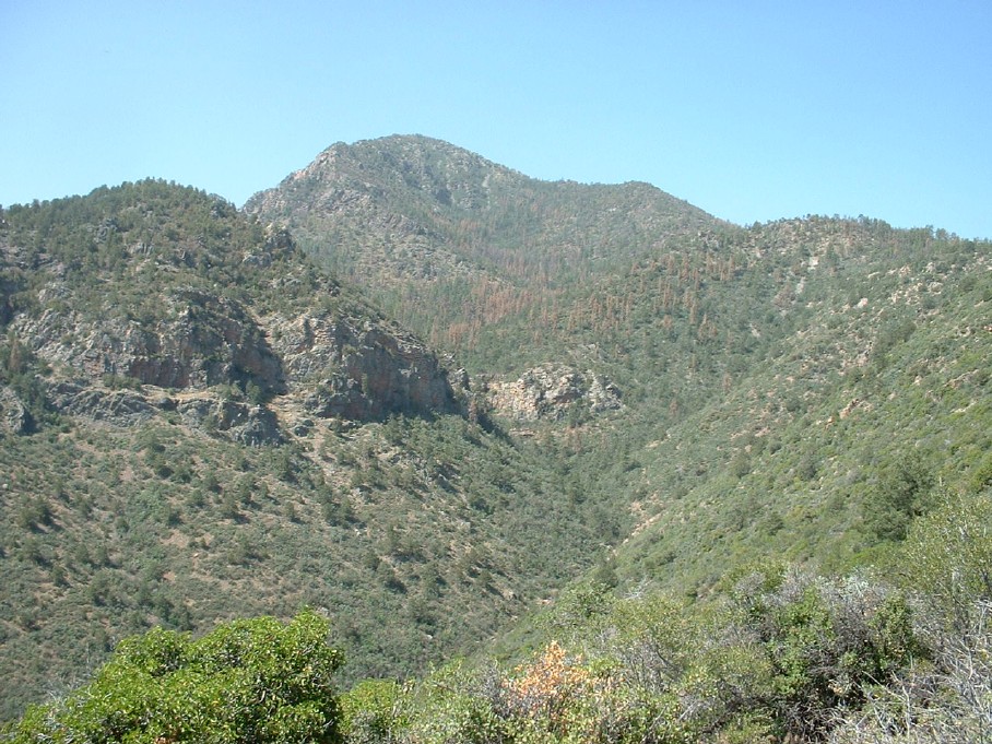
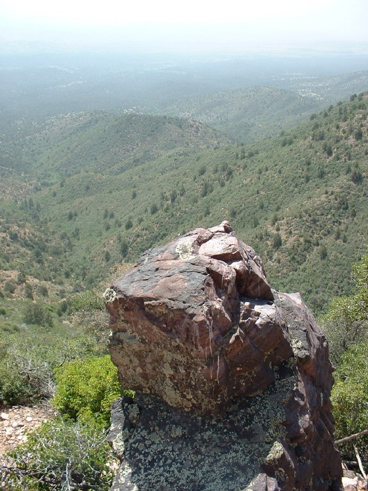
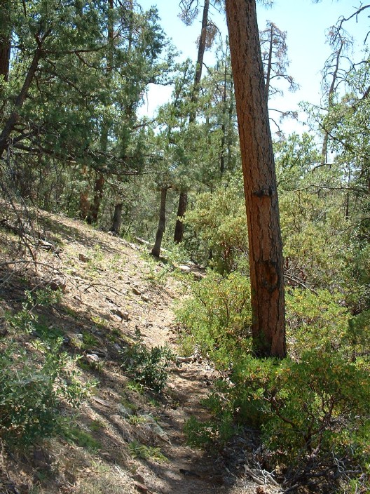
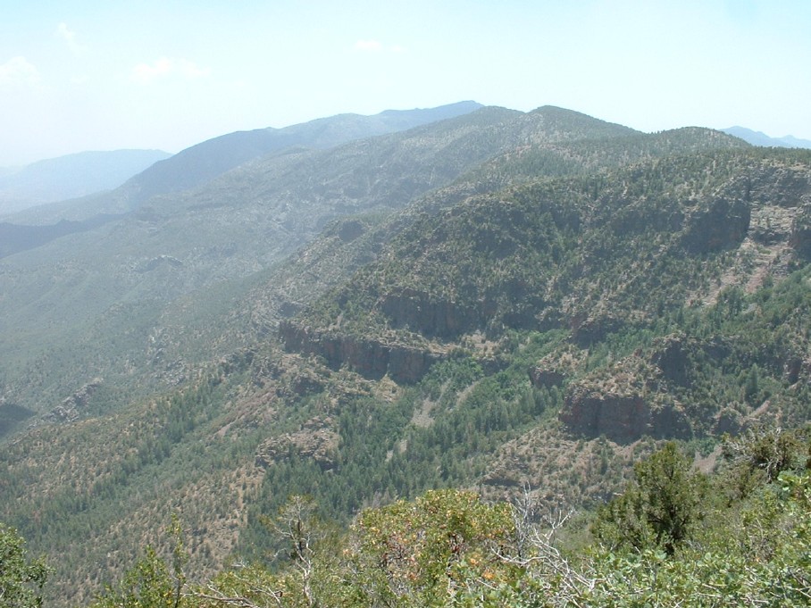
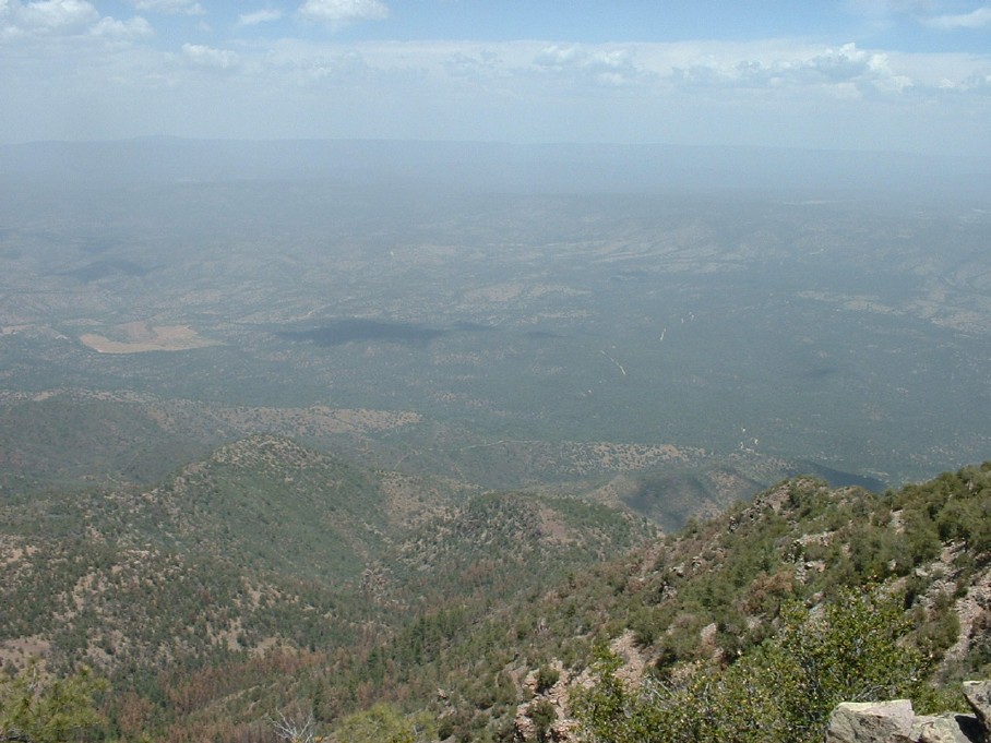
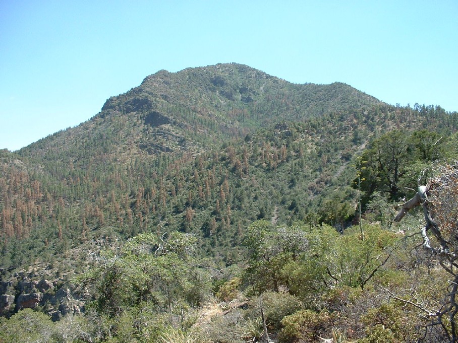
  Overview OverviewA steep, brushy, off-trail ascent to the northernmost named summit in the Mazatzal Mountains. Hike Reaching the summit of North Peak begins by following the steep climb along the maintained North Peak Trail #24 for just over 3 miles, gaining about 2200 feet. Much of this hike looks directly at North Peak, enticing you with a good view of the goal ahead.
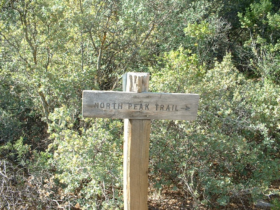
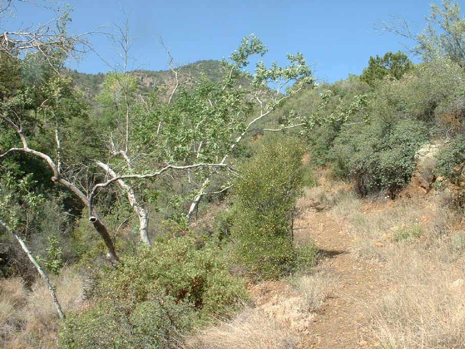
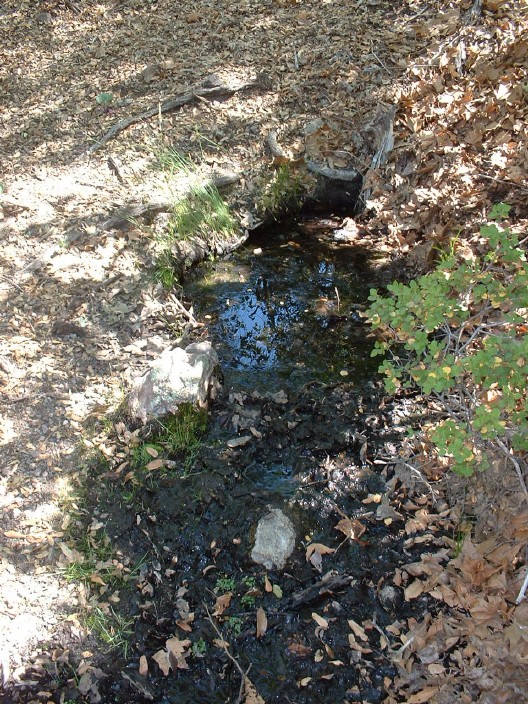
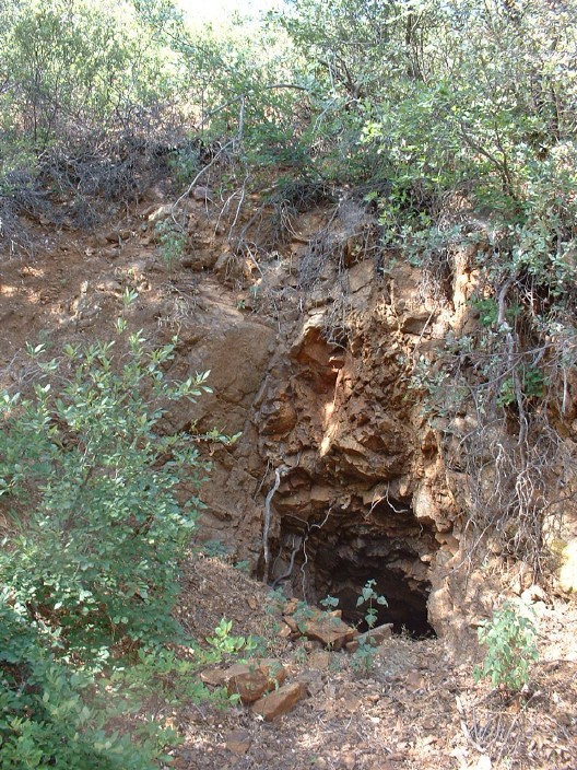
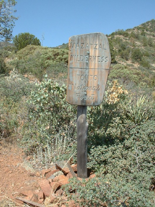
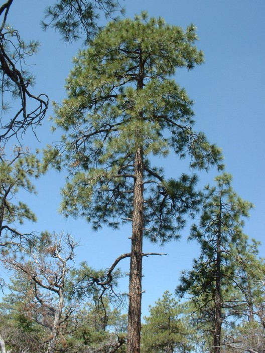
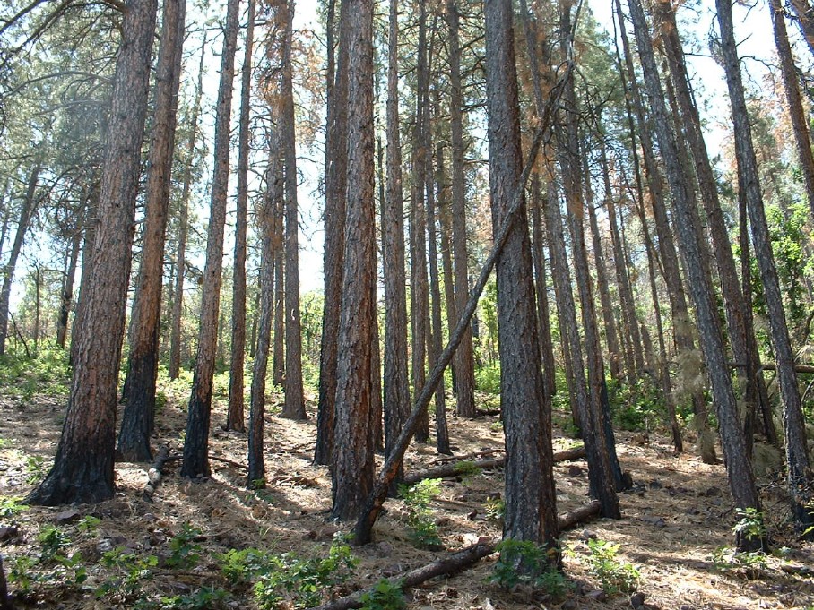
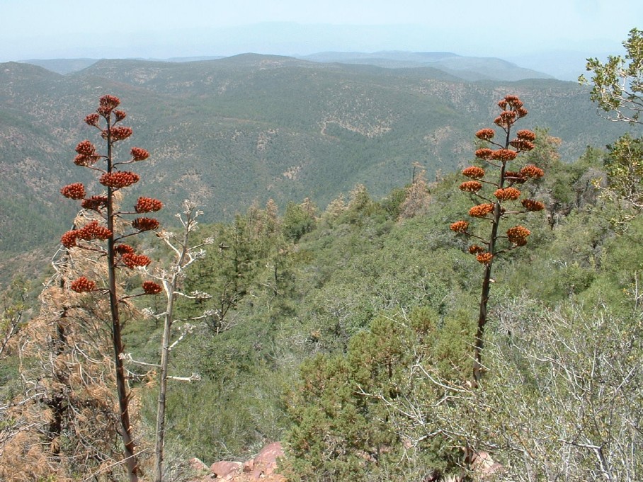
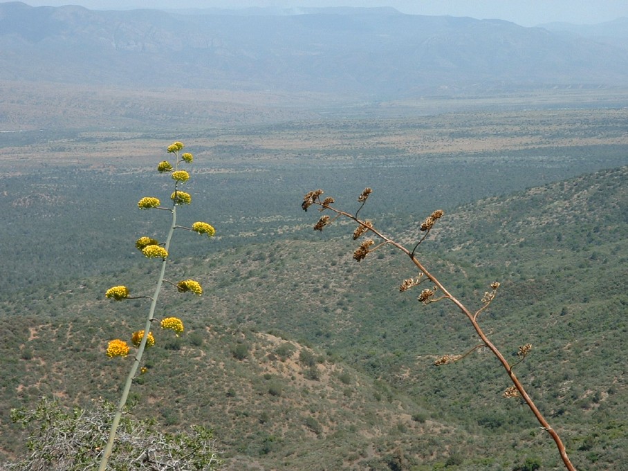
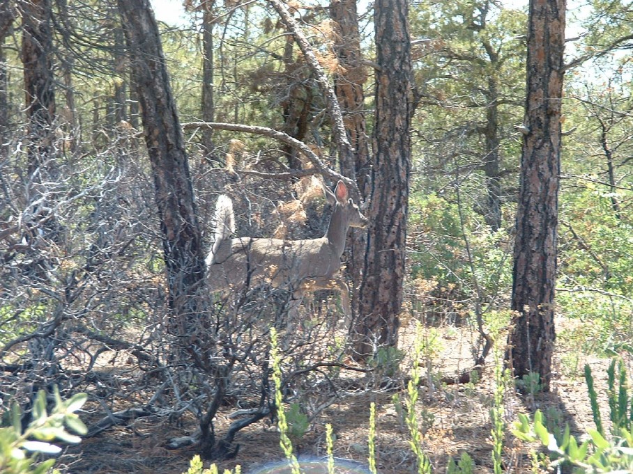
Once reaching the ridge the route turns more southerly, it's less steep, and the clearest route is more obvious than below. Shortly after the 7000-foot contour, the ridge turns southeastward again after a short steep climb up to a wooded point before heading up toward the north slope of the peak. Near the 7200-foot contour, the ridge appears to be blocked by a small cliff band, but the best route is to go straight up through it, where there are numerous easy hand and foot holds to make it through the 15-foot scramble. From here, the route stays to the north side of the summit, and the grade eases into a pleasant stroll to the high point. To the north, the Mogollon Rim dominates, with the San Francisco Peaks easily visible north of Flagstaff. Toward the west, the Verde River valley cuts across the landscape, and beyond you'll see Mingus Mountain, Pine Mountain, the Bradshaws, the New River Mountains, and more. Views to the south include most of the range, and though Ord is blocked you can just see the tips of a couple of the Four Peaks along with a nice view of Roosevelt Lake and the distant Pinals. To the east, the Sierra Ancha dominate the nearby landscape, with the high elevations of the White Mountains on the distant horizon. This peak doesn't appear to get frequent visitation. It ranks nowhere near the top of any commonly pursued criteria and therefore doesn't check any boxes. It's not the highest even of nearby summits. It has no notable prominence. I didn't find a summit register or a geocache. The benchmark is stamped by the forest service and there are no common USGS survey leftovers. What it does have going for it is a spectacular central location that provides some of the best views in the state, a solid elevation gain, a mix of reasonably maintained trail, and spicy off-trail, plus the interesting bonus of being a corner of the redheaded step-boot of Yavapai and Gila Counties :) 2003-2023 by aaronhales If you are a peak-bagger, this trail is for you! Averaging approximately 1000 feet elevation gain for every mile, this trail does not let up--but it's worth it. This trail takes you up the seldom climbed North Peak, which is the northern-most peak and 3rd highest peak of the Mazatzal range. Only Mazatzal Peak and the Four Peaks are higher. You will find the trailhead about 10 miles west of Payson along a good dirt road easily passable to a passenger car. After embarking on the trail for about 100 feet, you'll come across a sign informing you that you are indeed on the right trail. This beginning part of the trail travels through a nicely shaded riparian area thanks in part to Mineral Springs. You will also soon pass what appears to be an abandoned/collapsed mine. However, the shade soon ends, and the trail will begin to climb as you approach the Mazatzal Wilderness boundary. From here, the trail starts heading up a ridge that descends from the NE face of North Peak. As you go along this part of the trail, look to your left to get expansive views of Tonto Basin and behind you to your right to get a view of the Mogollon Rim in the distance. After about 2 miles, the trail reaches approximately 6000 feet, and the trail starts to level off here as it enters the cool and refreshing pine forest. Although several trees have succumbed to the bark beetle, there are still plenty of tall ponderosas to provide adequate shade. At about 2.5 miles, you'll want to turn left (south) and head off-trail to ascend the summit as the North Peak trail does not go to the summit (it hooks up with Mazatzal Divide Trail). As you make your way through the forest towards the summit, it immediately becomes a relatively steep climb until you reach the top. At times the forest will be quite dense and a fair amount of bushwhacking will be required (but not too bad). An hour or so is all that should be required to reach the summit and once you do you will be greeted by more lady bugs than you can possibly imagine. But don't forget the views! The views are expansive and rewarding from up here. To your south you can see Mazatzal Peak and Mt. Peeley. And of course the Rim to the NE. On a crystal clear day, the San Francisco Peaks would be very visible to the North. On the descent, head back the way you came until you run into the trail again. You can look west and get a good view of the sprawling forest that covers the upper elevations of the Mazatzal Wilderness as you descend. Don't forget to look back and see the summit of the mountain you just climbed. Also, note the century plants in their various stages. If your lucky, you might run into a deer like I did, but hopefully not a bear! I ran into the bear on the descent near the trailhead in the riparian area. He was surprised to see me, and I was surprised to see him. After he took off down the trail, he decided to turn and face me. This is where I decided to conveniently go off-trail, so he'd have a harder time getting to me wanted if he chased me. Luckily it didn't happen! Check out the Official Route and Triplogs. Note This is a moderately difficult hike. Leave No Trace and +Add a Triplog after your hike to support this local community. | |||||||||||||||||||||||||||||||||||||||||||||||||||||||||||||||||||||||||||||||||||||||||||||||||||||||||||||||||||||||||||||||||||||||||||||||||||||||||||||||||||||||||||||||||||||||||||||


