 Route Editor

| Guide | ♦ | 10 Triplogs | 1 Topic |
details | drive | no permit | forecast | route |
stats |
photos | triplogs | topic | location |
| 149 | 10 | 1 |
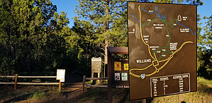
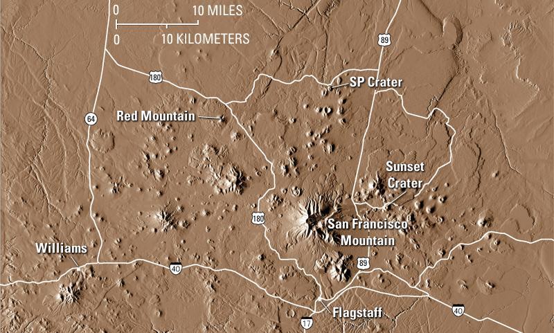
Trade fur with fellow hikers by joebartels   Note NoteThis trail is in the Bill Williams Mountain Watershed. The area is often ordered closed from June until enough moisture is present to reduce human-caused wildfires' risk. Best check the Kaibab Forest for closures in June and July. Overview Buckskinner Trail #130 is a short walk through the forest of pine and oak. Clover Spring is a small seep once developed as a domestic water supply that now provides water to wildlife.
Named for vicinity lore relating to the 1800s trapper, which the town Bill Williams thrives. Buckskinning is a role-playing reenactment of the fur trade. Hike From Buckskinner Trailhead in Buckskinner Park, you enter the forest within a few strides. The trail is an easy 200-foot ascent up a volcanic terrace in the San Francisco volcanic field. The sublime forest recipe consists of Ponderosa Pine towering through underfill Douglas-Fir and Gambel Oak. The fir thins as you top out. After a flat 0.2-miles a subtle dip through a ravine passes Clover Spring then quickly ends at Clover Springs Loop Trail #46. Options 3.5 mile / 725 AEG Lasso loop with Trail #46 9.3 mile / 2,450 AEG Out-n-back to Bill Williams Summit Water Sources Clover Springs Synopsis The initial 0.4-mile forested rise made me smile. Overall the trail is short, easy, and enjoyable. Those seeking a high volume of likes might find photo ops on the lean side.
Check out the Official Route and Triplogs. Leave No Trace and +Add a Triplog after your hike to support this local community. One-Way Notice This hike is listed as One-Way. When hiking several trails on a single "hike", log it with a generic name that describes the hike. Then link the trails traveled, check out the example. | ||||||||||||||||||||||||||||||||||||||||||||||||||||||||||||||||||||||||||||||||||||||||||||||||||||||||||||||||||||||||||||||||||||||||||||||||||||||||||||||||||||||||||||||||||||||||||||


