 Route Editor

| Guide | ♦ | 33 Triplogs | 2 Topics |
details | drive | permit | forecast | 🔥 route |
stats |
photos | triplogs | topics | location |
| 171 | 33 | 2 |
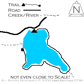
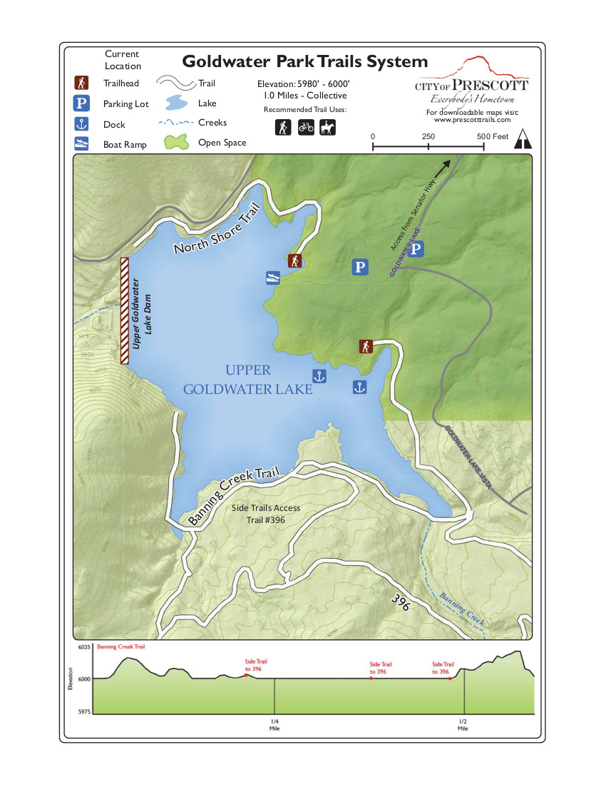
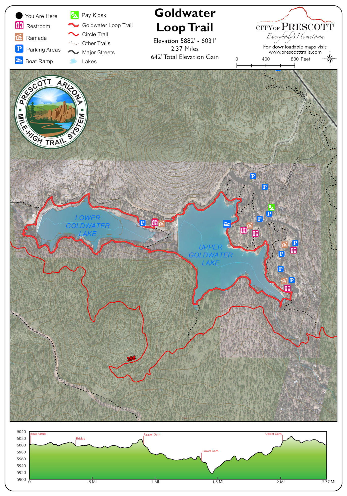
Summer memories by joebartels   History History2000 Goldwater Lakeshore Trail [ map ] THEN Banning Creek Trail [ map ] 2024 Goldwater Loop Trail [ map ] Hike Pick up the trail down by the lake and left of the picnic areas. On this beautiful June day it was 96 degrees when I passed through Prescott but you wouldn't know it here. Families picnicking and fly fisherman casting along the shore made for a peaceful setting.
Though level for the most part, there is a steep section. Be careful around the southwest bank. The west bank also has a steep pitch that wants to slide you right into the lake. Swimming is not allowed at the lake so avoid falling in. =) Not many canoes or boats filled the lake on this day. I'm sure weekends bring more activity. Fishing seemed to be the popular choice on this lake. Continue on around to the dam. Make the right decision not to cross, turn around and head back. Several families with small children were hiking the trail. On the return trip I encountered a pack of at least twenty girls, maybe girl scouts. They filled the south bank eating lunch while watching two guys fly fishing across the narrow fork. About a hundred yards away, I heard them saying goodbye to the guys. One yelled out, "Have a nice summer!". Too bad the trail was almost over. It sure would be nice to spend summer on this cool refreshing lake.
Check out the Official Route and Triplogs. Leave No Trace and +Add a Triplog after your hike to support this local community. | ||||||||||||||||||||||||||||||||||||||||||||||||||||||||||||||||||||||||||||||||||||||||||||||||||||||||||||||||||||||||||||||||||||||||||||||||||||||||||||||||||||||||||||||||||||||||||||||||


