King Canyon Trail is the most direct route to reach Wasson's Peak - the highest summit (4687 ft) of the Tucson Mountains. This is located in the Saguaro National Park - West Unit.
The trailhead is located to the right, just north of the Arizona-Sonora Desert Museum. You begin the hike up King's Canyon - you have 2 options: Take the old mining road that follows King's Canyon or hike up King's Canyon along the wash. If you follow the bottom along King's Canyon, you encounter two locations with petroglyphs; 1st is on a rock right in the middle of the canyon bed covered with desert varnish. You will see a few petroglyphs. Further along, you will encounter a dense collection of petroglyphs along bothwalls.
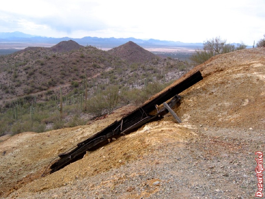
At 0.9 miles, you will reach the Mam-a-Gah picnic area. You will see an abandoned restroom at this point, hiking up the wash. Keep to the right and follow King's Canyon another 1.4 miles of fairly steep trail, which intersects with Sweetwater Trail at the ridge. Vegetation is typically Sonoran - paloverde trees, barrel cactus, cholla & mature saguaros. Go left at this junction (well signed), climbing up through some steep switchbacks for another 0.9 miles, gaining almost 600ft. Along this section of the hike, you will encounter 2 mine shafts (sealed off). A short 0.3-mile spur trail takes you to the summit - Wasson Peak. #60 views abound - Tucson to the east with the Catalina & Rincon mountains, Kitt Peak, Mt. Wrightson to the west.
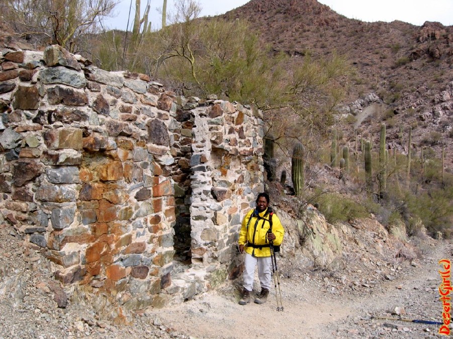
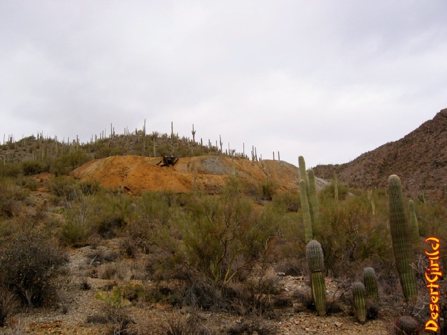
The return has a few options: 1) Return the way you came 2) Take the Hugh Norris Trail (Go right where the spur joins the main Trail). You will go over the saddle and descend westward 1.9 miles, where you will take the Esperanza Trail & head towards the Mam-A-Gah Picnic Area (1.4 miles). Springtime following a wet winter will make this hike a lovely hike through wildflowers. Along this trail you will encounter the GouldMine (at 1 mile). You can take the Gould Mine Trail to the King Canyon Trailhead (~ 7.8 miles roundtrip) or go another 0.4 miles & return via King's Canyon. Hike along Gould Mine Trail takes you past a huge tailings pile from the Gould Mine.
Summer will bring extremely high temperatures & this hike is best avoided. There is no water at the trailhead or along the trail. Carry all your water.
WARNING! Hiking and outdoor related sports can be dangerous. Be responsible and prepare for the trip. Study the area you are entering and plan accordingly. Dress for the current and unexpected weather changes. Take plenty of water. Never go alone. Make an itinerary with your plan(s), route(s), destination(s) and expected return time. Give your itinerary to trusted family and/or friends.
Permit $$
None
Saguaro National Park 2022 $25 vehicle • $20 motorcycle • $15 individual on foot or bicycle
Receipt is valid for 7 days
$45 Annual Park Pass View All
No fee required from Miller Creek Trailhead off Mescal Rd.
Directions
Road
To King Canyon Trailhead From Speedway and Campbell in Tucson, take Speedway west to Gates Pass and continue to Kinney road. Follow Kinney road until the AZ-Sonora Desert Museum entrance is reached. The trailhead is located about 0.3-mi northwest of the museum. Parking is off on the right.
From PHX (I-10 & AZ-51) - 1 hr 47 min (109 miles) From TUC (Jct 1-10 & Grant) - 21 min (12.8 miles) From FLG (Jct I-17 & I-40) - 3 hr 59 min (253 miles)
 Route Editor

 King Canyon Trail is the most direct route to reach Wasson's Peak - the highest summit (4687 ft) of the Tucson Mountains. This is located in the Saguaro National Park - West Unit.
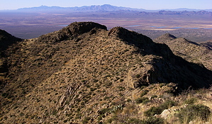


