Route Editor

| Guide | ♦ | 5 Triplogs | 0 Topics |
details | drive | no permit | forecast | route |
stats |
photos | triplogs | topics | location |
| 45 | 5 | 0 |
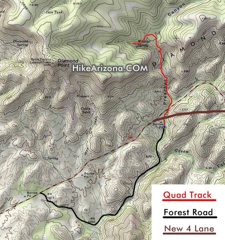
Spelunkers in the mist by joebartels   History HistoryPreacher Canyon was named after a preacher that homesteaded in the area. His name is not known. History reports he shot his gun off during the Pleasant Valley War of the late 1880s to detour intruders entering the canyon. The Pleasant Valley War was a feud between the Grahams and the Tewksburys'. Basically, an argument over sheep and cattle, go figure! Overview This hike probably won't appeal to most as it follows a quad track. Nevertheless, it's a good starting point if you're looking to explore the area. Check out the map below. Data given is for the red line, which runs from the borrow pit to Wildcat Spring. A borrow pit is simply a pit or excavation area used for gathering earth materials such as sand or gravel.
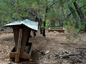
Hike The forest road (black line) more or less ends at a barbed-wire fence. Which as of this writing was cut, but you can't drive much further. You immediately go under the new alignment of US 260. It's best to pick up the canyon on your left. (just veer left and follow the creek bed) If you continue to follow the road, you will likely follow the old US 260 alignment. The road of which was remarkably removed and restored to a natural environment. I hiked the road and didn't know until I got home and downloaded my GPS route that I was on the old alignment! If you do hike the road, you will need to make a seemingly unwise left, which forces you to backtrack. Soon you face a couple of steep ascents. I suppose this is a jeep route, but I'm calling it a quad track. I can't imagine a jeep coming down these slopes, but I'm probably just naive. You could follow the creek bed for an entirely different experience. Though it's tough to force yourself through the hurdles knowing the road is present. After two and a half steep sections, the quad track levels out and twist through the forest. It's hard to believe you came through all that trash and under a highway, but you're finally in something resembling what most think of as a forest! This experience lasts for about five minutes before you reach Wildcat Spring. The hike presented is pretty short. Grab a topographical map and make your own loops. If you're one of those spelunker dudes, bring a flashlight.
Check out the Official Route and Triplogs. Leave No Trace and +Add a Triplog after your hike to support this local community. | |||||||||||||||||||||||||||||||||||||||||||||||||||||||||||||||||||||||||||||||||||||||||