 Route Editor

| Guide | ♦ | 26 Triplogs | 1 Topic |
details | drive | permit | forecast | 🔥 route |
stats |
photos | triplogs | topic | location |
| 291 | 26 | 1 |
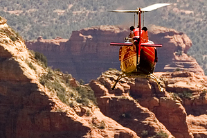
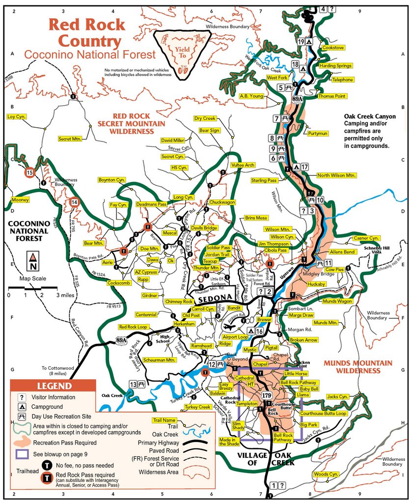
Solitude in Coconino Valley by joebartels   This hike explores the real Boynton Canyon. The popular maintained trail takes you to a tributary box below Bear Mountain. This hike explores the real Boynton Canyon. The popular maintained trail takes you to a tributary box below Bear Mountain.The hike starts from the Boynton Trailhead and follows Boynton Trail for 2.15 miles. Here you will see the trail departing left from a well defined (light-colored gravel), usually dry creek bed. Jump off the trail and follow the creek up.
There's plenty of bear scat throughout the canyon. However, I didn't find it as evident as going off-trail in the Dry Creek labyrinth of canyons. At one point, a few rocks fell from a wall where an animal was scurrying above. Later I was practically run down by a few bucks bolting through the canyon. I heard them from a distance and went to grab my camera. Next thing I know, they took an unexpected turn towards me. I went from oh cool grab my camera mode to quickly find a blocking tree mode. The canyon walls and trees provide suitable shade in the beginning. Approximately two-thirds in from the turnoff, the shade gives way to an impressive open view of a high canyon wall on your left. Tree cover soon returns, and the final leg is on a well-defined trail to creek left. The incline steepens a tad, but nothing of concern. The payoff for this hike is impressive views back down the canyon. The vantage points aren't plentiful, but you will know the sweet spot when you come to it. The bonus for this hike is to continue into what I've dubbed Coconino Valley. The walls are 800 feet high on both sides. The sheer wall on your left is Lost Mountain, to your right is Secret Mountain. Oh, by the way, you are standing in heaven. Camping According to the 2018 FS map camping is allowed after 2.5 miles in which should be outside the green line. For clarification, at least a quarter-mile after leaving the trail.
Check out the Official Route and Triplogs. Leave No Trace and +Add a Triplog after your hike to support this local community. | ||||||||||||||||||||||||||||||||||||||||||||||||||||||||||||||||||||||||||||||||||||||||||||||||||||||||||||||||||||||||||||||||||||||||||||||||||||||||||||||||||||||||||||||||||||||||||||||||||||||||||||||||||||


