| Cherry Creek |
| Cherry Creek, Arizona - Gila County | Creek |
|
|||||||||||||||||||||||||||||||
Add Report Geolocation For the sake of uniformity. Creeks, rivers and canyons are mapped where they terminate. Except for specific crossing in name ie: Whatever River @ Whatever Trail Crossing How to Add a New Source |
|||||||||||||||||||||||||||||||
| .: John10s :. | |
 |
|
Cooper Forks Canyon Cliff Dwellings | |
| .: John10s :. | |
 |
|
Cooper Forks Canyon Cliff Dwellings | |
| .: John10s :. | |
 |
|
Cooper Forks Canyon Cliff Dwellings | |
| .: Oregon_Hiker :. | |
 |
|
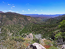
Cherry Creek Canyon Wander | |
| .: 00blackout :. | |
 |
|
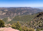
Reynolds Creek Trail #150 | |
| .: eru :. | |
 |
|
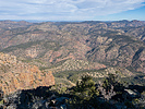
Aztec Edward's Devilish Eye | |
| .: RedRoxx44 :. | |
 |
|
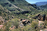
The Collab | |
| .: RedRoxx44 :. | |
 |
|
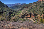
The Collab | |
| .: Pickles :. | |
 |
|
Cooper Forks Canyon Cliff Dwellings | |
| .: Grasshopper :. | |
 |
|
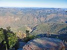
Deep Creek Canyon Overlooks - Sierra Ancha | |
| .: Grasshopper :. | |
 |
|
Camp Grasshopper - Sierra Ancha FR235-C/Site#2 | |
| .: rayhuston :. | |
 |
|
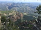
McFadden Horse Trail | |
| .: The_Eagle :. | |
 |
|
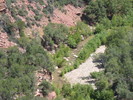
Lucky Strike#144 w/Side Trips | |
| .: CannondaleKid :. | |
 |
|
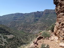
Cooper Forks Canyon Cliff Dwellings | |
| .: Grasshopper :. | |
 |
|
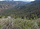
Exploring Above Black Brush Uranium Mines | |
| .: Grasshopper :. | |
 |
|
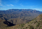
Jump Mountain 4878 - SRC Wilderness | |
|
|
|
|

| Information on this page has been gathered from member submissions. Effort has been made to avoid any infringement of copyright. Additionally, any use is anticipated to be within the "fair use" doctrine. If any copyright has been infringed, please notify the webmaster. The disputed information will be removed and your issue will be resolved. If you are a submitting member, please inform and discuss with HAZ if you think you are submitting any copyright issue. Please help us stay with the law. |