

|
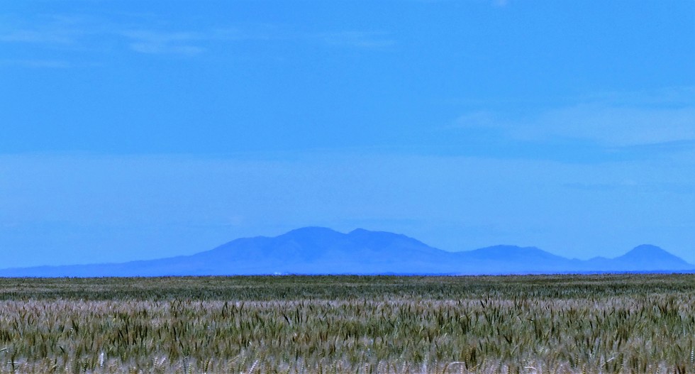
July 13 Crop looks good this year, nice big heads on the stalks. As you can see it is ripening nicely. Connie says they should be ready to cut in a week. That's the Sweet Grass Hills in the background, about 50 miles away. They are Montana's version of sky islands. The Sweet Grass Hills (Blackfoot: kátoyissiksi, Cheyenne: vé'ho'ôhtsévóse, Salish: ččaɫalqn , "three peaks") are a small group of low mountains rising more than 3,000 feet above the surrounding plains southwest of Whitlash, Montana in Liberty and Toole County. The tallest point in the hills is West Butte at 6,983 feet.
The upper slopes of the hills have not been glaciated and would have stood above the ice sheet that covered the area during the last ice age. In 1993, the Hills were listed as one of America's Most Endangered Places. Arizona has several Endangered Places on the list https://en.wikipedia.org/wiki/America%2 ... red_Places
The upper slopes of the hills have not been glaciated and would have stood above the ice sheet that covered the area during the last ice age. In 1993, the Hills were listed as one of America's Most Endangered Places. Arizona has several Endangered Places on the list https://en.wikipedia.org/wiki/America%2 ... red_Places