 Route Editor

| Guide | ♦ | 55 Triplogs | 5 Topics |
details | drive | no permit | forecast | 🔥 route |
stats |
photos | triplogs | topics | location |
| 0 | 55 | 5 |
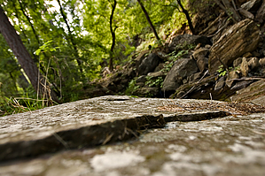
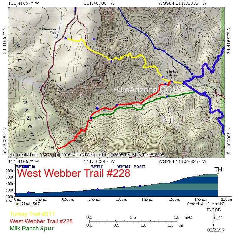
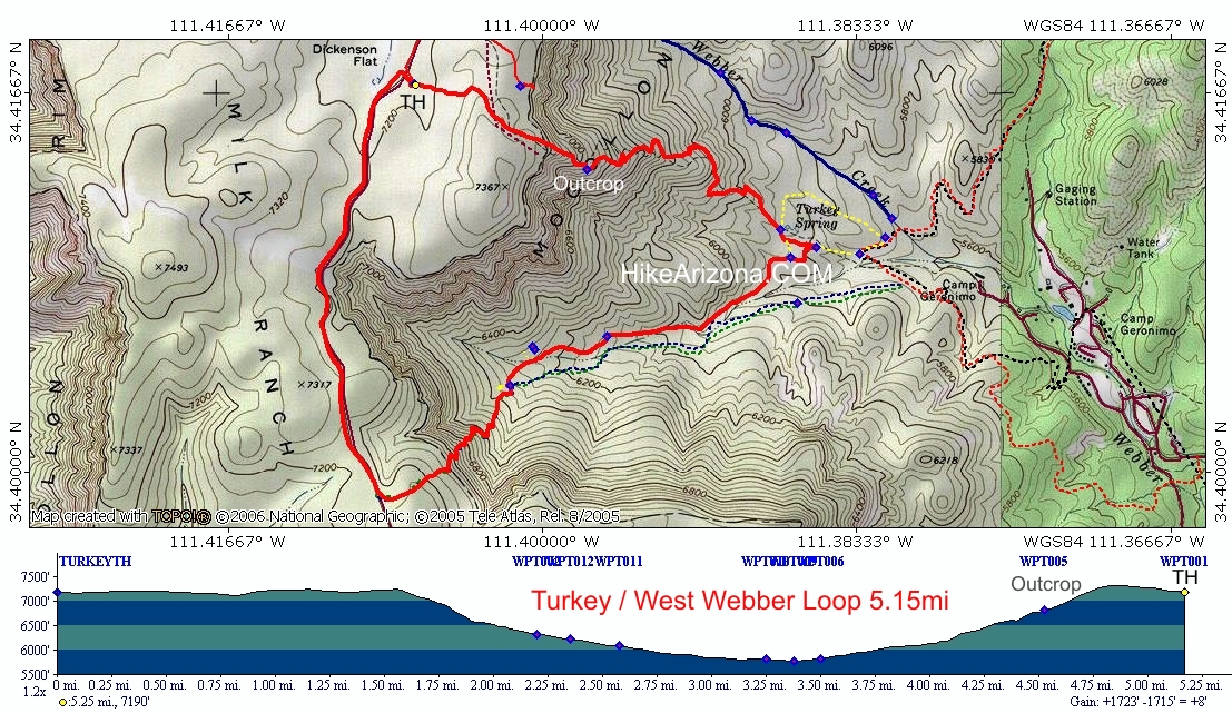
Vigorous reflections of the soul by joebartels  Overview Overview1.9mi hike from Milk Ranch Point peninsula/mesa down 1460ft to Turkey Spring. Extremely good as-is or loop it up with plenty of other options! Low Down Here's a good ol' Payson hike sure to be enjoyed late summer through Autumn. Well, that is if you've outgrown all the canyon-waterside teeny-bobber trashed-out party-zones. Sweet highlights include real Mogollon Rim hiking, rare shade in Arizona to a trickling creek. Whoa, sign me up!
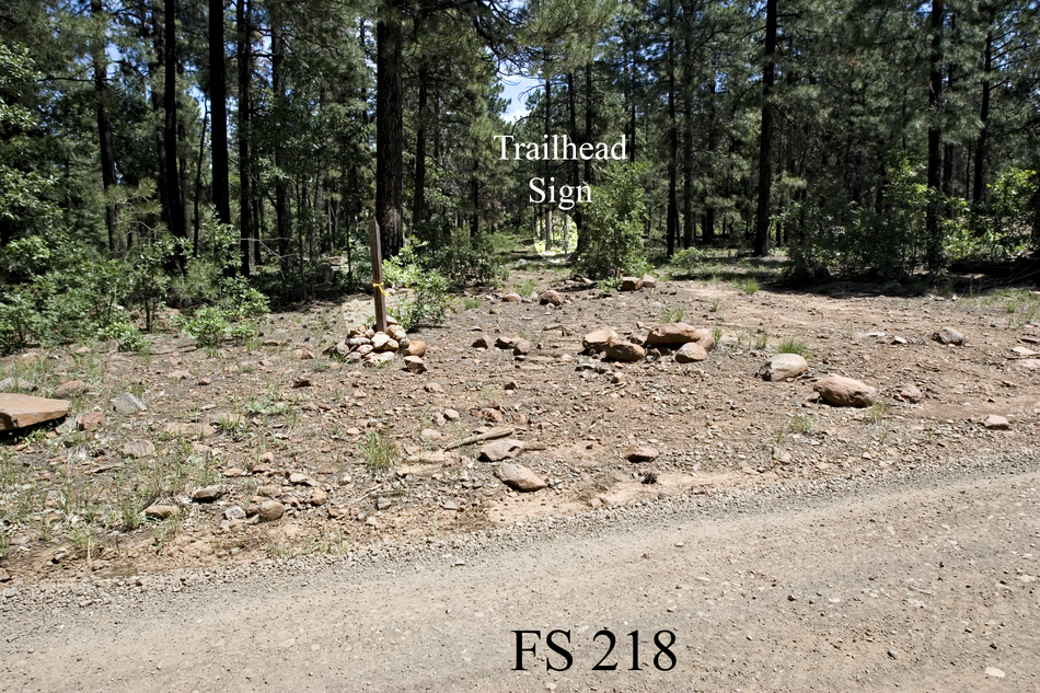
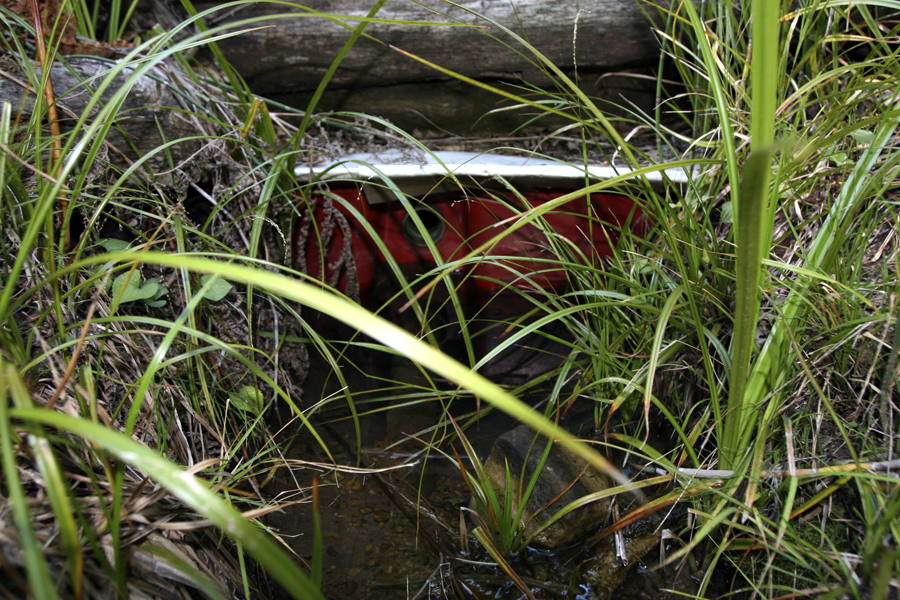
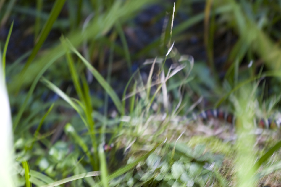
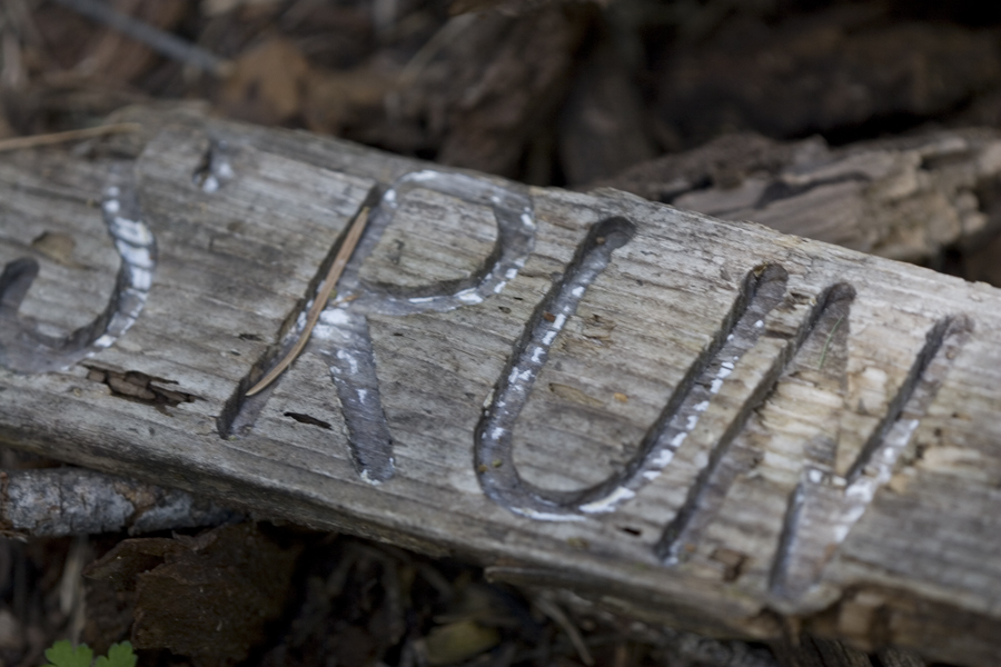
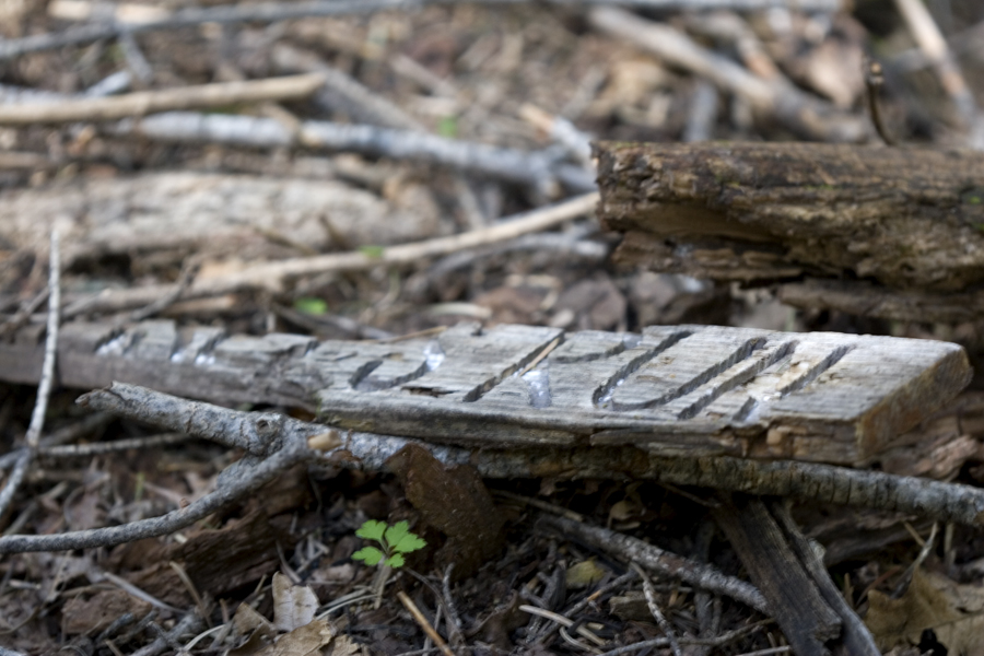
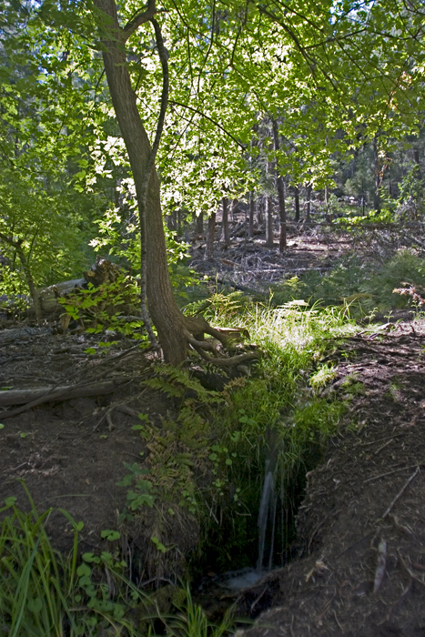
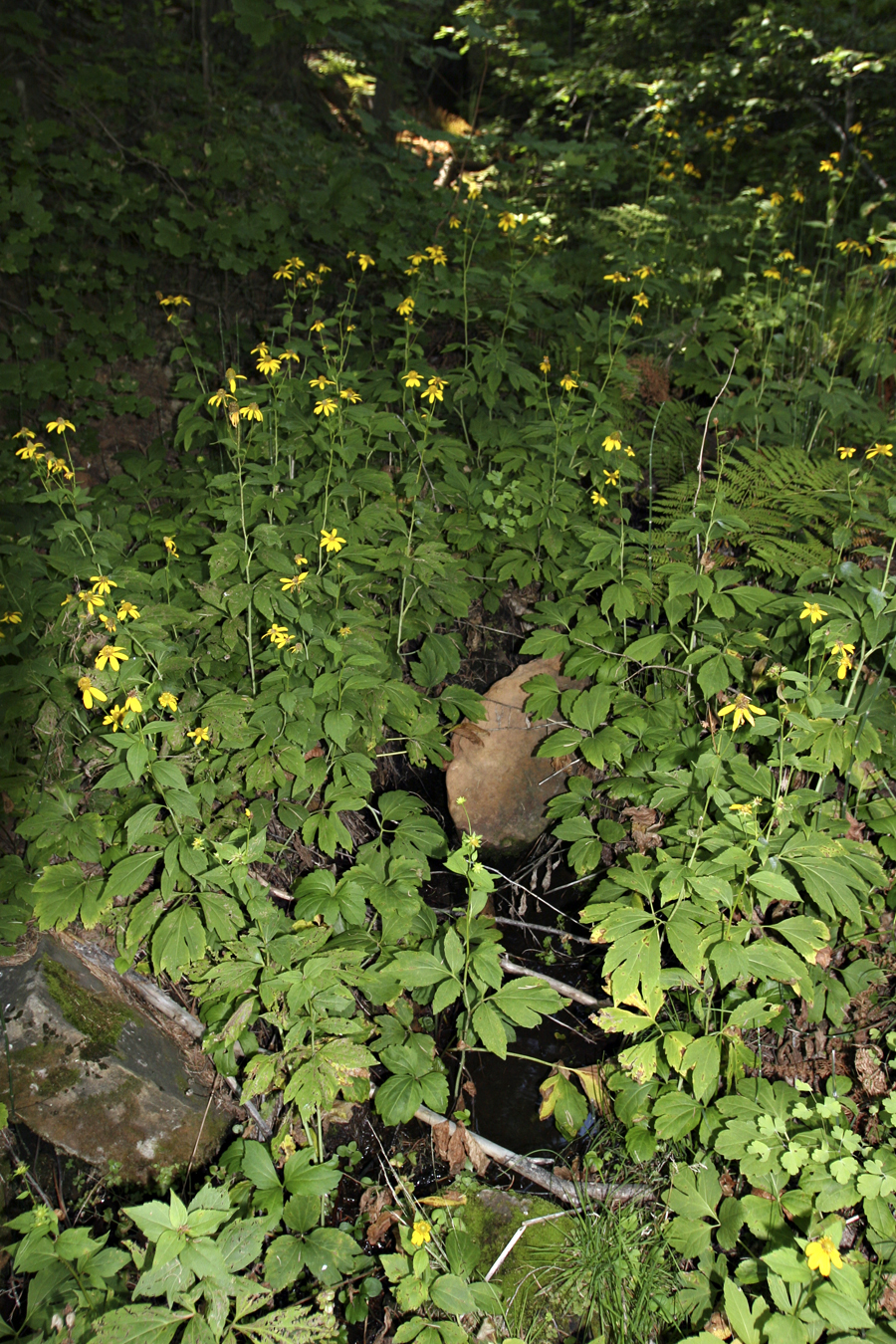
The trailhead is somewhat obscured but isn't too difficult to locate. You immediately head into the forest to conquer the slightest hill rise before reaching the rim at 0.28mi. West Webber Trail #228 is a very light-use trail that might be difficult to follow at night. Then again, with all the shade, you really wouldn't want to hike here at night. Heading down is steep, but the trail is well cut with plenty of switchbacks. One or two knee-to-chest steps are encountered ascending. The views are obscured for the most part by healthy pines. The shade allows maples and other vegetation to grow underneath you won't find on nearby Turkey Trail #217, a better option for those in search of distant views. After the switchbacks ease up, you come to a post at 0.78mi. As of this writing, there was no sign, just a post. The nice-looking right isn't the option you want. Instead take a left for the continuation of West Webber #228 directly to Turkey Spring in 1.1mi. The trail (as of this writing) immediately becomes more difficult to follow with forest debris. Soon you cross a creek which is fed by a tendered spring on the side of the mountain. I followed the water to its source up the hill. Along the way I encountered an Arizona Mountain Kingsnake. It's the second I've encountered within a quarter-mile, so they must enjoy the habitat. No worries as they're nonvenomous and bolt upon sight. I crossed paths with an old piece of signage. It may have named the nearby spring but was too incomplete for me to decipher. The off-trail section up to the spring is covered in foot-deep decomposed trees and pine needles. The immediate area appears to have suffered a disease of some sort. Luckily it's not widespread and appears to have ended five to ten years ago. Several dead skeletons still proved shade. Only one tree stands green in the entire area. It looks like a boxelder from my photos, I forgot to get a closer look and check it out. Continuing... The trail edges the creek several times and isn't far away when not on edge. A quarter-mile down from the spring area, you pass over a small tributary. This is a mini oasis loaded with cutleaf coneflowers. Every time I see these flowers, the stalks are covered in micro red bugs. They will dye your clothes/skin red if you brush up against the plant. There's a thick steel cable anchored over the ravine, with some old tubing a mess below. Apparently, tapping the spring years ago. Soon you will find some very large Gambel Oaks and Bigtooth Maples. If you venture into the creek, you might see some thick vascular horsetail. The trail officially ends at the Turkey Spring trough. This is a dynamite out-n-back hike in the autumn, or you have several looping options too. (4.25 mile / 1630ft AEG) Milk Ranch spur lasso-loop: GPS Route (5.17 mile / 1810ft AEG) Turkey Trail #217 loop: GPS Route / Map Longer loop with Donahue & Highline: ???
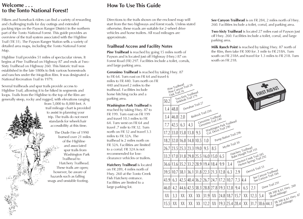
Check out the Official Route and Triplogs. Leave No Trace and +Add a Triplog after your hike to support this local community. One-Way Notice This hike is listed as One-Way. When hiking several trails on a single "hike", log it with a generic name that describes the hike. Then link the trails traveled, check out the example. | ||||||||||||||||||||||||||||||||||||||||||||||||||||||||||||||||||||||||||||||||||||||||||||||||||||||||||||||||||||||||||||||||||||||||||||||||||||||||||||||||||||||||||||||||||||||||||||||||||||||||||||||||


