| Guide | ♦ | 42 Triplogs | 1 Topic |
details | drive | permit | forecast | 🔥 route |
stats |
photos | triplogs | topic | location |
| 188 | 42 | 1 |
 2012 Note 2012 NoteThe following description is retained for historical purposes. As of 2012, topographical maps now show the old "East Fork Trail" labeled as #2. Therefore page stats and the "Official Route" have been updated. Background The Red Ridge Trail (FS #2) leaves a junction near Catalina Camp and climbs 3.2 miles and just over 2400' to a trailhead on the road into Ski Valley atop Mt. Lemmon. To this point, some would argue that the true course of the Red Ridge trail includes a section of trail that leaves the junction at Catalina Camp and connects to the Canada Del Oro trail; however, this piece of trail is more appropriately called the "East Fork" trail, despite not being signed. The Southern Arizona Hiking Club currently calls this section of trail a piece of the Arizona Trail and nothing more. The earliest reference to the naming of either of these trails comes from the first edition of the "Trail Guide to the Santa Catalina Mountains", which calls the course of the trail leaving Catalina Camp and arriving in Loma Linda the Red Ridge Trail and the section that joins Canada del Oro the East Fork Trail; this interpretation is widely respected and will be here. Both sections of the trail are visible on the 1958 Mount Lemmon quadrangle following their current courses, though neither appears named.
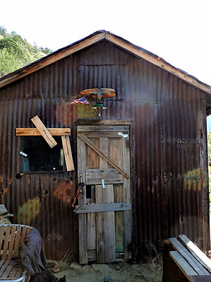
Author's Note: Leaving from the trailhead at Loma Linda, the trail will take a course opposite that of this description; this description assumes one is leaving the junction at Catalina Camp. Hike From the trail junction at Catalina Camp, the trail winds down to an unnamed stream that flows in the canyon between Oracle and Red Ridge. This stream is intermittent, at best, and should not be relied upon as a source of water. The trail begins to climb away from the stream in a due westerly direction. Cairns should mark the departure point from the stream. The rationale for the ridge's name the trail is now following becomes immediately apparent as the track crosses over rubble and scree that is colored with varying red hues. The trail continues to climb steadily, basically following the path of the ridgeline itself. After climbing a steep grade for one and two-thirds miles, the trail has gained a thousand feet in elevation and comes to the first of three clearings. These clearings are the only places along the trail course that can be called level. This clearing includes a great view back into Canada del Oro canyon, and the tin shed near Hartman mine is visible on the ride in the distance. On the west side of the trail, a great view of Reef of Rock is available. A small fire ring designates this clearing as a popular camping spot. After leaving the clearing, the trail begins to climb, once again generally following the course of the ridgeline. The track is now covered by litter from the juniper and pinyon that populate the area, and the grade becomes slightly less steep. After two and one-third miles, the trail approaches another small clearing. Excellent views of Reef of Rock are available for the price of a short walk off-trail to the west. After leaving the clearing, the track leaves the ridge and begins to wind through owl clover and catclaw. The evidence of the Aspen fire is now a permanent part of the landscape, and the track becomes harder to follow as the scrub that predominates this area has begun to overgrow its course. Look for engineering tape hung on pine limbs and wrapped around downed trees to rejoin the course if you lose it. After two-thirds of a mile, the low scrub begins to give way to a wider track and a sprinkling of wildflowers along with the signature red scree and rubble. The track approaches a large downed tree blocking the course, though hikers have already beaten an alternative course around the tree. After passing this obstacle, the track arrives in the final clearing, which skirts the mouth of Canada del Oro canyon. This section of the canyon contains a section of pristine ponderosa forest that was spared from fires and provides an awe-inspiring vista to stop and enjoy. The fire station at Control road is visible above the canyon to the East. After leaving this final clearing, the track takes on a steeper grade and begins to climb through the open forest along the upper stretch of Red Ridge. It appears that the trail will continue to the apex of the ridge, but it turns sharply east and begins to wind its way around the final portion of the ridge. Here the track encounters a young aspen forest flanking the trail and then winds back westward as a view of the road leading to Ski Valley comes into view below. The final section of the trail descends into the trailhead at the road to Ski Valley; this area of the mountain is also known as Loma Linda. Check out the Official Route and Triplogs. Note This is a moderately difficult hike. Leave No Trace and +Add a Triplog after your hike to support this local community. One-Way Notice This hike is listed as One-Way. When hiking several trails on a single "hike", log it with a generic name that describes the hike. Then link the trails traveled, check out the example. | |||||||||||||||||||||||||||||||||||||||||||||||||||||||||||||||||||||||||||||||||||||||||||||||||||||||||||||||||||||||||||||||||||||||||||||||||||||||||
 Route Editor


