Overview
Towhee Trail is a short spur of the Metate Trail that hugs Cave Creek.
Hike
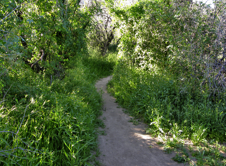
This short spur is well signed on both sides mid-way into the Metate Trail. Surely it was designed to hug Cave Creek increasing the walk-along-views.
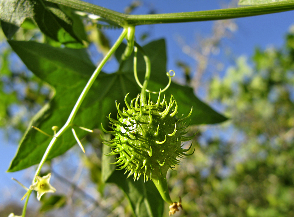
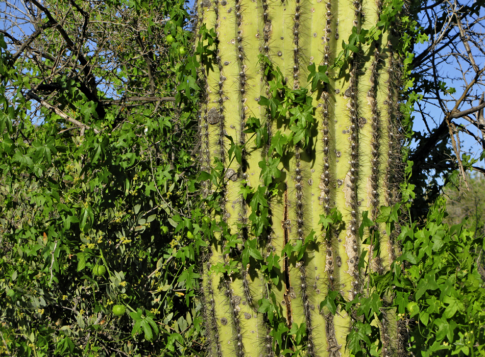
From either end it practically turns into a tunnel of flora. Wild cucumber takes over in the early spring covering everything in it's path. I'm not kidding either. It covers full mesquite trees, prickly pair patches, and even makes a run on the saguaros. The density and height seem impossible being on the fringe of the Sonoran desert. I've seen some wild cucumber on hikes, but this stuff puts the rest to shame.
If it wasn't so incredible, you might complain that pretty much all creek views are blocked. There is a glimpse on occasion, but not what you'd expect for a trail likely designed for creek views. The name of the trail suggests it was built to admire birds, perhaps Canyon Towhees.
Due to the shortness of this hike, you might consider doing a couple of laps! In season, you don't want to miss out on the Metate Trail section it bypasses.
When hiking several trails on a single "hike", log it with a generic name that describes the hike. Then link the trails traveled, check out the example.
WARNING! Hiking and outdoor related sports can be dangerous. Be responsible and prepare for the trip. Study the area you are entering and plan accordingly. Dress for the current and unexpected weather changes. Take plenty of water. Never go alone. Make an itinerary with your plan(s), route(s), destination(s) and expected return time. Give your itinerary to trusted family and/or friends.
Permit $$
Spur Cross Conservation Area $5 per person
Directions
Road
FR / Dirt Road / Gravel - Car Okay
To Spur Cross Trailhead I-17 North & Exit 233, which is SR-74 the Carefree Highway. Head east on Carefree Highway 9.9 miles to Cave Creek Road. Head North on Cave Creek Road 2.6 miles to Spur Cross Ranch Road. The road jogs a bit here but you go 4.0 miles to the parking lot.
It is a well-graded dirt road. As it nears the parking area, the road leads past a large green house, through a tall gatepost and past a corral. There is a large signed parking area. Along the road about 75 yards northeast of the parking area, there is a self-pay station and a small informational kiosk with rudimentary maps. Pay the fee and carry the stub with you.
From PHX (I-10 & AZ-51) 35.8 mi - about 57 mins From TUC (Jct 1-10 & Grant) 144 mi - about 2 hours 26 mins From FLG (Jct I-17 & I-40) 133 mi - about 2 hours 10 mins
 Route Editor

 Overview
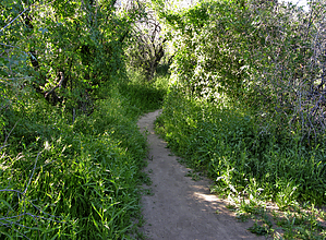


