 Route Editor

| Guide | ♦ | 20 Triplogs | 0 Topics |
details | drive | permit | forecast | route |
stats |
photos | triplogs | topics | location |
| 76 | 20 | 0 |
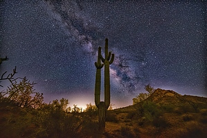
Urban Hum by pseudalpine  Overview OverviewThe Rock Peak Wash Trail tracks the southeastern side of Rock Peak (2152’) and, as named, is literally a wash with mainly a south/north orientation. This short route connects the Rock Peak Wash Trailhead at North Brenner Pass Road to the southern section of the more extensive San Tan Trail. Hike From the dirt parking area, the trail swings west for the first tenth of a mile before reaching the actual wash. For the next quarter mile, a more enjoyable single track is on wash left (west) before transecting the sandy arroyo to the eastern side. The nice single track continues for less than another half mile before a junction with the San Tan Trail, just east of one of the main brown trail identification signs.
Decades ago, this area was secluded, but it is now increasingly being developed. Barking dogs, bulldozers, leaf blowers, snowbirds, and vehicular noise are now common. One may slough the sandy wash the full eight-tenths of a mile or use the more enjoyable social path likely created by increased visitation. But keep in mind, this unauthenticated track may be frowned upon by the custodians of this underutilized regional park.
Check out the Official Route and Triplogs. Leave No Trace and +Add a Triplog after your hike to support this local community. One-Way Notice This hike is listed as One-Way. When hiking several trails on a single "hike", log it with a generic name that describes the hike. Then link the trails traveled, check out the example. | |||||||||||||||||||||||||||||||||||||||||||||||||||||||||||||||||||||||||||||||||||||||||||||||||||||||||||||||||||||||||||||||||||||||||||||||||||||||||||||||||||||||||||


