 Route Editor

| Guide | ♦ | 9 Triplogs | 0 Topics |
details | drive | no permit | forecast | 🔥 route |
stats |
photos | triplogs | topics | location |
| 162 | 9 | 0 |
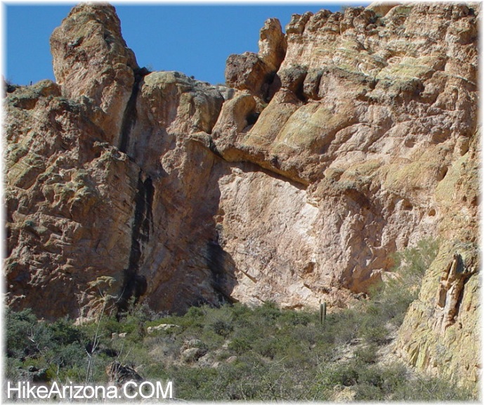
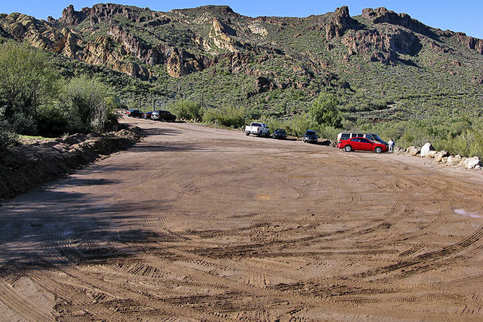
Spicy Blackened Oasis by joebartels  A ravine shoots south from the Tortilla Flat sign, just west of the tourist strip. From SR88 this mini etched canyon in the landscape goes up to Geronimo Head. Here we explore the lower ravine. A ravine shoots south from the Tortilla Flat sign, just west of the tourist strip. From SR88 this mini etched canyon in the landscape goes up to Geronimo Head. Here we explore the lower ravine.There's parking room for one, maybe two cars on the north shoulder of SR88. Don't do it or you'll likely get a $75 ticket. Instead, hike over from the auxiliary lot southeast of Tortilla Flat. Immediately head into the ravine going south of the highway. No maintained trails exist on this adventure. There is a good use trail on the eastern bank. Not knowing this I forged up the ravine. Medium to small-sized boulders are easily negotiated. Bushwhacking must appeal to those that apply. Boots and jeans are your only option for survival in this desert jungle.
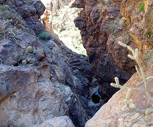
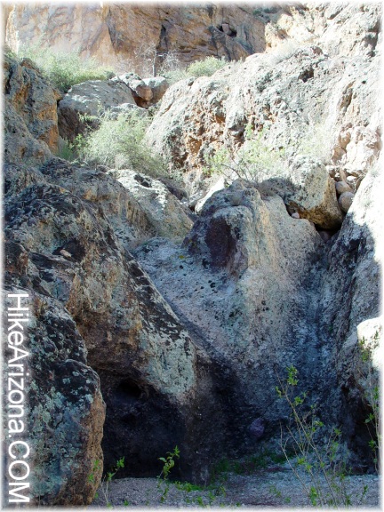
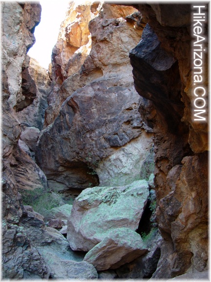
Back down in the ravine just up the creek from the cave sits a beauty. A swimming hole appears to be probable. It's too small for swimming so let's not get excited. With bone-dry conditions I could only imagine water shooting down the waterslide. Another fifteen minutes or so up the ravine is the real gem. The ravine turns into a mini boxed in slot. It's a short-lived journey into the abyss. A sketchy finger grip dangle is necessary to reach the upper deck. It's debatable whether the view back down is worth the risk. If the creek were roaring you'd be washed down in a flash. It's unlikely you'll ever want to take on this mini-adventure. Back in January, I viewed this intriguing area from above. Curiosity got the best of me. As mentioned earlier there is a use trail fairly high above the eastern bank. It's a bushwhack with many pricklies along the way. If you wish to explore further up the ravine... the "right" side of the boxed-in slot is your ticket. I didn't go further as this seemed to be the last hurrah from my photos looking down on the area. Note: for details on the canyoneering version see Headdress Canyon Check out the Official Route and Triplogs. Leave No Trace and +Add a Triplog after your hike to support this local community. | |||||||||||||||||||||||||||||||||||||||||||||||||||||||||||||||||||||||||||||||||||||||||||||||||||||||||


