 Route Editor

| Guide | ♦ | 50 Triplogs | 4 Topics |
details | drive | permit | forecast | 🔥 route |
stats |
photos | triplogs | topics | location |
| 631 | 50 | 4 |
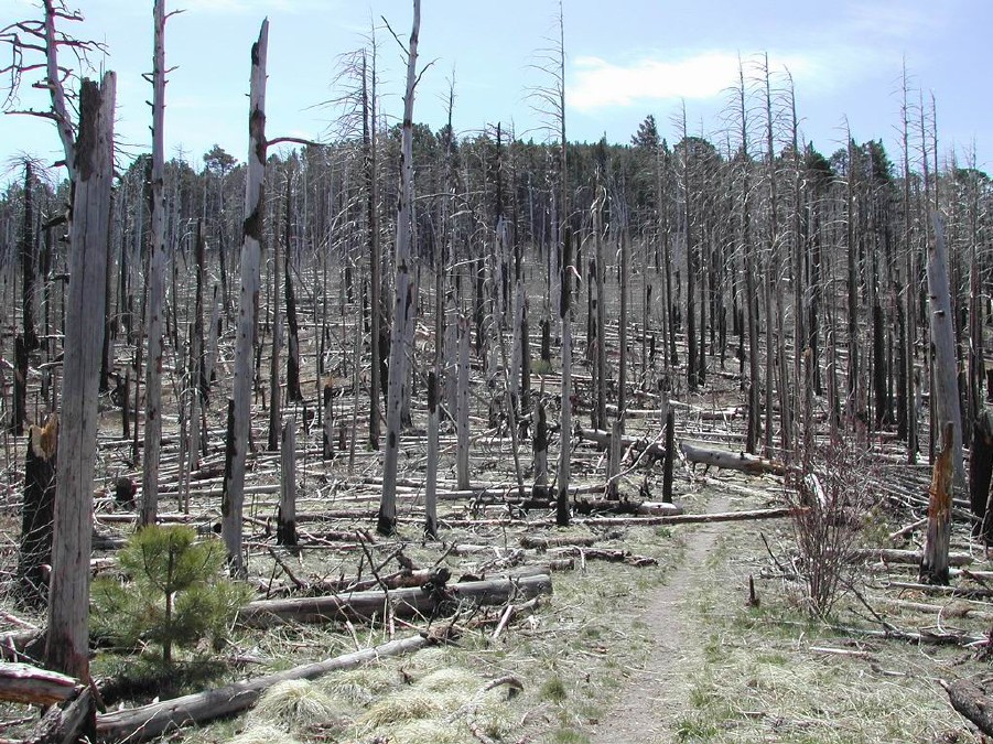
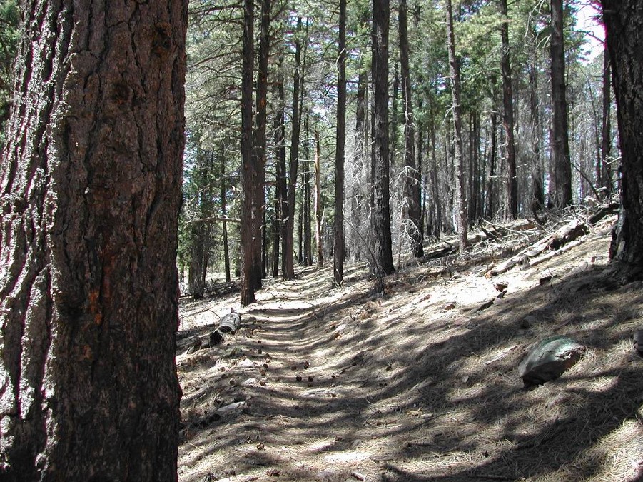
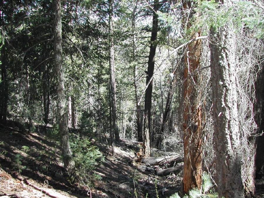
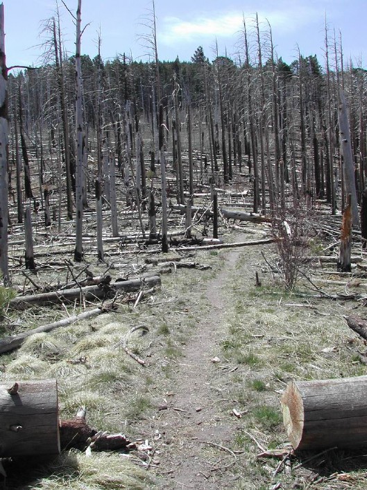
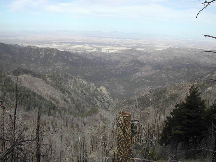
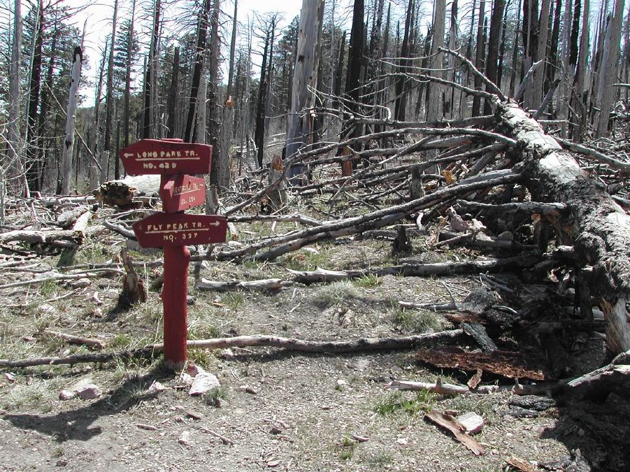
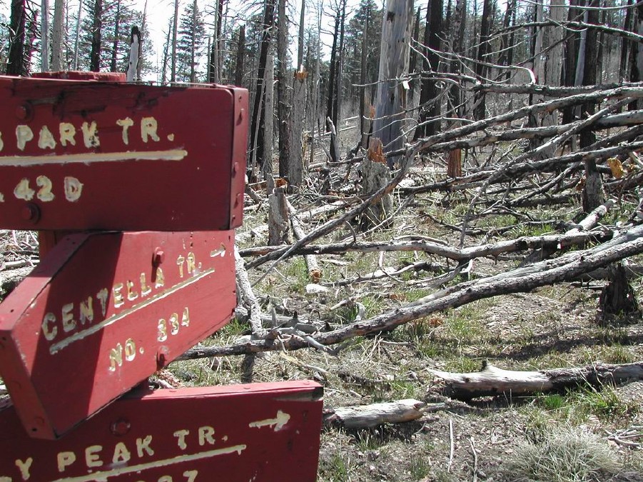
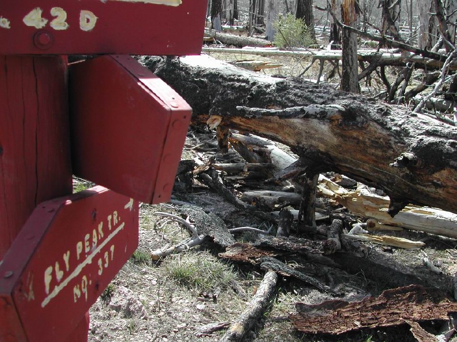
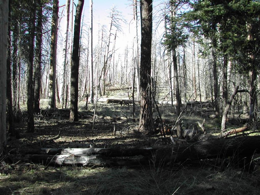
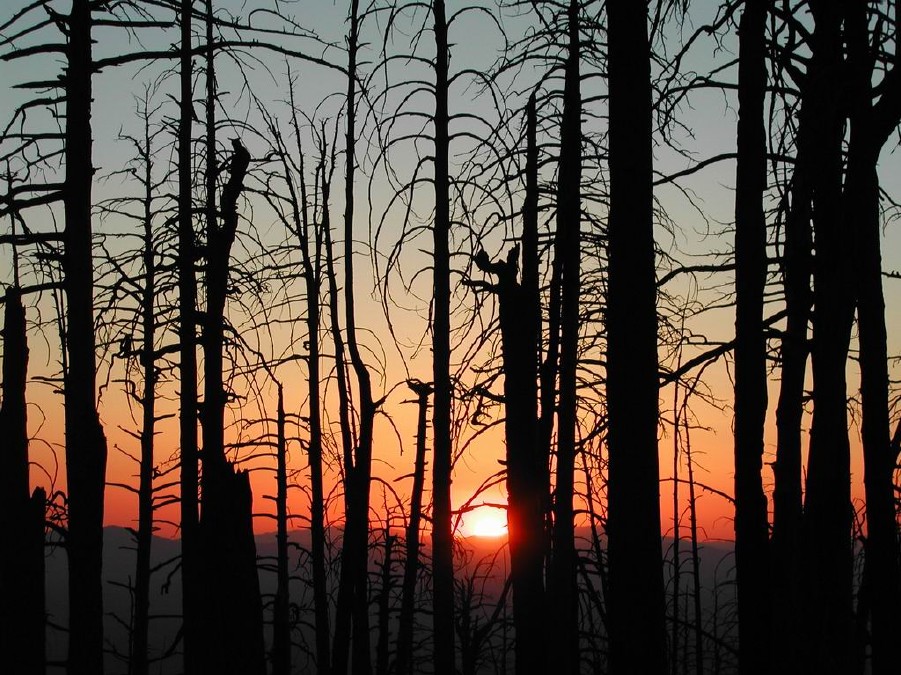
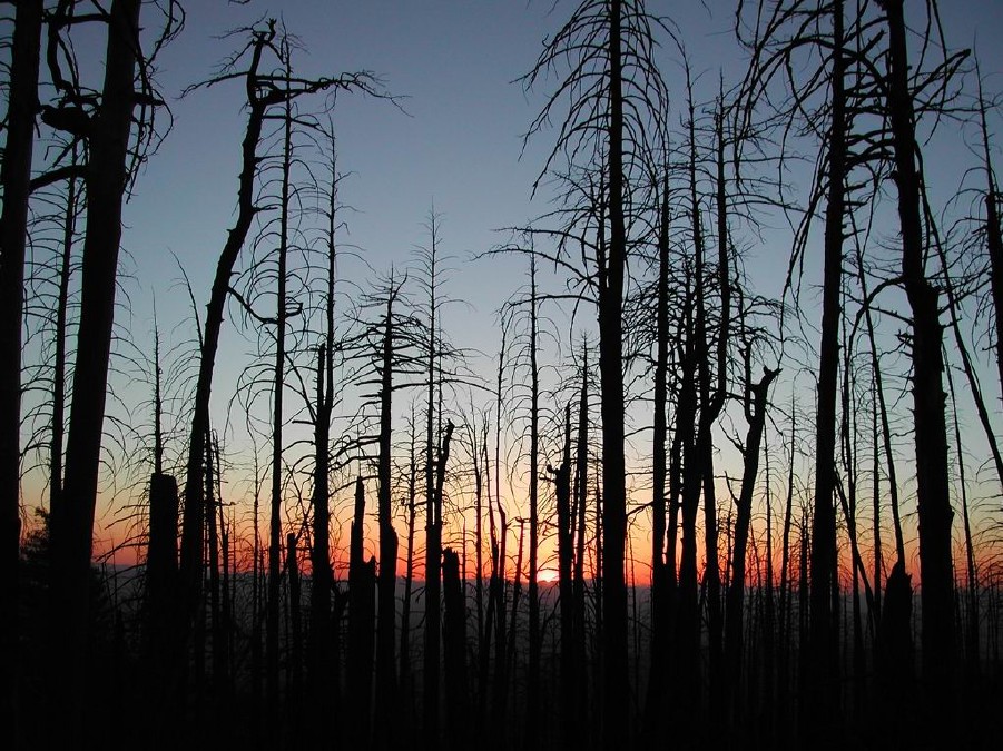
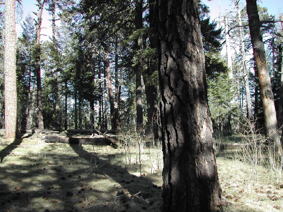
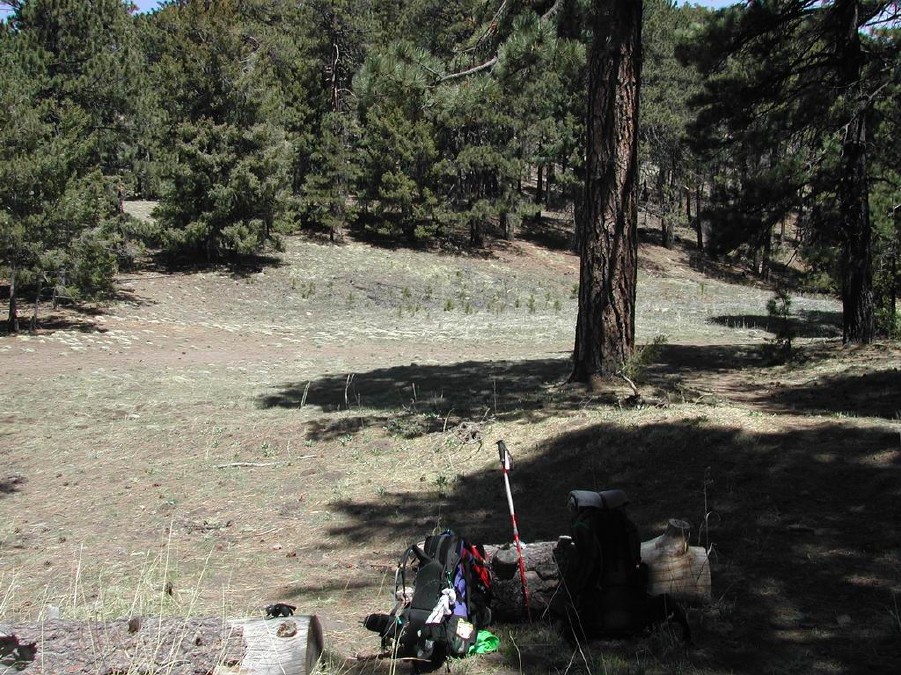
Greenery amidst the Burn by Vashti  This trip report accounts for details from the Rustler Park trailhead to Anita Park via the Chiricahua Crest trail. We backpacked in intending to go to Sentinel Peak, but the altitude affected us more than we thought it would. Anita park is just before Chiricahua Peak, less than 1 mile away. This trip report accounts for details from the Rustler Park trailhead to Anita Park via the Chiricahua Crest trail. We backpacked in intending to go to Sentinel Peak, but the altitude affected us more than we thought it would. Anita park is just before Chiricahua Peak, less than 1 mile away.2022 Update - The trail is clear of deadfall. A couple of things that we think are important to note about this trail. Though the trail itself is "maintained", as you can always locate the trail, it is full of fallen trees from the burn. The trail turns into a bit of an obstacle course, with many trees to step over, climb over, or walk around. The trail could be in much *worse* shape, as you can see while hiking, just how much maintenance has already *been* done by all the cut trees moved off to the side of the trail. Kudos to the trail crews who did all this work; it is much appreciated. The sad thing is that more burned trees fall every windstorm, so trail maintenance is a never-ending task. The large burn areas make for rather dismal hiking with dead trees everywhere and full exposure to the sun. Of the 5 miles to Anita Park, I would say the first mile was beautiful (full greenery & large trees), and the last mile is beautiful, but in between is almost fully burned. The only upside to the fully burned areas is that you get a great view of the mountain range. I am speaking of the burn area from 1994, where the fire burned 27,000 acres in the Chiricahua Wilderness. There is a particularly ugly section of fallen trees, as in plural many fallen trees all of top of each other that require a brief detour from the trail or at the very least some serious over-tree climbing, just past Round Park (just past the Bear Wallow turnoff).
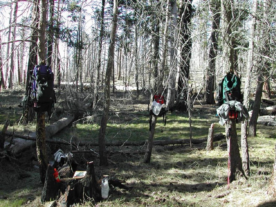
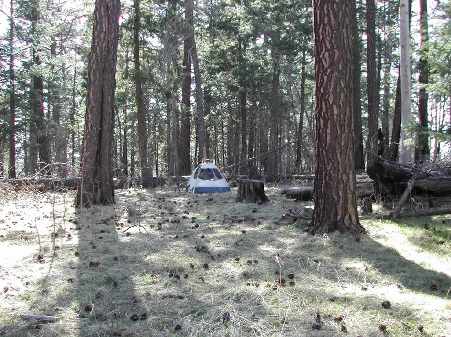
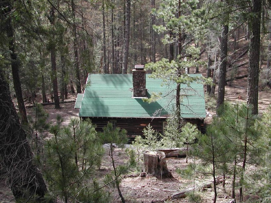
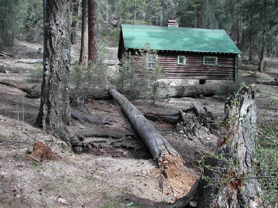
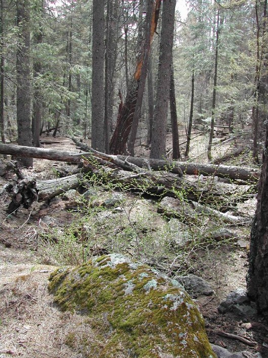
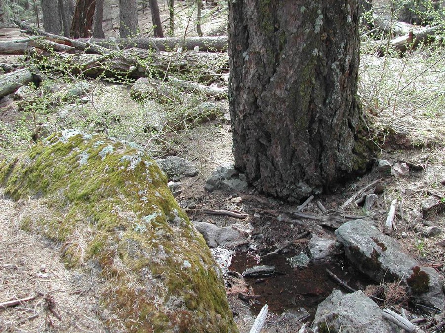
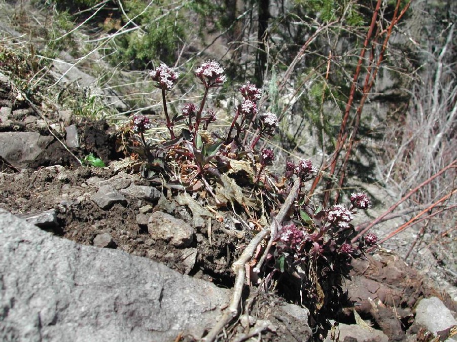
Anita park is ~4.9 miles from Rustler park, and the Chiricahua peak summit trail turnoff is ~0.5 miles past the Anita park turnoff. I must say that despite the heavy burn, the trail signs are all where they are supposed to be. This is good because the Crest trail is almost more a collection of many junctions to other trails. Anita park is a beautiful park, only slightly affected by the burn. There are plenty of high trees to hang up your food if backpacking. Reading the Sentinel peak trail reports on HAZ, I was overly concerned about bears. We did not see any sign of bears, and the other camper in Anita Park said the ranger station had not had any bear reports "for some time", whatever that means. The backpacker from Saulsbury canyon did say she saw fresh bear scat, so take the necessary precautions. There is a nice cooking area in Anita park, complete with a fire ring if fires are permitted when you are there. There is also plenty of grassy areas to provide many great places to pitch your tent. The Anita Park springs trail is clearly signed, and the spring itself is directly off to the left side of the trail (you cannot miss it), about ~0.25 miles or so down the trail. The spring has a stone catch basin that holds probably 8 gallons of water. The catch basin was overflowing when we were there. I think the sunset at Anita park made the trip through some of the more burned parts all worth it!! :) Interesting side trips: * A U.S. Forest Service Cabin is located ~0.5 miles down the Greenhouse trail from the Crest Trail. It is very beautiful down the Greenhouse trail, full greenery and old growth. The trail dips down rather steeply, but if you ditch your pack, it is a nonissue. :) It is worth it to see the Cabin and the pretty clearing, complete with Outhouse. The outhouse door even has "The Highness is In" graffitied on the inside of the door... ! ;) * The HeliPad is located up from Anita Park, on an unmarked spur trail. However, the spur trail is easily discernable as the trail is cleared manually, and many 6-inch high tree stumps are left. The trail extends about ~0.25 miles to the top of that summit, where a large clearing exists, and views are possible on almost all sides. A very exposed campsite is here, as well. A fellow camper in Anita Park, an older man who had been doing trail maintenance when we hiked by him, told us that the clearing is used as a helipad for fire crews and emergencies. I am not sure of the validity of the statement, but it seems reasonable. :) Other notes: * There was plenty of water where we were at Anita Springs and in Cima Creek (by the Forest Service cabin ~0.5 miles on the Greenhouse trail from the Crest Trail). This I mention because when I called the ranger station, they told me to carry in all the water we would need. This was not at all necessary. The springs were flowing strong. * Per the rangers, no campfires are allowed at this time. * The temperature was rather chilly, probably in the low 40's at night. There was plenty of snow patches around the Crest trail. I wish I had brought my gloves and hat, but at least I had my 0F sleeping bag! :) * The Crest trail itself has gradual elevation gains/falls but no hefty climbs/descents. However, the side trails have substantial elevation fall/gains as the Crest trail literally cuts across the mountainside. * The wildflowers were starting to bloom while we were there (4/26/03 weekend), but I would think in another 1-3 weeks from now, they would be in full bloom! Just beautiful!! :) * There is a 4WD drive road that extends past the Rustler Park campground and continues along to meet up with the trail about ~1 miles from the trailhead in a nice meadow area. We did not take this road ourselves, and we are glad we did not because the first one mile of the Crest trail is magnificent with great views of Rustler Park. The first mile of the trail goes through a mostly unburned tree area at a higher elevation than the 4WD road and also follows along a tall rock face for part of the way. * Supposedly, there is a $3 per car fee at the Rustler Park Trailhead parking lot, but when we arrived, there was a sign stapled (heavy-duty stapled via staple gun) to the fee sign which said: "no services, no fee" which I assume was posted by the rangers. Outhouses exist at the trailhead, but the water spigot did not work.
Check out the Official Route and Triplogs. Leave No Trace and +Add a Triplog after your hike to support this local community. | ||||||||||||||||||||||||||||||||||||||||||||||||||||||||||||||||||||||||||||||||||||||||||||||||||||||||||||||||||||||||||||||||||||||||||||||||||||||||||||||||||||||||||||||||||||||||||||||||||||||||||||||||||||||||


