 Route Editor

| Guide | ♦ | 43 Triplogs | 0 Topics |
details | drive | permit | forecast | 🔥 route |
stats |
photos | triplogs | topics | location |
| 394 | 43 | 0 |
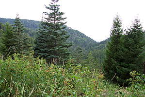
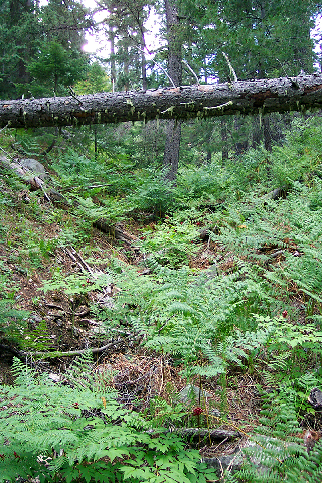
Bigfoot country! by PrestonSands  The Cunningham Loop Trail #316 is made up of an upper trail and a longer lower trail. The upper trail parallels the lower trail a couple hundred feet above and rejoins the lower trail at the two-mile point. The route follows an abandoned road, which is being reclaimed by the forest and contours around the slopes of Mt. Graham itself. This trail is currently about as close as you can legally hike to the summit of Mt. Graham (the mountain is closed above the 9800 foot level for protection of the Mt. Graham Red Squirrel). The Cunningham Loop Trail #316 is made up of an upper trail and a longer lower trail. The upper trail parallels the lower trail a couple hundred feet above and rejoins the lower trail at the two-mile point. The route follows an abandoned road, which is being reclaimed by the forest and contours around the slopes of Mt. Graham itself. This trail is currently about as close as you can legally hike to the summit of Mt. Graham (the mountain is closed above the 9800 foot level for protection of the Mt. Graham Red Squirrel).Arriving at the trailhead on the western end of the trail, I climbed out of my truck next to Cunningham campground and put on my hiking boots. "I'm too tired to hike", I thought, but I knew I'd regret it if I didn't. I hiked past a gate and uphill into the thick forest. Within a half-mile, I came to the junction of the upper and lower loops. Deciding on the lower loop, I set off into the woods.
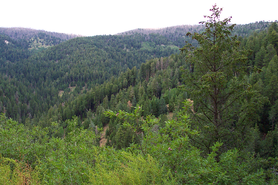
The last two miles were just incredible. Giant trees covered in moss, thickets of Christmas tree-like spruces, aspens, and a patch full of sweet raspberries were the highlights. Where the trail rounds a ridge at about the three-mile point, there are some good views to the north of Mt. Graham, and its little brother, Hawk Peak. Their summits are the only visible fire damage in the area. There are a couple of old side roads that join up with the trail just before the end, one of which could be confusing to hikers coming from the Grant Hill side (stay left if heading north). I soon arrived at the Swift Highway and found myself at Grant Hill trailhead (the eastern trailhead), where the Cunningham Loop Trail comes to an end. Gate Policy: If a gate is closed upon arrival, leave it closed after you go through. If it is open, leave it open. Leaving a closed gate open may put cattle in danger. Closing an open gate may cut them off from water. Please be respectful, leave gates as found. The exception is signage on the gate directing you otherwise.
Check out the Official Route and Triplogs. Leave No Trace and +Add a Triplog after your hike to support this local community. | |||||||||||||||||||||||||||||||||||||||||||||||||||||||||||||||||||||||||||||||||||||||||||||||||||||||||||||||||||||||||||||||||||||||||||||||||||||||||||||||||||||||||||||||||||||||||||||||||||||||||||||


