 Route Editor

| Guide | ♦ | 20 Triplogs | 0 Topics |
details | drive | permit | forecast | 🔥 route |
stats |
photos | triplogs | topics | location |
| 115 | 20 | 0 |
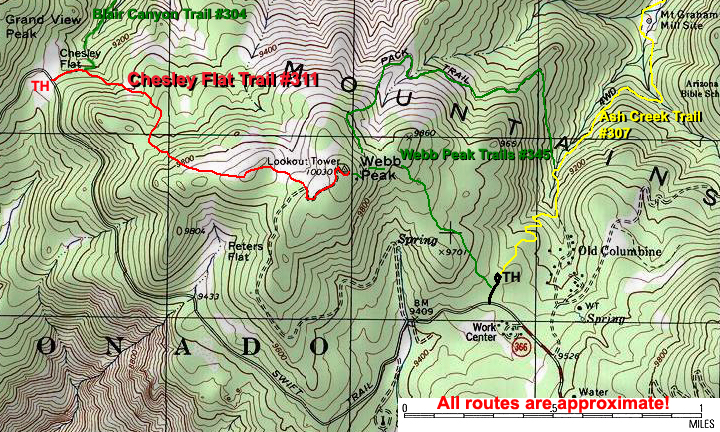
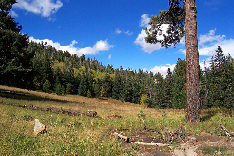
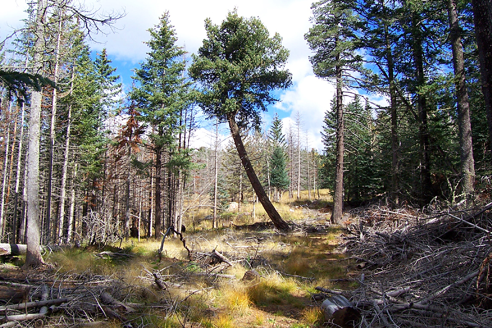
High mountain meadows by PrestonSands  The Chesley Flat Trail begins in a picturesque meadow high in the Pinaleno Mountains, where an old dairy farm run by the Chesley family was located. It is one of four different routes to the top of 10,000 foot Webb Peak. This trail is seldom used and is especially difficult to follow on its top half, due in part to fire line construction which obliterated parts of the trail. The Chesley Flat Trail begins in a picturesque meadow high in the Pinaleno Mountains, where an old dairy farm run by the Chesley family was located. It is one of four different routes to the top of 10,000 foot Webb Peak. This trail is seldom used and is especially difficult to follow on its top half, due in part to fire line construction which obliterated parts of the trail.Consequently, you will need some route finding skills. A topographical map and gps are helpful. Also, the section of the Swift Trail that accesses the Chesley Flat area is closed to traffic from November 15 to April 15, due to heavy snowfall. Look for the historical marker along the Swift Trail as soon as you enter the Chesley Flat meadow, as this is where the Chesley Flat Trail begins. The approximate gps coordinates for the trailhead are: 32 degrees 42.951' N, 109 degrees 56.379' W.
At around 1.2 miles, the Chesley Flat Trail joins up with forest road 88 on a curve in the road. Turn left (uphill) and follow the road for 0.3 miles up to the top of Webb Peak. Just above the end of the road are the Webb Peak fire tower and 360-degree views. Then, heading back down, you can return the way you came or take one of the two branches of the Webb Peak Trail #345 and make a 4+ mile trek back on the Swift Trail to Chesley Flat. Whatever route you choose, it's beautiful!
Check out the Official Route and Triplogs. Leave No Trace and +Add a Triplog after your hike to support this local community. | ||||||||||||||||||||||||||||||||||||||||||||||||||||||||||||||||||||||||||||||||||||||||||||||||||||||||||||||||||||||||||||||||||||||||||||||||||||||||||||||||||||||||||||||||||||||||||||||||||||


