| Mazatzal Mountains |
| Mazatzal Mountains, Arizona - Maricopa County | Range |
|
||||||||||||||||||||
|
||||||||||||||||||||
| .: John10s :. | |
 |
|
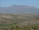
Del Shay Trail #41 | |
| .: DixieFlyer :. | |
 |
|
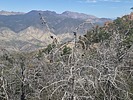
FR27 - Old Mount Ord Road | |
| .: chumley :. | |
 |
|
Rimtop Snowshoe | |
| .: DixieFlyer :. | |
 |
|
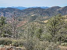
Hellsgate 37 ( North ) to Tonto Creek | |
| .: DixieFlyer :. | |
 |
|
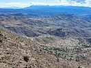
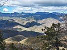
Towel Peaks East | |
| .: DixieFlyer :. | |
 |
|
Mount Ord from 626 TH | |
| .: DixieFlyer :. | |
 |
|
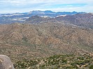
Adero Super Loop II | |
| .: DixieFlyer :. | |
 |
|
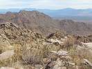
Granite Mountain 4,699 - Tonto NF | |
| .: DixieFlyer :. | |
 |
|
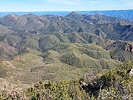
Bell Pass from Dixie Mine | |
| .: DixieFlyer :. | |
 |
|
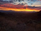
Saddle Mountain 6535 - Mazatzals | |
| .: DixieFlyer :. | |
 |
|
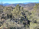
Adero Double Loop | |
| .: DixieFlyer :. | |
 |
|
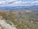
Hellsgate 37 ( North ) to Tonto Creek | |
| .: DixieFlyer :. | |
 |
|
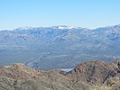
Thompson Peak from Adero Canyon | |
| .: John10s :. | |
 |
|
Maverick Butte - Deer Flat Loop | |
| .: John10s :. | |
 |
|
Gibson Peak Loop | |
| .: John10s :. | |
 |
|
Ballantine Cabin to Boulders Loop | |
| .: DixieFlyer :. | |
 |
|
Sunrise Peak from 124th Lost Dog Trailhead | |
| .: tibber :. | |
 |
|
Pine Mountain Dog Walk | |
| page 1, 2 |
|
|
|
|

| Information on this page has been gathered from member submissions. Effort has been made to avoid any infringement of copyright. Additionally, any use is anticipated to be within the "fair use" doctrine. If any copyright has been infringed, please notify the webmaster. The disputed information will be removed and your issue will be resolved. If you are a submitting member, please inform and discuss with HAZ if you think you are submitting any copyright issue. Please help us stay with the law. |