| |
|
| | |
|
| Hiking | 3.50 Miles |
870 AEG |
| | Hiking | 3.50 Miles | 2 Hrs 30 Mns | | 1.56 mph |
| 870 ft AEG | 15 Mns Break | | | |
|
|
| |
| Linked |
|
none
[ show ]
| no linked trail guides |
| Partners |
|
none
[ show ]
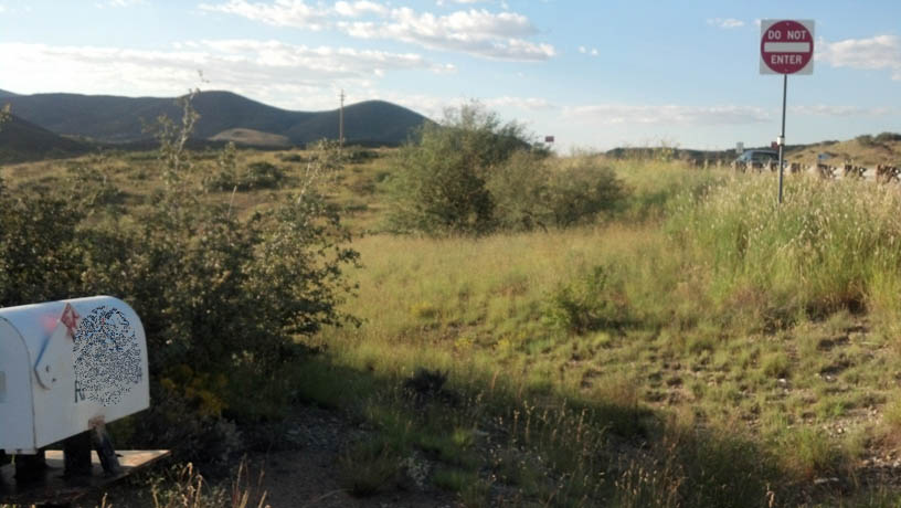
| no partners | | Finding the Grape Vine Road turn off is 'easy' (heading west from I-17) if you follow mile markers....if you pass mile marker 274 you missed the turn by 200 feet... south side of 69. Look for the 'Do Not Enter' sign on the south side of the road. Grape Vine Road is 100 feet east from this sign (see photo):
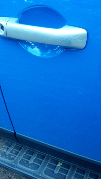
Only high clearance 4x4 vehicles can get to the trailhead....also, expect "Arizona Pinstripes" (scratched paint)... It's a rough road.... Kinda fun if you have a jeep or something similar.
Again: The last 1.5 mile drive to the "trail head" is only possible if you have both a high-clearance and 4X4 vehicle. No exceptions. Your paint job won't quite be the same afterwards either:
The trail itself is pleasant and not well-traveled . Hikers will need bug spray.
See photos:http://hikearizona.com/photo.php?ZIP=283996 |
|
Autumn Foliage Observation Isolated
|
|
|
Wildflowers Observation Isolated
|
|
| _____________________
| | |
|
|
|
|
|
| |
 Route Editor


