 Route Editor

| Guide | ♦ | 4 Triplogs | 0 Topics |
details | drive | no permit | forecast | 🔥 route |
stats |
photos | triplogs | topics | location |
| 33 | 4 | 0 |
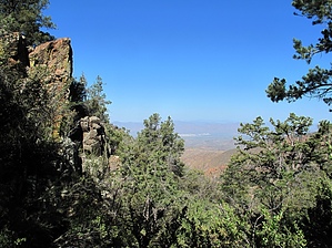
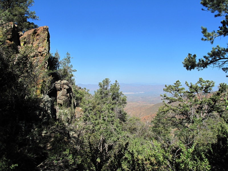
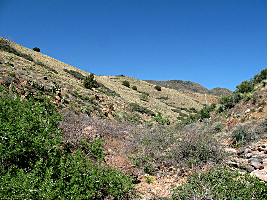
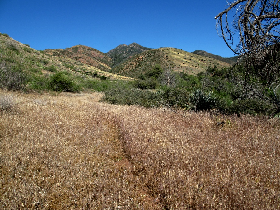
Southern Mazzie Heartland by joebartels  Overview Overview2.8mi on the Mazatzal Divide Trail #23. 5.4mi down upper Sheep Creek. 3.9mi east on Sheep Creek Trail #88. 4.7mi NE on Thicket Spring Trail #95. 0.6mi east back to the trailhead on the Mazatzal Divide Trail #23. 11.2 miles are in the Mazatzal Wilderness. Study this map. Warning Potentially dangerous based on your skill level and weather. Do not attempt this without proficient map orientation skills. Look for trailhead forecasted temps no greater than 85 degrees. Down climbing one undercut dryfall is required on the official route. Backtracking midway may be worse than continuing.
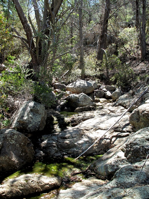
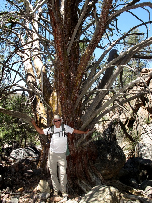
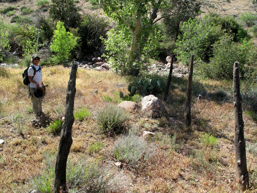
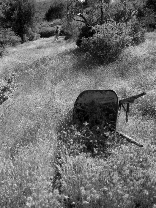
Bruce(the_Eagle) and I completed this route at an enjoyable 14hr pace. Head out on the Mazzie Divide Trail. You'll pass into the Mazzie Wilderness just after 1.8mi. Continue to 2.8mi, where a low saddle is on your left. Here is where you go off-trail. Climb a short 80ft up to the saddle. Into the Abyss The fun starts. The terrain for the next 1-1.5mi of this loop is the most challenging to negotiate, yet nothing terrible. Head down (east,SE is okay) to the ravine that makes up upper Sheep Creek as depicted on topographical map. We merged in just under the 5,800 contour line, but anywhere above 5,600 is fine. Upper Creek Follow the creek best you can down to a waterfall at 4,900ft about 4.7mi from the trailhead. Along the way you will pass a trophy Arizona Cypress not to be missed. The waterfall will stop you dead in your tracks with a drop off around 100ft. It wouldn't be worth carrying the rope to rappel since there aren't any other rappels on this long route. Instead, head west up through a low brushy ridge, maybe 80yards to a tributary that is negotiable on foot. This is the thickest brush of the hike. Plow through, make it happen and get on with the show. The descent is over quick, and you will be going through boulders and tree trunks. Before you know it, the waterfall is to your right. As it was merely a trickle, I didn't even realize it until Bruce pointed it out. Mid Creek For the mile after the waterfall, things begin to ease up. You will see occasional short game trails. Don't get your hopes up. They all peter out quick, and rest assured there are no freeways out here in the middle of nowhere. Lower Creek From about the 4,350ft contour down to 3,900ft, a 2.3mi stretch, I felt like I was in heaven. The creek is easygoing as you head down to the spot of a now-absent cabin. On our trip after a relatively dry winter, the creek was still surfacing off and on. We took full advantage of the situation and dunked our hats and shirts repeatedly. To your right(north) are rolling hills that are virtually bare. On your left(south), you witness the forest adapting to the lower elevation. This was among my most memorable moments ever. I seriously doubt others will experience the exact conditions and feelings. Turn Home After checking out the old cabin area it's time to head home. Finding Sheep Creek Trail #88 may be a challenge. Large cairns kept us in check. Unfortunately the foxtails in this area depleted my joyous attitude into cursing. Come prepared with proper footwear and the enchanting views will leave you with a positive experience. #88 gets progressively better, turning into an actual trail. Then it's a matter of following #95 & #23 back to the trailhead. Check out the Official Route and Triplogs. Note This is a difficult hike. It would be insane to attempt this entire hike without prior experience hiking. Leave No Trace and +Add a Triplog after your hike to support this local community. | ||||||||||||||||||||||||||||||||||||||||||||||||||||||||||||||||||||||||||||||||||||||||||||||||||||||||||||||||||||


