Route Editor

| Guide | ♦ | 30 Triplogs | 1 Topic |
details | drive | permit | forecast | 🔥 route |
stats |
photos | triplogs | topic | location |
| 126 | 30 | 1 |
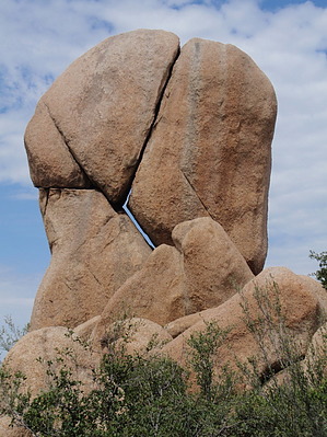
Woods and views by MEWhiteman  Overview OverviewThis hike is a pleasant loop hike of 7.3 miles, half in shaded forest and half in open scrub with great views to the west. The hike utilizes the Clark Spring Trail #40, Little Granite Mountain Trail #37 and Granite Mountain Trail #261 trails in the Granite Basin Recreation Area to circumnavigate Little Granite Mountain in Prescott. Hike Start this hike at the Metate Trailhead in the Granite Basin Recreation Area. Begin on the Granite Mountain Trail #261 across the street from the parking area by the trailhead driveway (N34 36.936 W112 33.078). At .07 miles continue straight passing a shortcut on the left. At 0.17 miles (N34 37.004' W112 33.077') turn left to avoid the spur trail to the lake. At .23 miles arrive at the the junction with the Balancing Rock Trail #349 (N34 37.048 W112 33.094). Turn left here and at .37 miles pass the shortcut coming in from the left. At .39 miles reach the intersection with the Clark Springs Trail (#40) (N34 36.964 W112 33.201). Turn right here. The trail begins on a dirt road but quickly turns left off the road at .41 miles (N34 36.974 W112 33.217).
At 1.6 miles on trail #37 you reach the junction with Upper Pasture Trail #38 (N34 36.984 W112 34.920) to the left and White Rock Spring Trail #39 to the right. Go right towards White Rock Spring Trail #39. Approximately 2.8 miles from the Clark Spring Trail #40 there is heavy wooden gate. Go through the gate and turn right on the Granite Mountain Trail #261 to return to the trailhead. It's about 1.7 miles back to your car from here through the scrub and shaded forest with only minor ups and downs. When you reach the intersection with trail #349, you retrace your steps from the beginning of the hike to return to the trailhead. Gate Policy: If a gate is closed upon arrival, leave it closed after you go through. If it is open, leave it open. Leaving a closed gate open may put cattle in danger. Closing an open gate may cut them off from water. Please be respectful, leave gates as found. The exception is signage on the gate directing you otherwise. Check out the Official Route and Triplogs. Leave No Trace and +Add a Triplog after your hike to support this local community. | |||||||||||||||||||||||||||||||||||||||||||||||||||||||||||||||||||||||||||||||||||||||||||||||||||||||||||||||||||||||||||||||||||||||||||||||||||||||||||||||||||||||||||||||||||||||||||||||||||||||||