 Route Editor

| Guide | ♦ | 9 Triplogs | 0 Topics |
details | drive | permit | forecast | route |
stats |
photos | triplogs | topics | location |
| 34 | 9 | 0 |
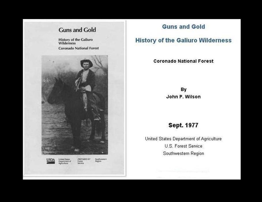
Guns and Gold (and Goats) by Randal_Schulhauser  History HistorySpanish explorer Francisco Vasquez de Coronado crossed what is now southern Arizona in 1540, probably passing just east of the Galiuros. His army may have followed the San Pedro River Valley northward from Mexico, and then continued along the Sulphur Spring and Aravaipa Valleys with the Galiuro Mountains on their left. Somewhere near the Galiuros, Coronado's chroniclers noted a large abandoned structure they called "Chichilticale," or Red House. No one knows exactly where this structure was. One of the chroniclers wrote that the natives of the region lived by hunting and in rancherias, without permanent settlements. The first gold discoveries nearly coincided with President Theodore Roosevelt's July 22, 1902 declaration of the higher part of the Galiuros as a Forest Reserve. Six years later the Forest Reserves in Graham County became part of Crook National Forest. The protection here was not for the timber, of which the Galiuros had very little, but for the watershed, which in desert lands is an even greater consideration. In 1953 the Crook National Forest was incorporated into the Coronado National Forest.
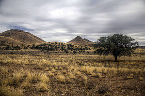
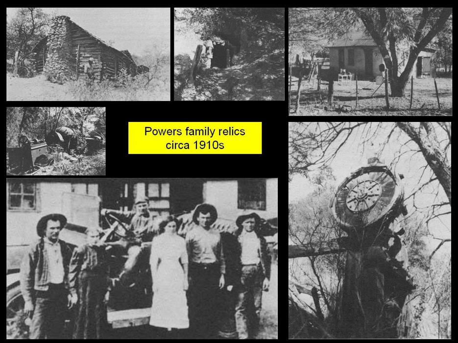
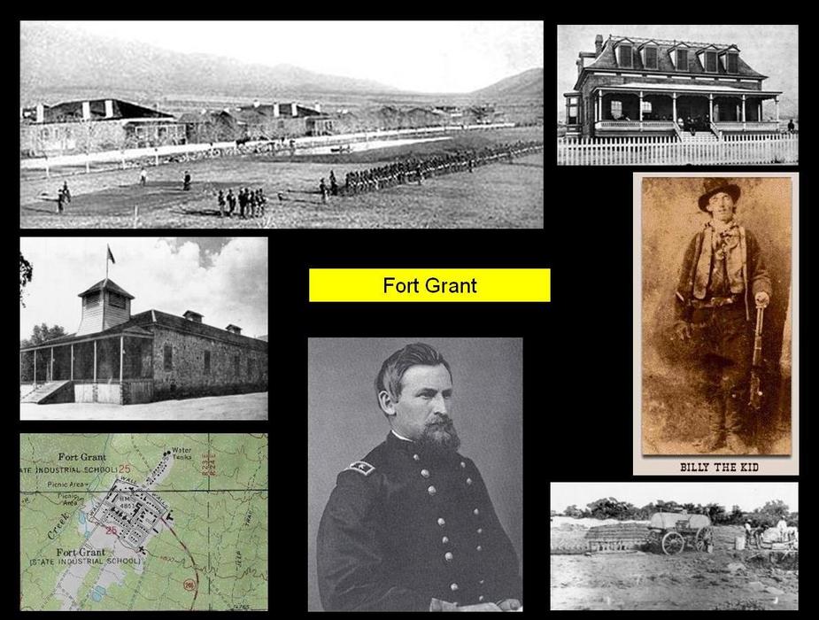
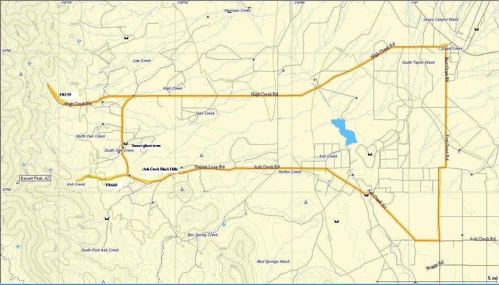
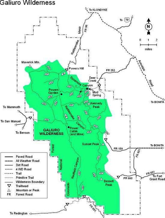
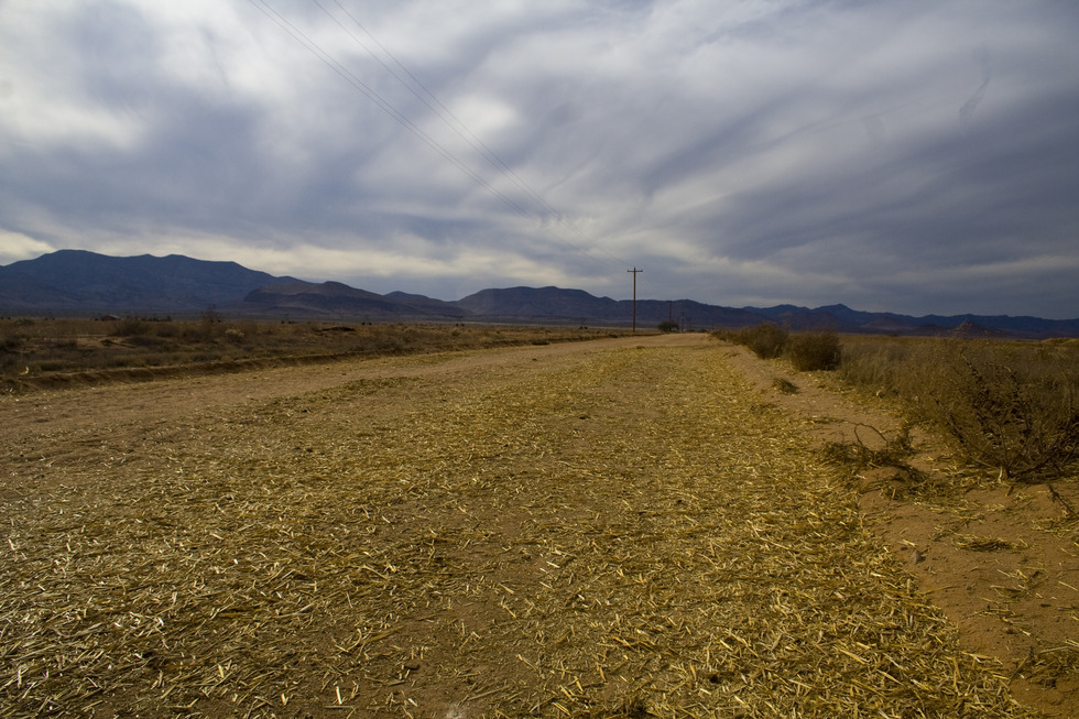
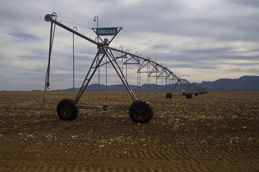
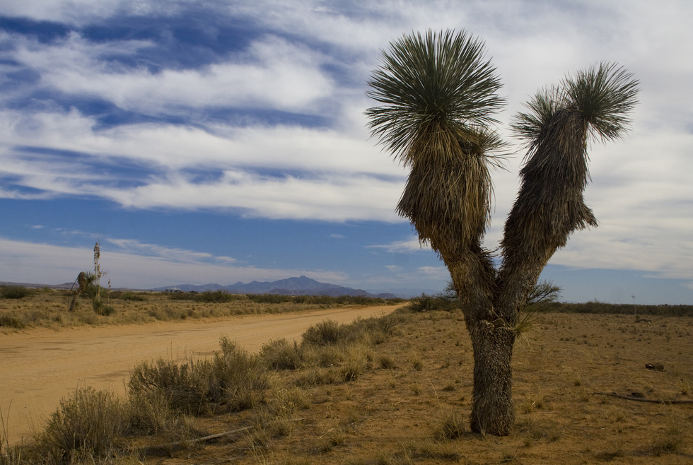
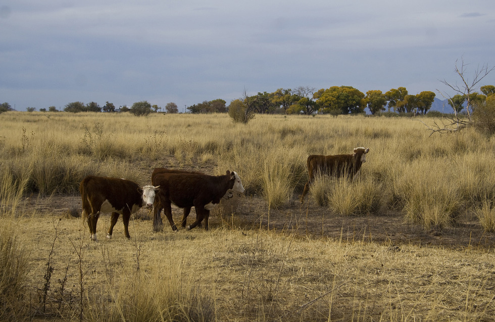
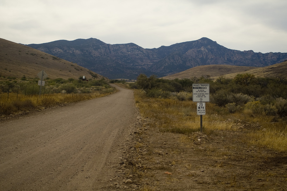
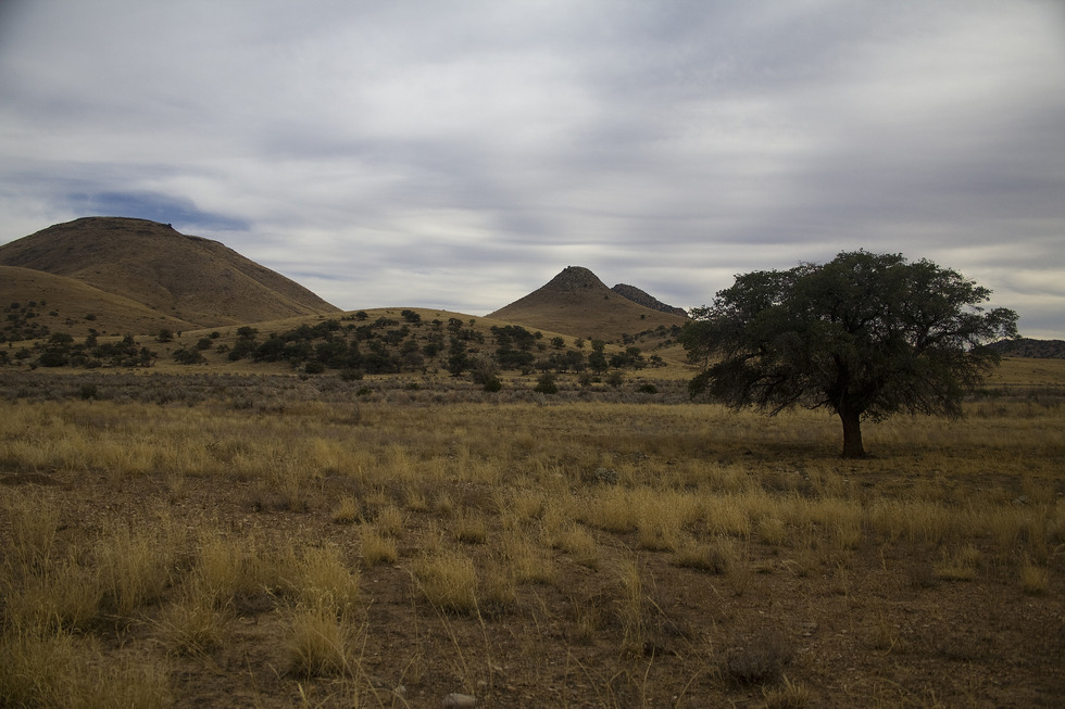
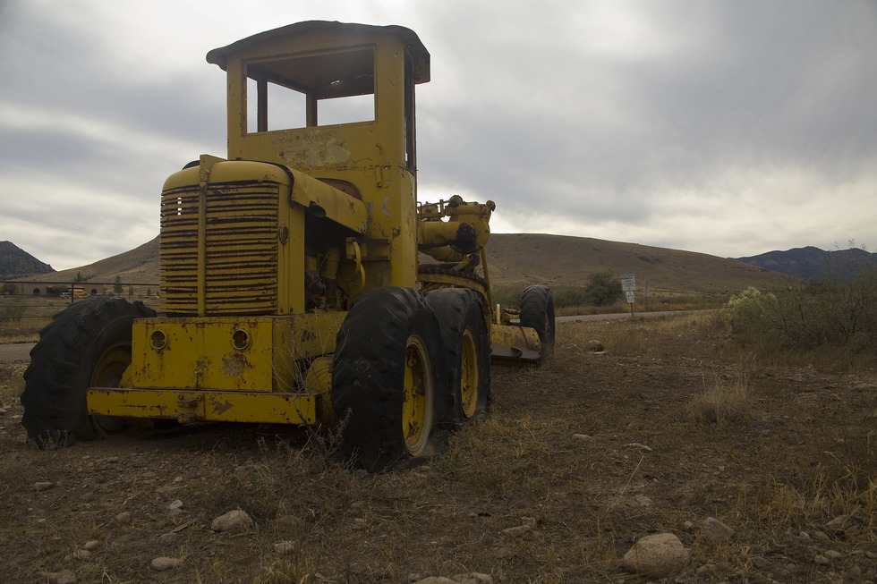
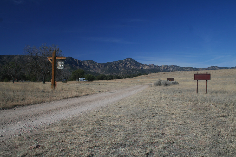
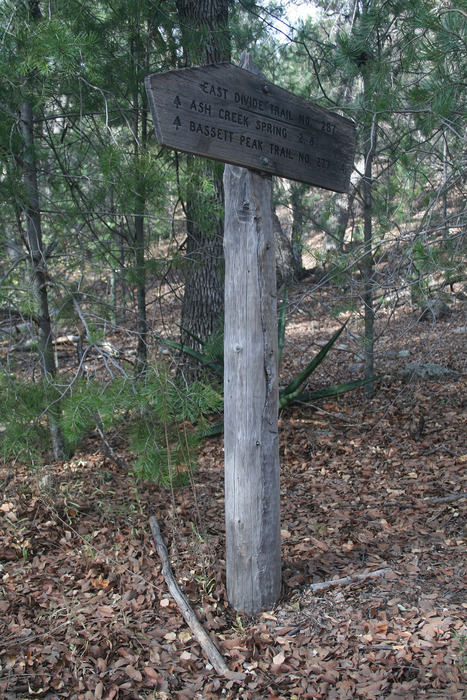
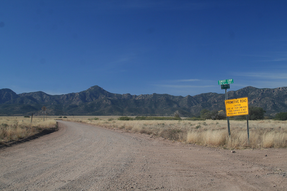
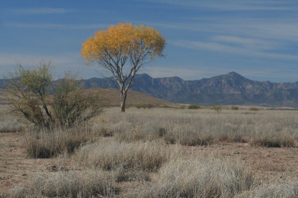
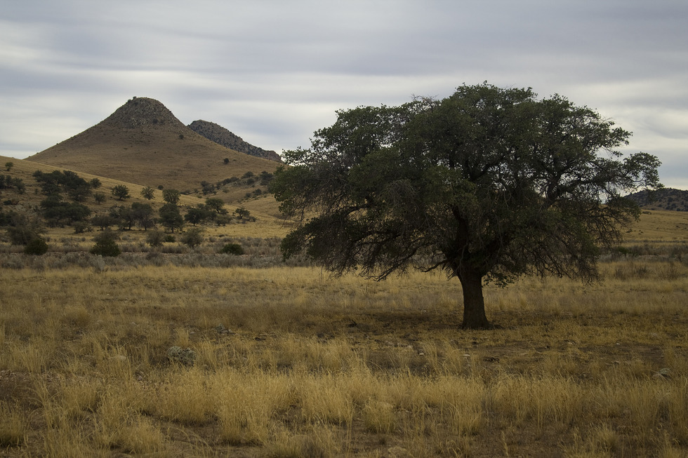
More History Fort Grant resulted from the relocation of Old Camp Grant in the aftermath of the 1871 "Camp Grant Massacre". The fort was strategically placed at the southern slopes of Mount Graham to protect local settlers and played a prominent role in the 1880s Apache Wars. William Bonney reportedly settled in the vicinity of Ft. Grant in 1876 working as a ranch-hand and tending sheep nearby. In nearby Bonita, Bonney killed the local blacksmith and was taken into custody at the Ft. Grant stockade. He escaped back to New Mexico before he could be tried for the first killing committed by the boy who would become known as "Billy the Kid". In 1905 the Army abandoned the fort and transferred all troops to Fort Huachuca. Today the Fort Grant site is occupied by a State Prison. Bonus History Sunset is a ghost town near the South Oak Creek road crossing. Sunset owed its existence to the mines on Sunset Peak just west of the townsite. It had a post office from 1917 to 1932. After his imprisonment for the 1918 shootings and draft evasion, John Powers passed away at his residence in Sunset AZ in 1970. Drive/Hike This is not a true hike, but a 4x4 (or high clearance) excursion along a Backcountry Byway - the Sunset Loop - with plenty of stops for hiking, photo opportunities, and soaking in a little AZ history. Hiking is primarily limited to the Galiuro Wilderness with the majority of the Sunset Loop traversing private ranch lands. Please respect notices on private lands. Mile 0.0 4-way stop at the junction of Ash Creek Road and Fort Grant Road - where the pavement ends marks the beginning of our current day Sunset Loop route. The 4-way stop marked the western terminus of the Eurofresh Farms greenhouses - 3 miles of greenhouse tomatoes. Nearby Crop Circle Winery seems to pay homage to the monster irrigation rigs. Mile 3.0 Hi-tech agriculture soon gives way to the cattle grazing grasslands of Sulfur Springs Valley. The valley plain is dotted with Soaptree Yuccas. The Winchester Mountains dominate the view to the immediate south. Mile 5.8 Ash Creek Road bends due west and this is cow country. There's a surprising number of abandoned farms and Mount Graham looms to the north. Mile 10.4 As Ash Creek Road blends into Sunset Loop Road, you enter into the Ash Creek Black Hills. Bassett Peak and other topographical prominence of the eastern Galiuro Mountains come into view. Derelict machinery dots both sides of the road. Mile 14.3 Sunset Loop Road bends north near the junction with FR660. FR660 takes you to the Basset Peak/Ash Creek Canyon trail head (about 2 1/2 miles from Sunset Loop Road). There are plenty of campsites along FR660. See Bassett Peak for more information. Mile 15.6 As Sunset Loop Road gradually dips into the Oak Creek drainage, note the abandoned buildings and foundation remnants. This is all that remains of the ghost town of Sunset. Mile 17.8 You arrive at the junction of Sunset Loop Road and High Creek Road. Head west on High Creek Road/FR159 about 4 miles to reach the Sunset Peak/High Creek trailhead. This TH provides spur trail access to the East Divide Trail, Rattlesnake Canyon, Kennedy Peak, and so much more. Powers Cabin, Mine, and Garden are also accessible from this TH. See Powers Garden for more information. Mile 23.8 Continuing east along High Creek Road, you'll arrive at the junction of Wells Ranch Road. There are views of the Pinaleno Mountains to the north, the Winchester Mountains and Ash Creek Black Hills to the south, and the Galiuro Mountains to the west. Mile 31.4 The return to the paved road and stop sign at Fort Grant Road indicates that you are in Bonita. The collection of abandoned buildings could cause one to wonder if Bonita should be reclassified as a ghost town. The nearby state prison marks the grounds of historic Fort Grant. Mile 39.7 Continue south on Fort Grant Road until you reach the 4-way stop sign to complete the Sunset Loop. Summary The "Sunset Loop" provides a unique opportunity to investigate remnants of some obscure Arizona history. With access to FR660 and the Bassett Peak TH and FR159 and the Sunset Peak TH, there is a primo shuttle hike/backpacking opportunity along the Eastern Divide of the Galiuro Mountains with access to Powers Cabin! Enjoy! . Check out the Official Route and Triplogs. Leave No Trace and +Add a Triplog after your scenic drive to support this local community. | ||||||||||||||||||||||||||||||||||||||||||||||||||||||||||||||||||||||||||||||||||||||||||||||||||||||||||||||||||||||||||||||||||||||||||||||||||||||||||


