 Route Editor

| Guide | ♦ | 136 Triplogs | 10 Topics |
details | drive | permit | forecast | route |
stats |
photos | triplogs | topics | location |
| 2.7k | 136 | 10 |
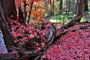
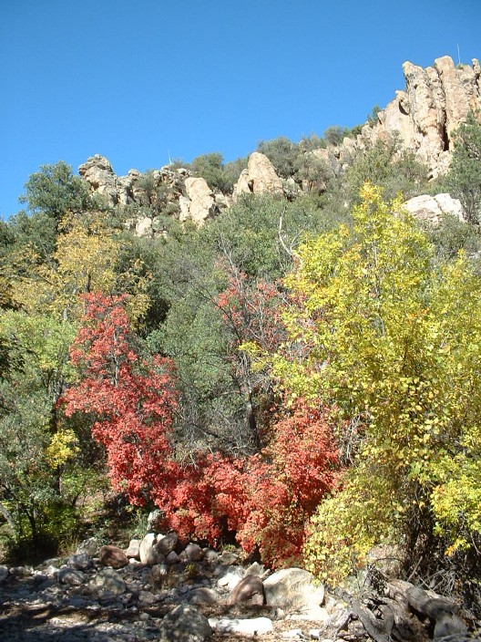
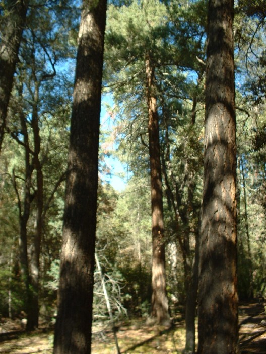
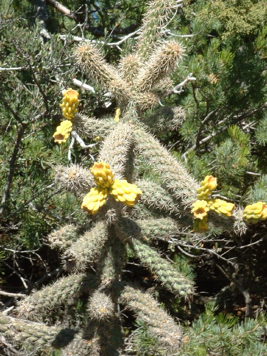
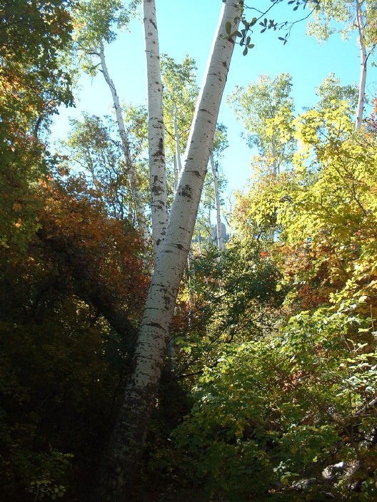
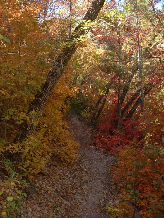
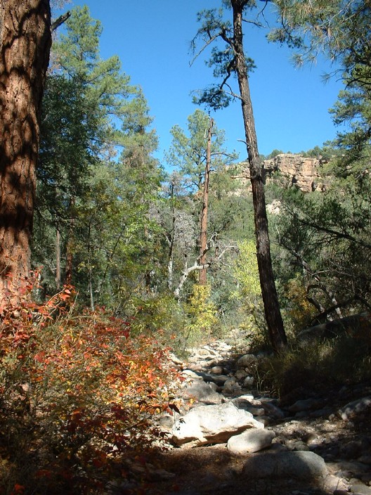
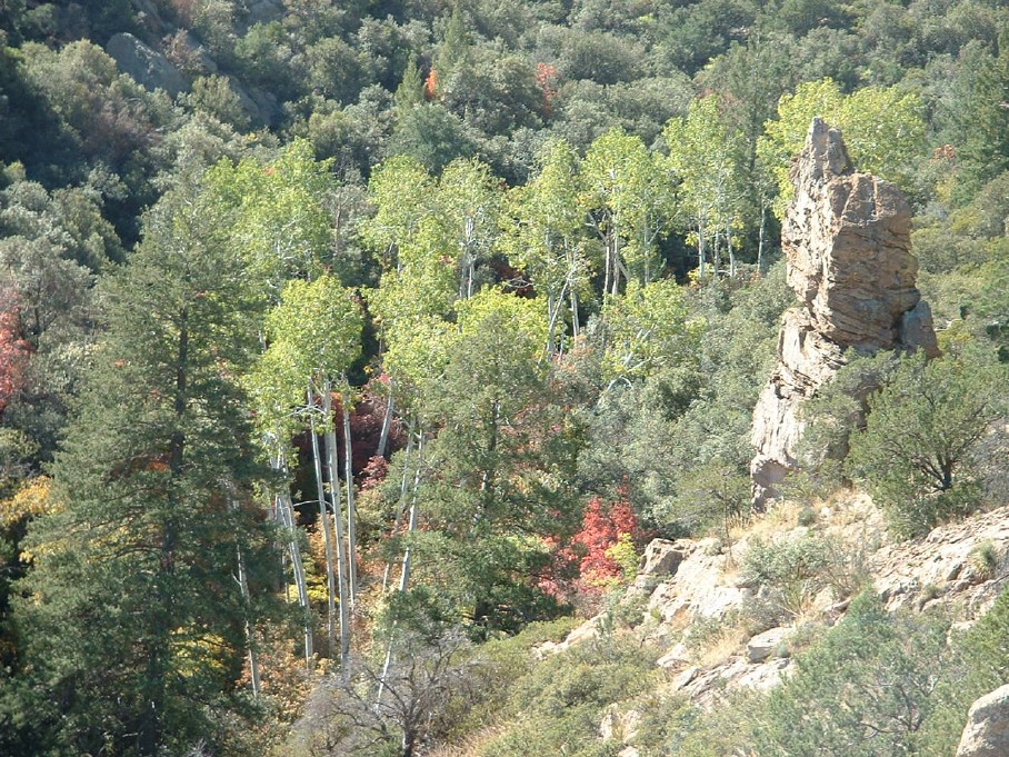
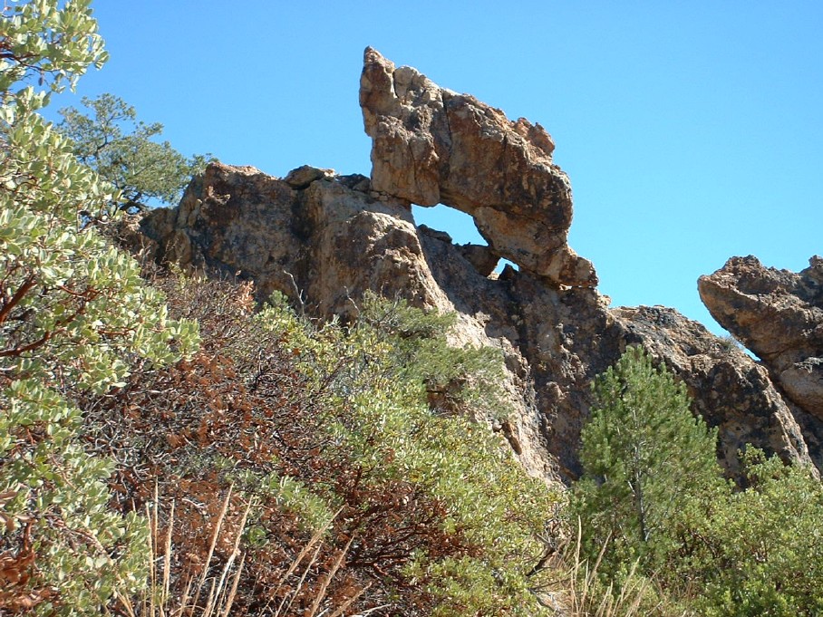
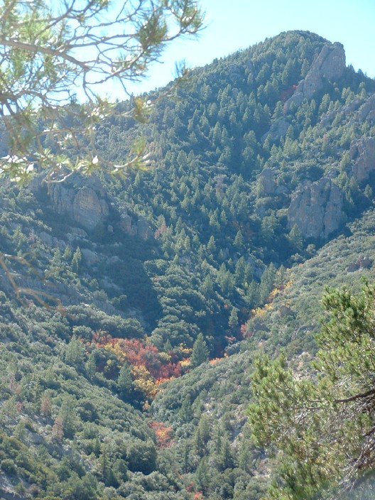
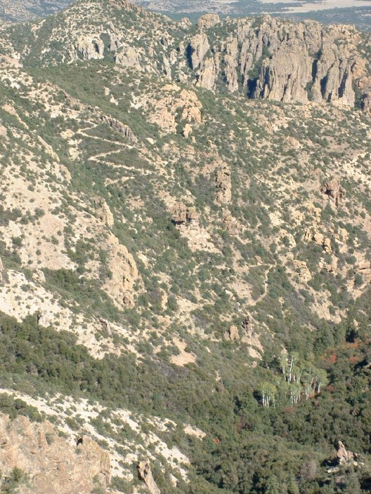
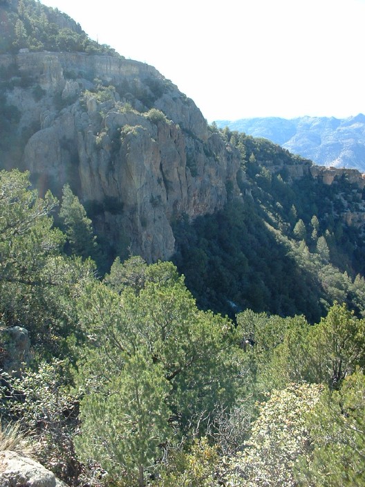
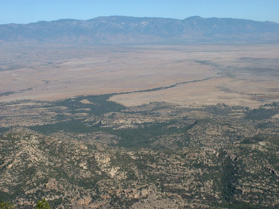
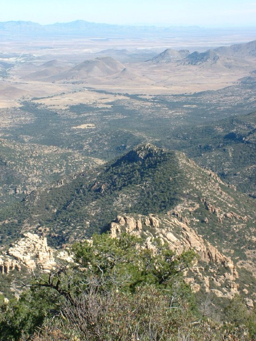
Solitude and Variety by aaronhales   Nestled halfway between the popular Santa Catalina and the towering Pinaleno Mts lie a seldom-visited gem - the Galiuro Mountains. Even though it's only around 100 air miles from Phoenix, it takes approximately 3 1/2 hours to get there from Phoenix due to its remote location. But it's worth the effort to get there. It has such variety of scenery such as oak, pines, cactus, aspen and more. This time of year is an especially good time to go not only because of the weather but the changing Fall colors are outstanding. In fact, Arizona Highways has an article in the November 2003 issue on the Galiuros and the changing colors. Anyway, on to the trail. Nestled halfway between the popular Santa Catalina and the towering Pinaleno Mts lie a seldom-visited gem - the Galiuro Mountains. Even though it's only around 100 air miles from Phoenix, it takes approximately 3 1/2 hours to get there from Phoenix due to its remote location. But it's worth the effort to get there. It has such variety of scenery such as oak, pines, cactus, aspen and more. This time of year is an especially good time to go not only because of the weather but the changing Fall colors are outstanding. In fact, Arizona Highways has an article in the November 2003 issue on the Galiuros and the changing colors. Anyway, on to the trail.The trail starts at the end of FR 660 and heads up the North Fork of Ash Creek. A sign marks the beginning of the trail. This part of the trail is heavily wooded and stays on fairly level ground for the first 2.5 miles or so. This is also where all the brilliant displays of Fall colors manifest themselves. Be sure to enjoy it. At the midway point of this hike, you will come to an isolated but beautiful stand of about 30 or so aspen fed in part due to Upper Ash Springs. This would be a good turnaround point for those who don't want to go all the way to the top. But for those who want to keep going, the trail takes a dramatic turn. At this point, you will bear right across the Ash Creek and follow the trail up the north side of the canyon out of the riparian area and into the high desert, leaving the Aspen behind you. Here the trail gets steeper, but it's not too bad. Along the way you will see interesting rock formations and volcanic formations. You will also have a great view of 7650' Bassett Peak. In a relatively short time, you will have gained a considerable amount of elevation, which can be evidenced by looking back and referencing the aspen grove far below.
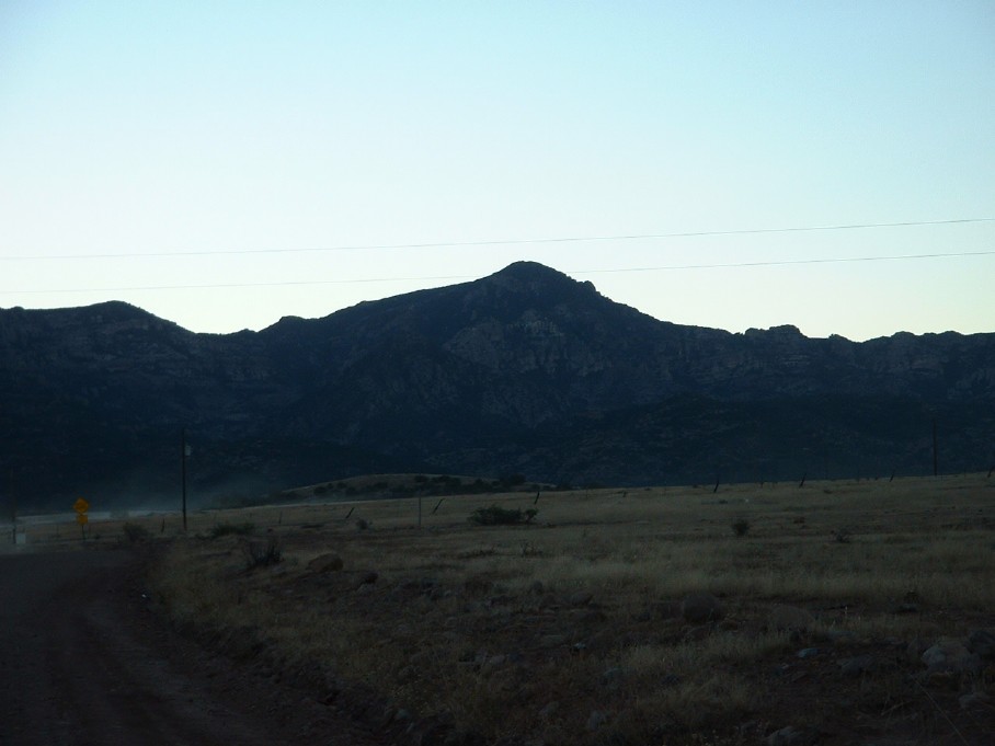
Return the same way you came to get back to your car. By the time you get back, it will undoubtedly be when the sun is setting, and you will have great shots of the Galiuros and the Pinalenos/Mt. Graham. Check out the Official Route and Triplogs. Note This is a moderately difficult hike. Leave No Trace and +Add a Triplog after your hike to support this local community. | ||||||||||||||||||||||||||||||||||||||||||||||||||||||||||||||||||||||||||||||||||||||||||||||||||||||||||||||||||||||||||||||||||||||||||||||||||||||||||||||||||||||||||||||||||||||||||||||||||||


