 Route Editor

| Guide | ♦ | 110 Triplogs | 1 Topic |
details | drive | permit | forecast | 🔥 route |
stats |
photos | triplogs | topic | location |
| 346 | 110 | 1 |
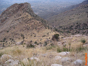
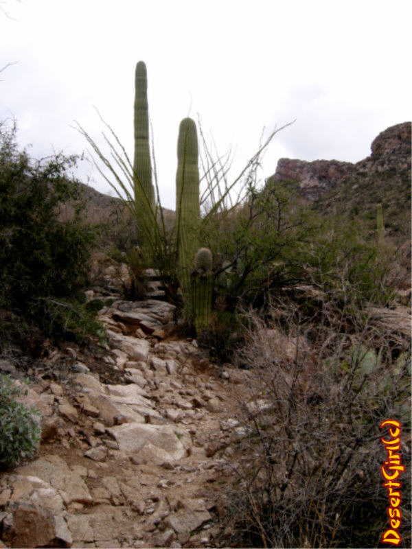
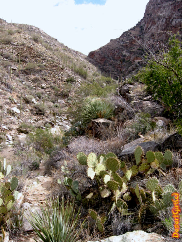
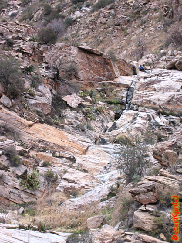
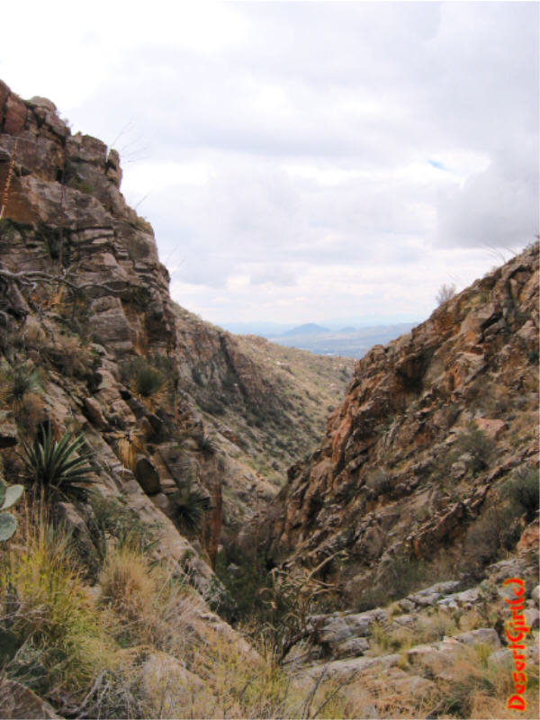
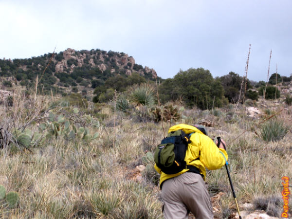
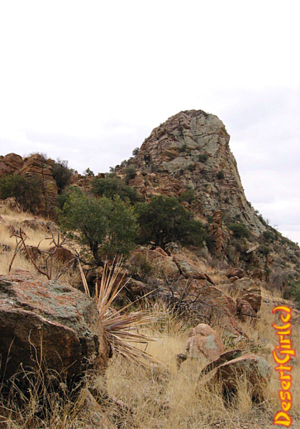
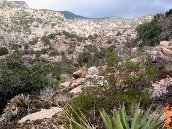
Tough trail with views of Tuscon by desertgirl  A challenging trail in the Catalinas (Pusch Ridge Wilderness) with great views, easy access, and a hard workout. A challenging trail in the Catalinas (Pusch Ridge Wilderness) with great views, easy access, and a hard workout.From the parking lot at the end of Alvernon Way, the trailhead is at the end of the road. You hike up and around a few developments to reach the trailhead for Finger Rock Trail #42 and the Pontatoc Trail #410. Head right following Pontatoc Trail and you will cross a few small drainages with a gradual climb through typical low range Catalinas... Saguaros, Palo Verde, and other desert vegetation are typical of the lower elevations. Pontatoc Ridge towers above you, extending in a northeasterly direction. As you hike in, you are treated to great views of Finger Rock and the other rock formations of the Prominent Point. On the day I ventured forth, it was a cloudy day with quite a bit of low-hanging clouds and the whole area of Prominent Point was playing hide & seek... it was magical! You head onto the Pontatoc Canyon Ridge & climb up to the signed intersection of the Pontatoc Trail and the Garnet Trail at 0.8 miles. Bearing right will take you to the Garnet Trail# 411. Keep left and follow the Pontatoc Canyon Trail as it heads back down towards the streambed. You have just finished the 1st of the many ups & downs of the Pontatoc Trail!
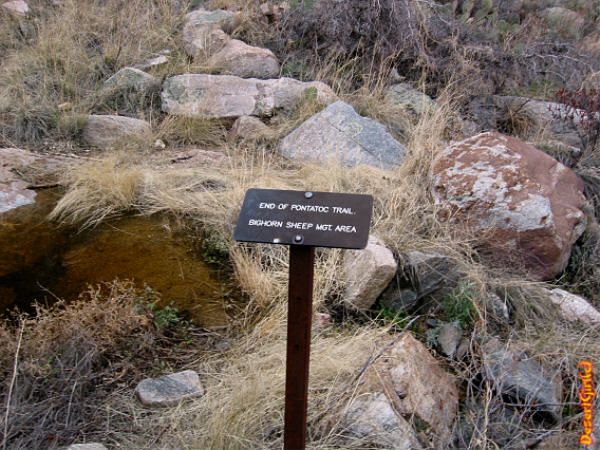
Note: Special hiking restrictions are in effect for the Desert Bighorn Sheep Area. No dogs and maximum group size of 15 people during the day, and 6 at night.
Check out the Official Route and Triplogs. Note This is a moderately difficult hike. Leave No Trace and +Add a Triplog after your hike to support this local community. | |||||||||||||||||||||||||||||||||||||||||||||||||||||||||||||||||||||||||||||||||||||||||||||||||||||||||||||||||||||||||||||||||||||||||||||||||||||||||||||||||||||||||||||||||||||||||||||||||||||||||||||||||||||||||||||


