 Route Editor

| Guide | ♦ | 4 Triplogs | 0 Topics |
details | drive | permit | forecast | 🔥 route |
stats |
photos | triplogs | topics | location |
| 19 | 4 | 0 |
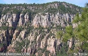
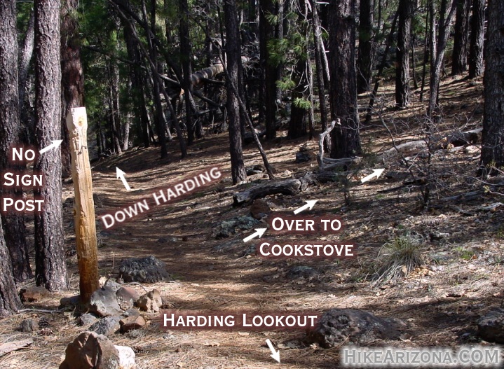
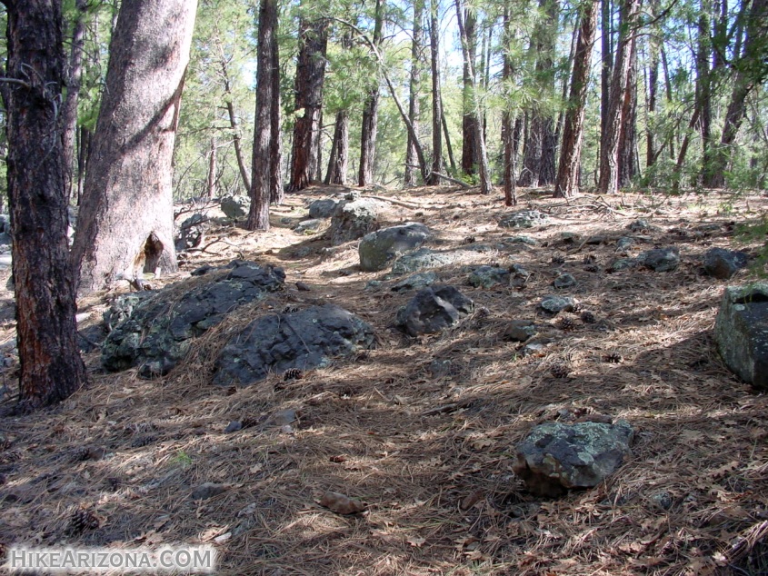
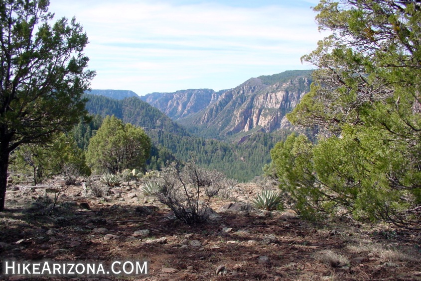
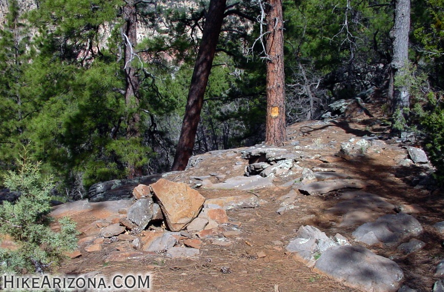
Rim Stroll by joebartels   This nameless trail gets plenty of use. The trail serves as a connector between the Harding & Cookstove trails on the rim. These two trails ascend the rim along 89A north of Sedona from popular campgrounds in Oak Creek Canyon. I decided to call this the HC Rim Trail. I prefer to go in just that direction, from Harding to Cookstove. This nameless trail gets plenty of use. The trail serves as a connector between the Harding & Cookstove trails on the rim. These two trails ascend the rim along 89A north of Sedona from popular campgrounds in Oak Creek Canyon. I decided to call this the HC Rim Trail. I prefer to go in just that direction, from Harding to Cookstove.Back in the late 1800's and early 1900's settlers ventured down from Flagstaff. They'd make it to the rim on the east side of Oak Creek Canyon in several areas. Many of these settlers blazed trails down the steep slopes. Then they'd homestead in Oak Creek Canyon below. The settlers then used the trails to get back to Flagstaff for supplies in addition to selling their goods. Today hikers and possibly hunters use the trails for recreation.
If you're on this trail you're likely doing a loop. I prefer the Harding to Cookstove direction. Going down the Cookstove seems more enjoyable than going up. To complete the loop you'll need to walk a mile alongside 89A. I prefer the south walk as there is more room on the west side of 89A. The total distance for this loop is about 3.8 miles and takes roughly two hours. An even better option in my opinion is to start at either end. Go up to the rim, over, down, then forget the highway and backtrack up the rim and down again. From either trailhead (Harding or Cookstove) this is about a 5.5-mile hike and takes around three hours to complete. Check out the Official Route and Triplogs. Leave No Trace and +Add a Triplog after your hike to support this local community. One-Way Notice This hike is listed as One-Way. When hiking several trails on a single "hike", log it with a generic name that describes the hike. Then link the trails traveled, check out the example. | |||||||||||||||||||||||||||||||||||||||||||||||||||||||||||||||||||||||||||||||||||||||||||||||||||


