 Route Editor

| Guide | ♦ | 161 Triplogs | 7 Topics |
details | drive | no permit | forecast | route |
stats |
photos | triplogs | topics | location |
| 1.5k | 161 | 7 |
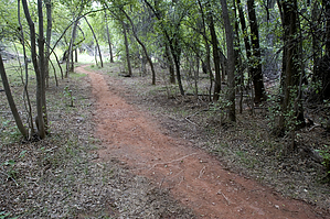
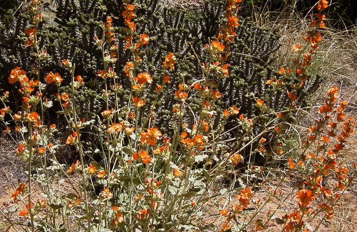
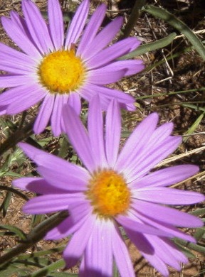
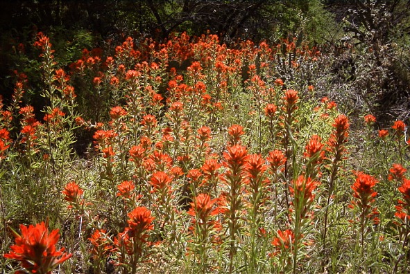
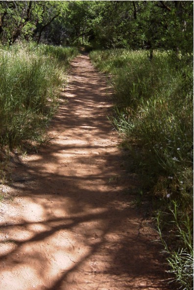
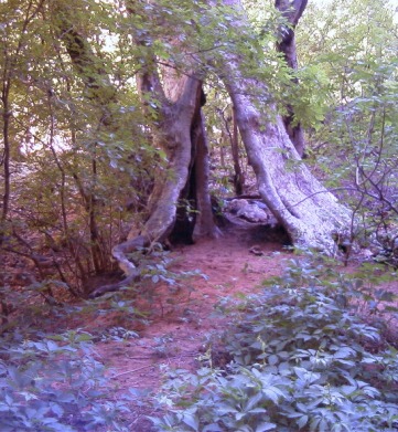
Exquisite by joebartels   Some trails take you to a beautiful spot hidden from society. Few offer never ending beauty throughout. Parsons not only packs a punch the entire trail, it continuously changes. Thick groves of corel bean and globemallow among other wildflowers line the trail. Some trails take you to a beautiful spot hidden from society. Few offer never ending beauty throughout. Parsons not only packs a punch the entire trail, it continuously changes. Thick groves of corel bean and globemallow among other wildflowers line the trail.From the trailhead, Sycamore Canyon is inviting you to visit. The trail immediately heads down the canyon wall 180 feet to the creek bottom. Within a few steps pass through a gate and close it behind you. Little elevation change is encountered after the initial drop. A junction is encountered and you will be taking the right fork to follow up the canyon. The left option crosses the creek and heads up for a long venture over Packard Mesa to Henderson Flat. The trail starts sandy just after the junction.
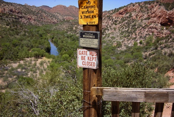
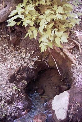
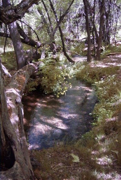
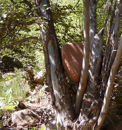
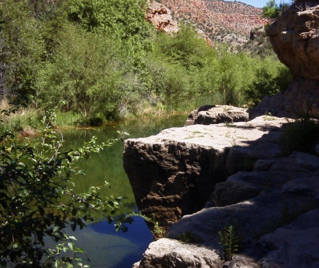
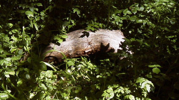
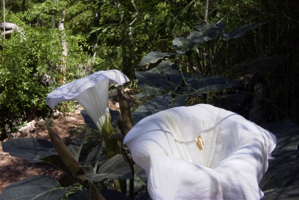
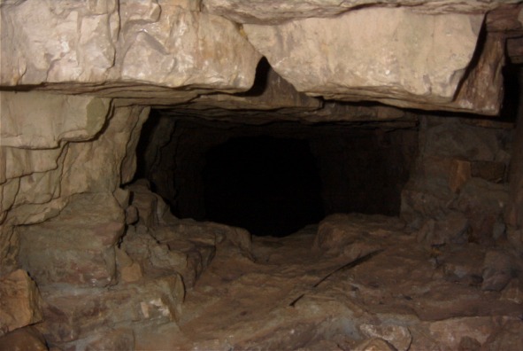
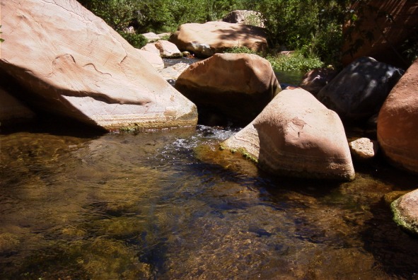
Ledges with four foot deep crystal clear water line the path in sections. I saw several small fish. According to the trailhead map, you cross the creek five times. I didn't keep count but it seems right. Each crossing has challenges but none too tough. It's not hard to stay dry if that's your thing. I sloshed through the shallow water to cool off. Thick growth covers the running water. Small spiders are abundant on the rocks and logs. Huge Sacred Datura wildflowers are amazing. Just stay away as they are poisonous. A seep crosses the trail. Vegetation is lush including poison ivy! Arizona Grape is found throughout the hike. Several small caves line the canyon walls. A hollowed-out tree almost big enough to walk through is just off the trail. On the last or second to last (I forget) creek crossing, huge red boulders dot the creek. When the going gets tough the creek ends and it's time to turn around. I couldn't find Parsons Spring. Then again I didn't explore much as 7.4 flat miles isn't my best stride. It was very muddy and the water was cloudy near the point I turned around. Camping No camping for 3.7 miles, end of the water.
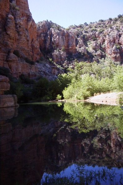
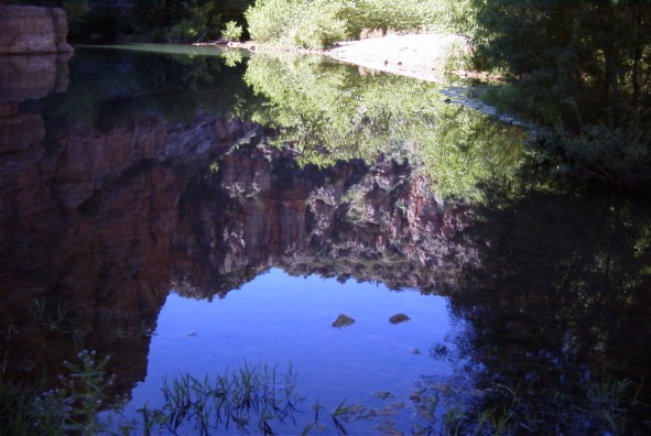
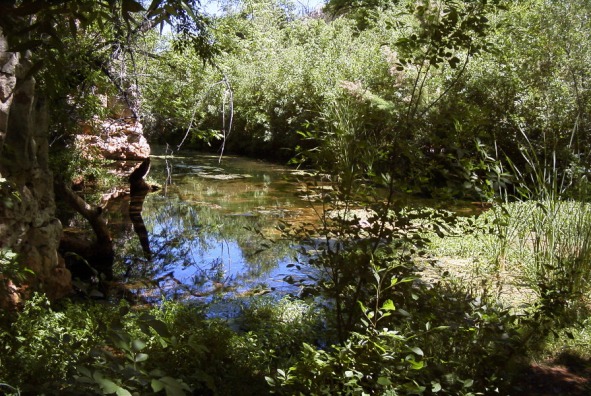
Coconino FS Details The hike up the Parsons Trail is a pleasant stroll along a cool, clear desert stream set in a magnificent red rock canyon. Sycamore Canyon is a place sufficiently unique to have been one of the first areas protected as wilderness in Arizona. The trail leads through the lower reaches of this wilderness through a riparian area rich in plant and animal life. Colorful cliffs that are a unique mix of dark columnar basalt, red sandstone, and buff colored limestone enclose the lush green of the oasis. The trail leads 4 miles to a large pool called Parson Springs where this considerable stream springs to the surface from the underground course it has followed through the majority of the canyon. Up canyon from this point surface flow only occurs during snowmelt and after summer monsoons. The limestone layer just above the streambed is riven with small caves. Flat ledges of red sandstone extend to the water's edge. Songbirds flit through the tall cottonwoods and thick mesquite bosques. At a number of points additional springs flow from the canyon walls through gardens of columbine and watercress. All these features combine to make this trail one of the most popular, and one of the most crowded, on the forest. If you visit this truly exceptional place please exercise extra discretion in making sure the impact you create is as slight as possible.
Check out the Official Route and Triplogs. Leave No Trace and +Add a Triplog after your hike to support this local community. | ||||||||||||||||||||||||||||||||||||||||||||||||||||||||||||||||||||||||||||||||||||||||||||||||||||||||||||||||||||||||||||||||||||||||||||||||||||||||||||||||||||||||||||||||||||||||||||||||||||||||||||||||||||


