 Route Editor

| Peter_Medal |
|
|
| ||||||||||||||||||||||||||||||||


Profile | Guides | Routes | Trips | Photos | Areas | Dogs | Cmnts | Rated | Water | Wish |
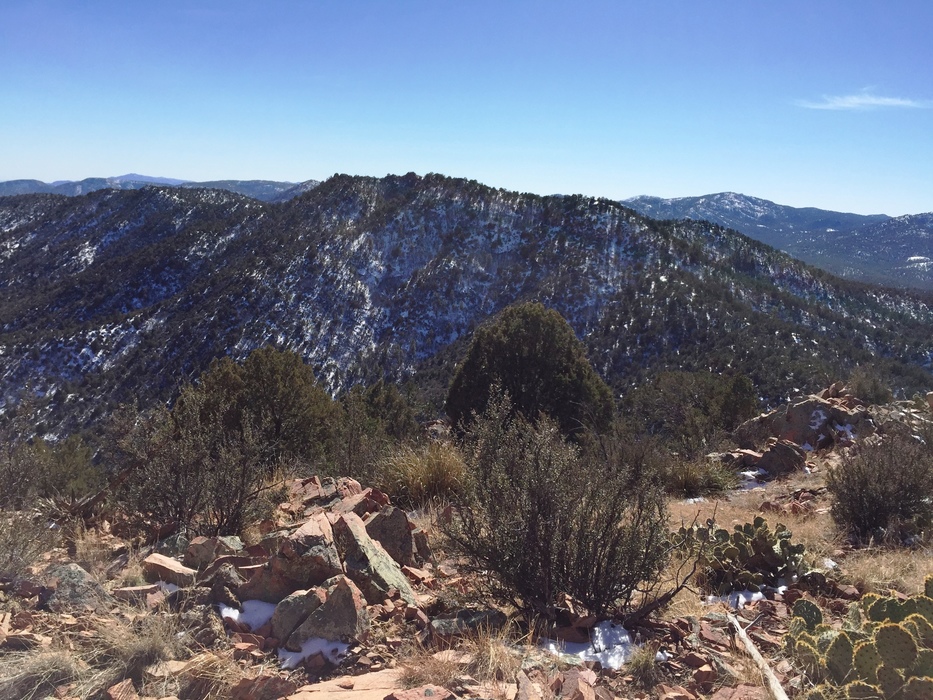


 | 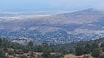 | 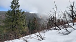 |  | 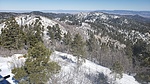 |
November 2017 There is FREE parking on the parking lot off of Willow Lake Road (not in the park) or on Willow Parkway. To park at the park its $3 for an all day pass but free on Wednesdays. Noted for future trail runs.
The portion of trail/route between

