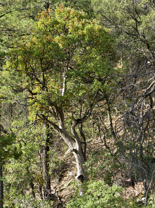
South of Tucson and down into Madera Canyon. The drive in is eye candy for any hiker. The trailhead is upslope from the restrooms. It starts off easy and wide going up. This is an old road that used to be lined with picnic tables before the parking was upgraded to accommodate the crowds. Soon you come to a junction with the Vault Mine Trail, proceed left on Old Baldy. Vegetation is loaded with various oaks and incredible mandrones throughout the hike. The area is popular with bird enthusiasts. Be on the lookout for the elusive Elegant Trogon!
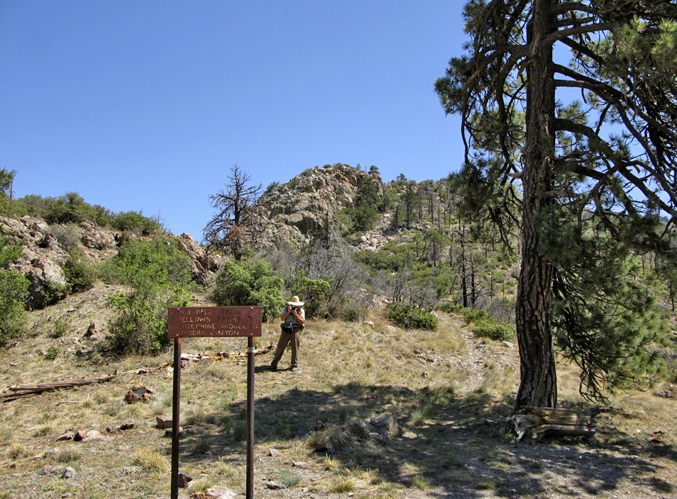
Almost 1,700 feet up, Josephine Saddle is reached at 2.3 miles / 7,100ft. This junction intercepts six paths providing reason to return. It's another 1.8 miles around the northern slopes to Baldy Saddle.
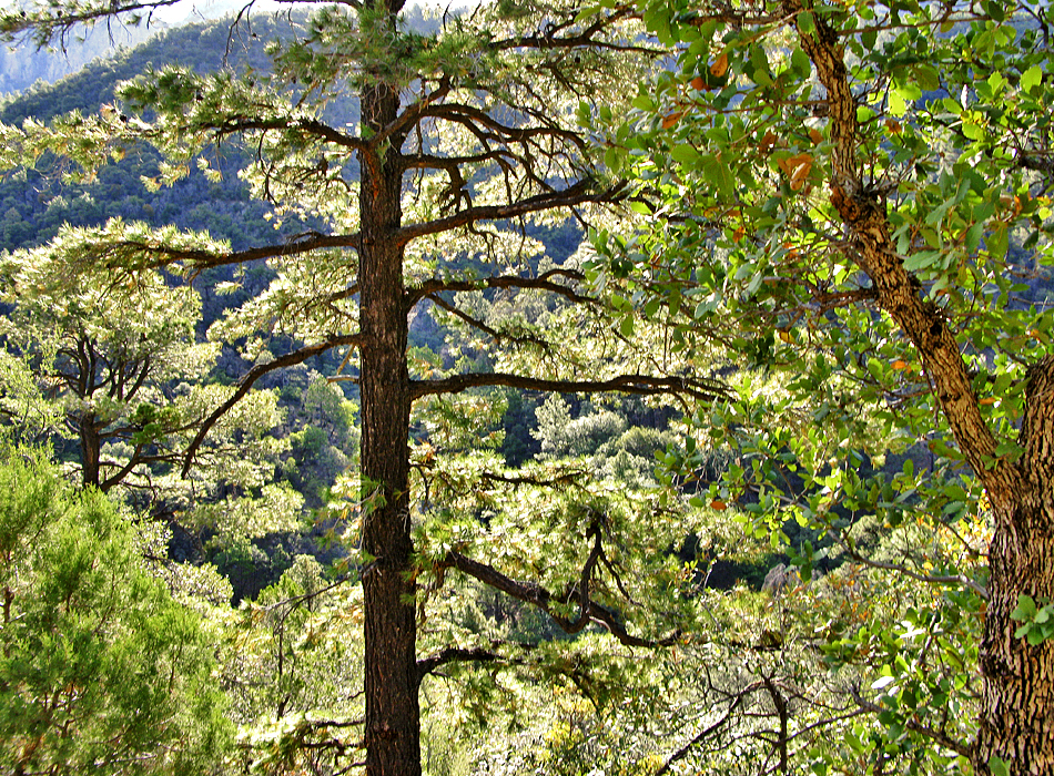
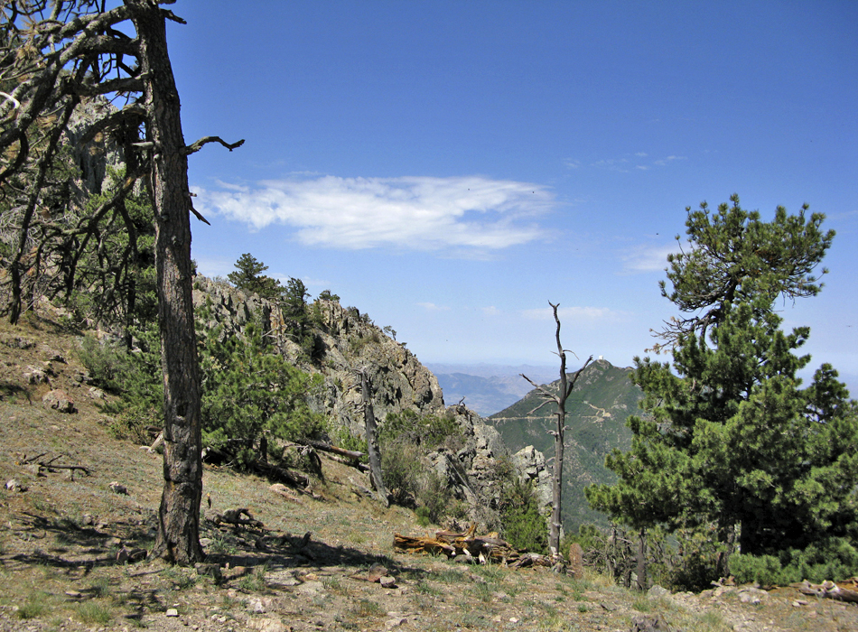
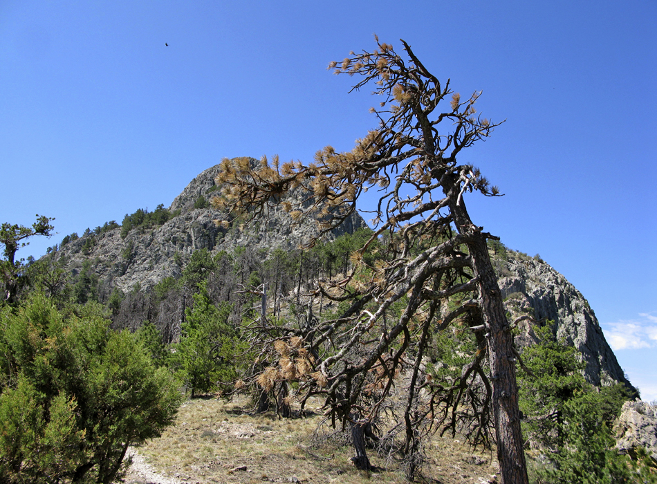
The Super Trail and Old Baldy continue together for less than a quarter-mile. Old Baldy continues to the left. Here the vegetation starts to turn. Beautiful trophy Chiricahua Pines fill the slope. Their limbs reach out far and wide. Views to the northwest open up. The slope of the mountain is steep. You barely notice it slicing through a pine needle covered trail. This picturesque setting is what every boy scout dreams of on their maiden voyage. Undoubtedly rushed, they return decades later to savor the moment.
1.2mi from Josephine Saddle or 0.6mi before reaching Baldy Saddle you pass Bellow Springs. Soon followed by nearly a dozen tight switchbacks up to the saddle. Views on the saddle open up. From here it's 0.85mi on the Crest Trail to the peak.
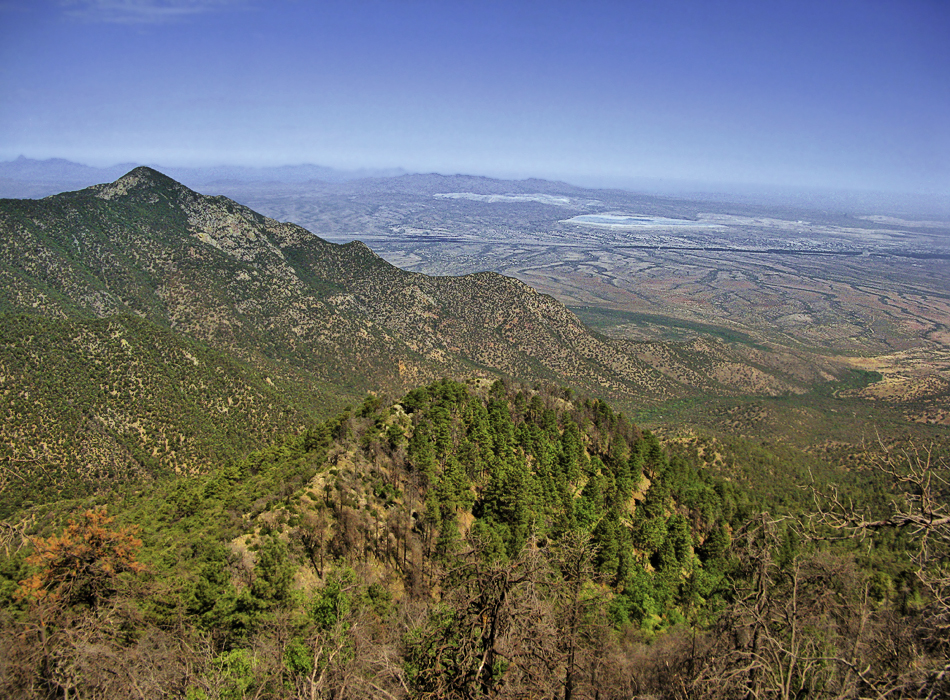
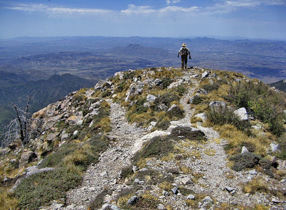
Wide views on Mount Wrightson (noted as "Baldy 2" on topo) reveal mountain ranges few know exist. To the North and Northeast, the Catalinas and Rincons dominate. Baboquivari and it's towering massif is easily spotted to the west. Only 25 miles away, Mexico dominates the southern views.
Note
Data is derived from a combination of GPS and topo map routing. The Coronado FS data is known to be erroneous.
Choices
As seen in the Wrightson Wilderness map, several trails ascend Mt Wrightson. Technically the shortest ascent to the summit is via the Garden Canyon Trail #143. However, with its four-wheel-drive access, the Madera Canyon options are more appealing coming from Tucson. The Super Trail #134 has more switchbacks providing a less strenuous ascent. That might be a better choice if you're hauling a backpack or looking to ease the knees on your descent. Combing the two trails is a popular choice.
Revised 2008
Original summary posted on 2000-06-21
WARNING! Hiking and outdoor related sports can be dangerous. Be responsible and prepare for the trip. Study the area you are entering and plan accordingly. Dress for the current and unexpected weather changes. Take plenty of water. Never go alone. Make an itinerary with your plan(s), route(s), destination(s) and expected return time. Give your itinerary to trusted family and/or friends.
Four specific day-use areas require a Coronado Recreational Pass or a National Pass/America the Beautiful Pass.
1) Sabino Canyon - located on the Santa Catalina Ranger District (520)749-8700
2) Madera Canyon - located on the Nogales Ranger District (520)281-2296
3) Cave Creek - located on the Douglas Ranger District (520)364-3468
4) Mt. Lemmon at 11 day-use sites.
2025Catalina State Park
Per vehicle (1 person): $10.00
Per vehicle (2-4 people): $20.00
Individual/bicycle: $5.00
Coronado Forest MVUMs are rarely necessary to review unless mentioned in the description or directions Coronado Motor Vehicle Use Maps (MVUMs)
Directions
Road
Paved - Car Okay
To Madera Canyon Trailhead From Tucson: I-19 south to exit 63 Continental. At the end of the exit take a left and follow brown signs to Madera Canyon. You'll be taking White House Canyon Road 13.2 miles to Madera Canyon.
From PHX (I-10 & AZ-51) 152 mi - about 2 hours 31 mins From TUC (Jct 1-10 & Grant) 42.3 mi - about 55 mins From FLG (Jct I-17 & I-40) 295 mi - about 4 hours 37 mins
 Route Editor


 South of Tucson and down into Madera Canyon. The drive in is eye candy for any hiker. The trailhead is upslope from the restrooms. It starts off easy and wide going up. This is an old road that used to be lined with picnic tables before the parking was upgraded to accommodate the crowds. Soon you come to a junction with the Vault Mine Trail, proceed left on Old Baldy. Vegetation is loaded with various oaks and incredible mandrones throughout the hike. The area is popular with bird enthusiasts. Be on the lookout for the elusive Elegant Trogon!


