 Route Editor

| Guide | ♦ | 41 Triplogs | 0 Topics |
details | drive | permit | forecast | 🔥 route |
stats |
photos | triplogs | topics | location |
| 564 | 41 | 0 |
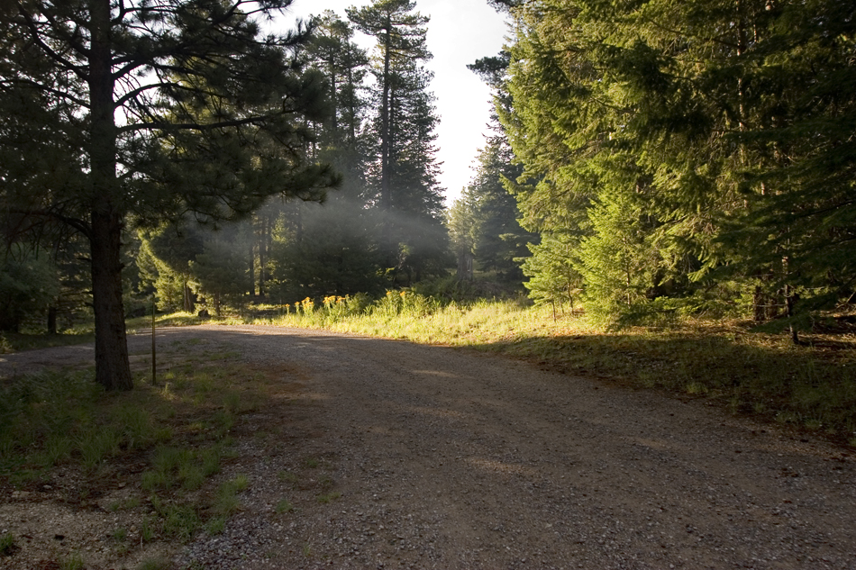
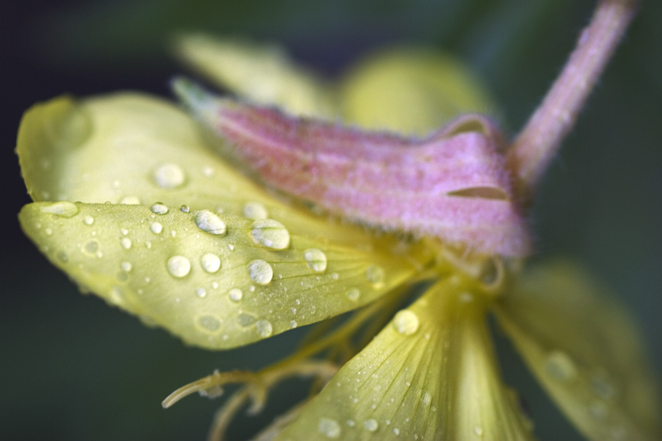
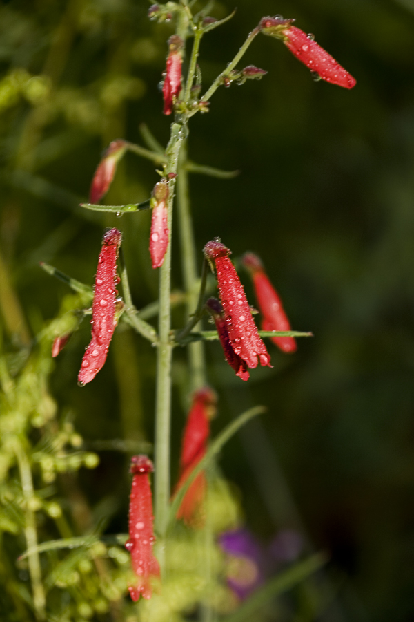
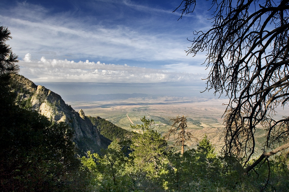
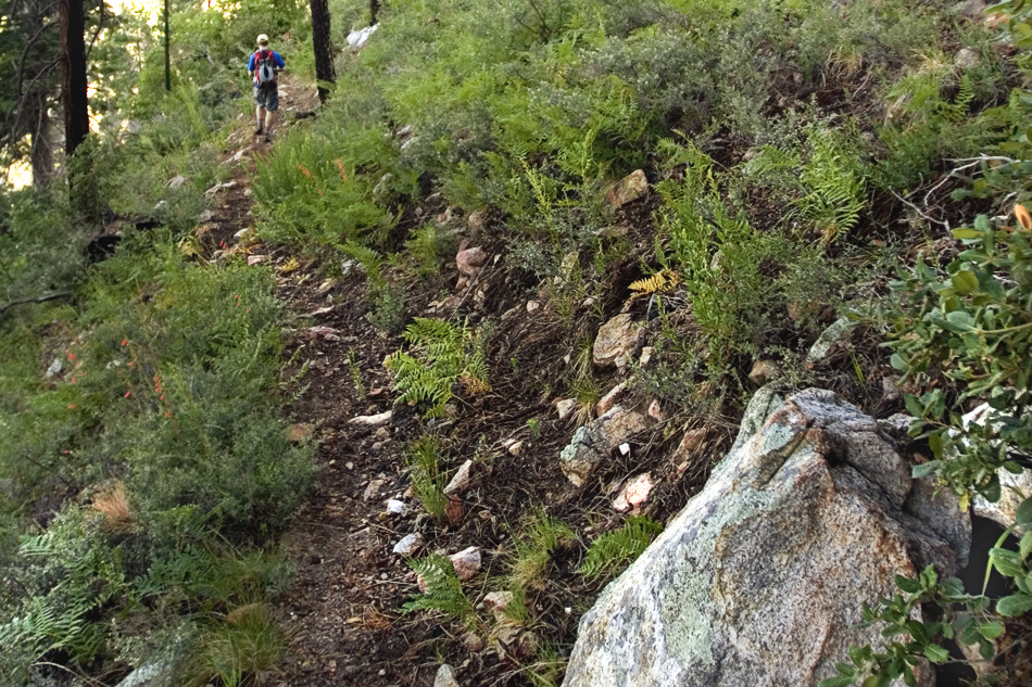
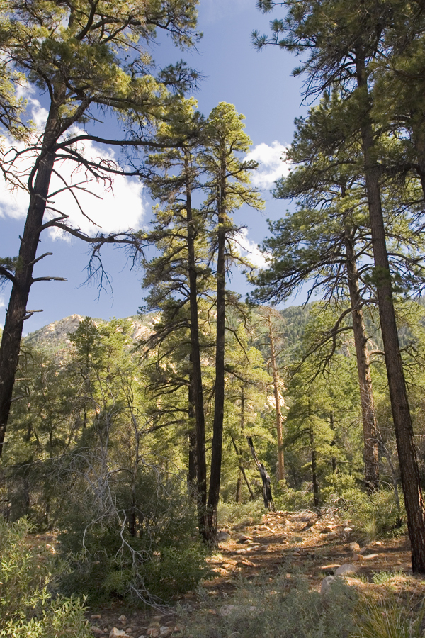
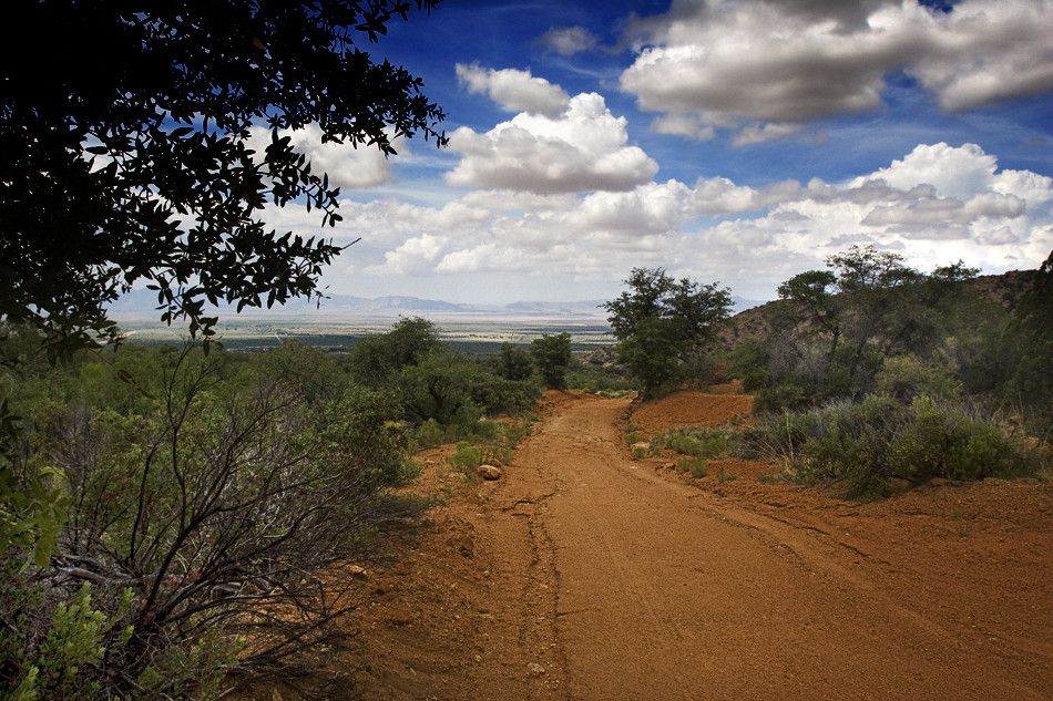
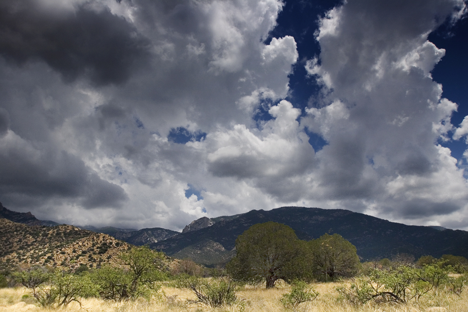
Magic of life by joebartels  Stats StatsPage stats are from the lower trailhead. Overview Shuttle hike from the upper Pinaleno Mountains down to the Fort Grant area. Fort Grant lies on the upper end of the Sulphur Springs Valley that runs all the way down to the Arizona border. Aravaipa Valley starts and runs northwest. Hike It truly was the best of times. This was a downhill tiptoe through one of Pinaleno's finest. After setting up a shuttle we started at the top. Nothing beats shivering in July... in southern Arizona! We were greeted by the morning sun filtering through campfire smoke down on a field of wildflowers.
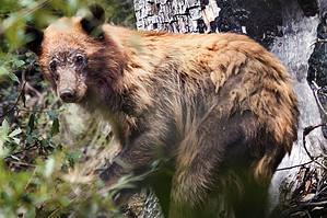
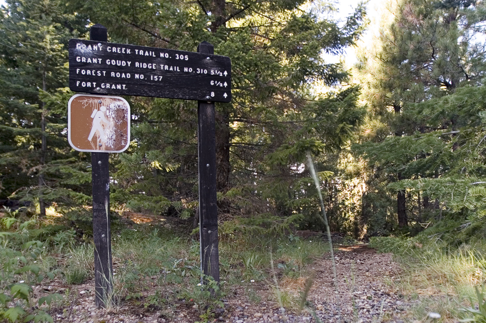
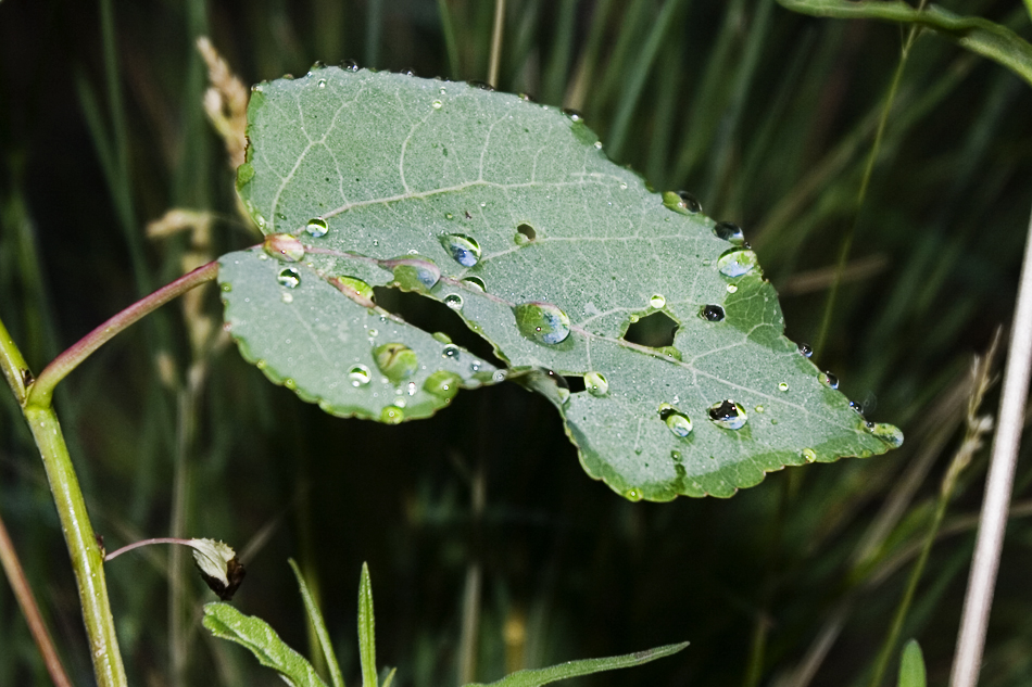
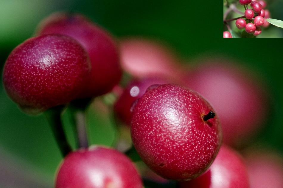
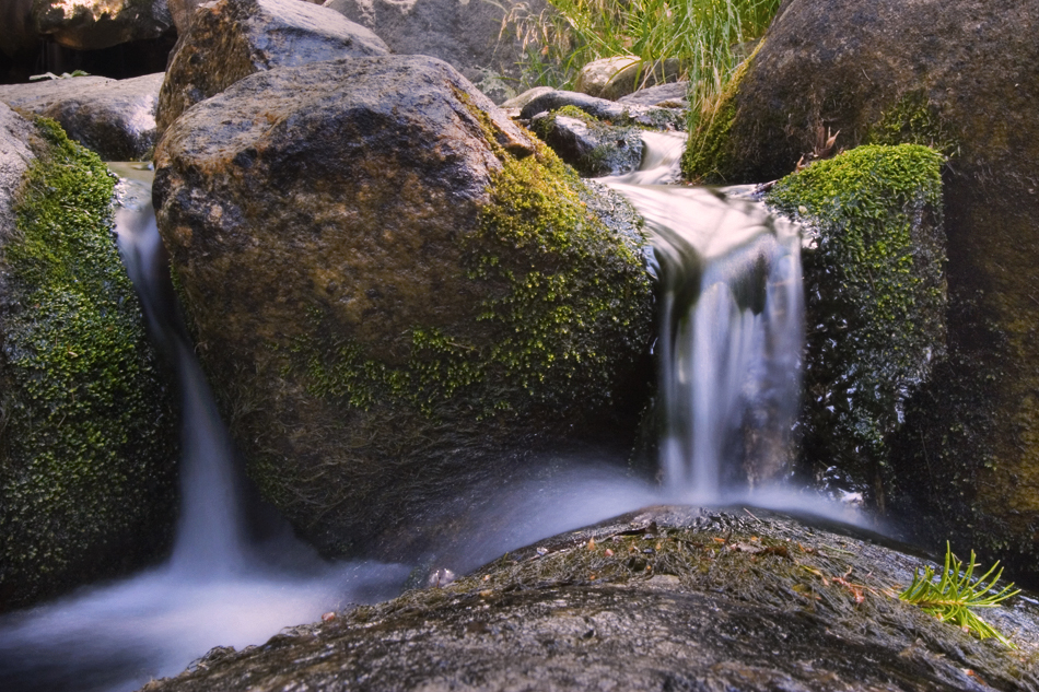
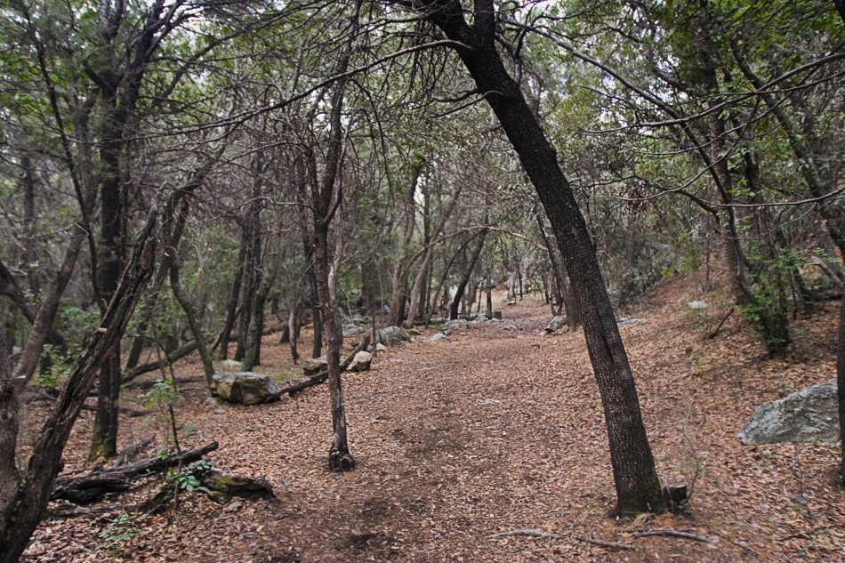
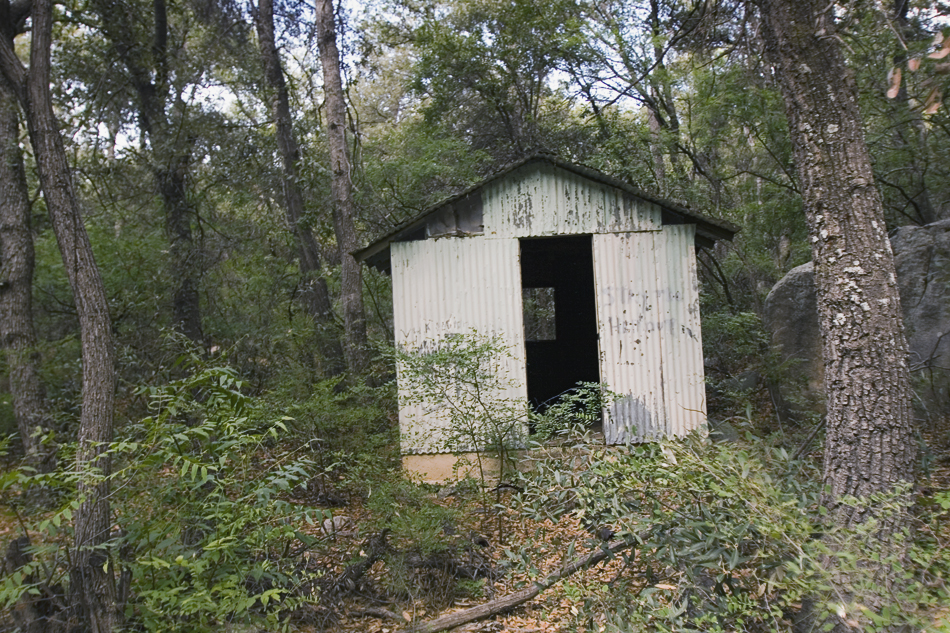
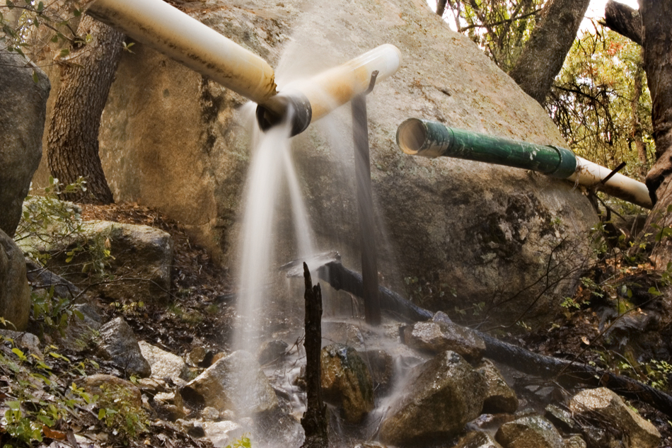
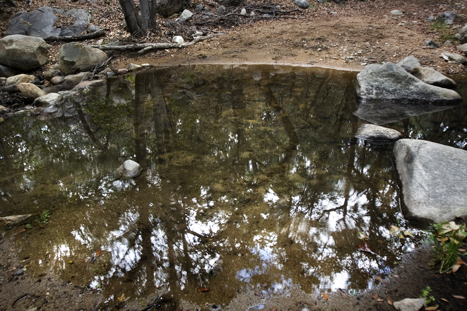
Barely surviving the morning dew laden wildflower fields we came to the overlook and stood in awe. Here we looked out over the valley below. The view through the pines featured a nice outcrop of the ridge descending Grant Hill in the distance. Continuing on and down at this point we expected the hike to degrade quickly into scattered chaparral. Not only did that not happen we were treated to lush environs. The quick but not-to-steep 2,000 foot drop landed us to the glurpping of a nearby creek. Post Creek had a good flow with it's upper tributaries Moonshine and Soldier likely lending in a hand. We went off trail shortly to a small three-foot waterfall and enjoyed the surrounding beauty. All liqueured up on wilderness; we continued figuring we'd screwed around enough and needed to cover some ground to get Nick home to his family. Minutes later, I spotted a bear right off the trail. Of course, he was camera shy, and once again, I had to "go get the photo". He didn't move fast, but he coursed through poison ivy patches in dense dead branch scrub. Immune to urushiol oil I didn't hesitate and worked my way into a decent shot. Continuing on we entered yet another magnificent life zone. Oaks canopied the generous trail rivaling the Pinal Mountain displays. Not much further down, we came to an old settlement of sorts that Preston figures captured the water for Fort Grant. Negotiating one shallow pool it was a wide road hiking home. I believe this would be a good out-n-back hike from the bottom. Perhaps knocking off 1.5 miles. A looping option exists with Grand Goudy Ridge Trail #310. The shuttle option we took was fabulous, albeit time-consuming, setting up the shuttle. Coming from the valley, you might try one of the other options. This hike never let up and kept stopping us in our tracks. Summer storms crack off the Pinaleno's almost daily mid July to mid August. The cloud formations are awesome! That Evening An honest and funny guy passed away that evening... my dad. He enjoyed joking around with the site phrase "Hike Arizona it ROCKS!". He'd ask, "you're going to hike what?". It was my job to say "Arizona". He'd ask, "why". I'd proudly respond, "it ROCKS!" Check out the Official Route and Triplogs. Note This is a more difficult hike. It would be unwise to attempt this without prior experience hiking. Leave No Trace and +Add a Triplog after your hike to support this local community. One-Way Notice This hike is listed as One-Way. When hiking several trails on a single "hike", log it with a generic name that describes the hike. Then link the trails traveled, check out the example. | ||||||||||||||||||||||||||||||||||||||||||||||||||||||||||||||||||||||||||||||||||||||||||||||||||||||||||||||||||||||||||||||||||||||||||||||||||||||||||||||||||||||||||||||||||||||||||||||||||||||||


