

|
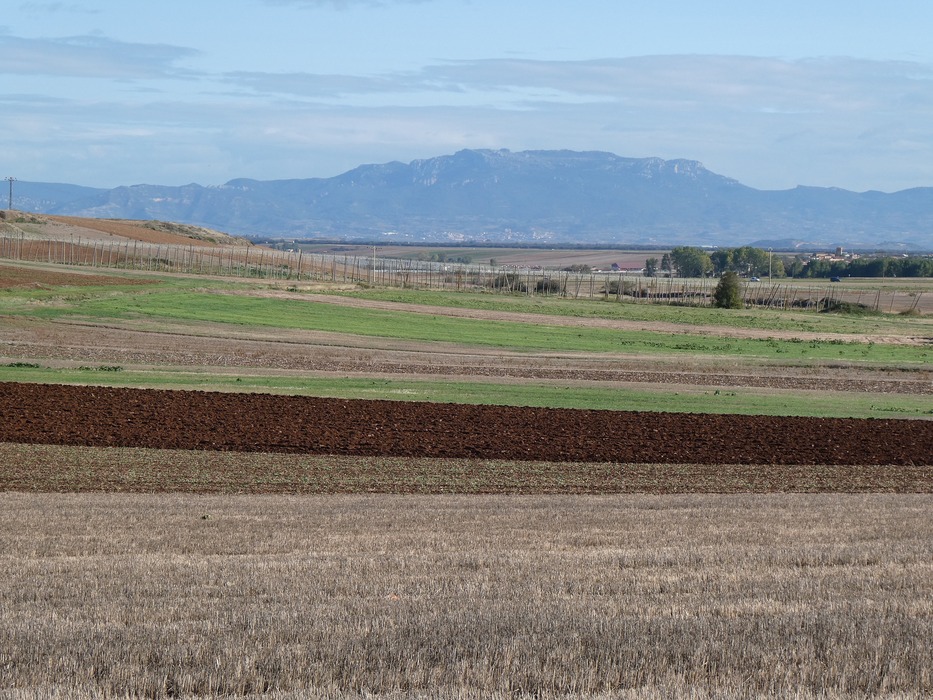
Looking west over the fields toward the Sierra de Cantabria. The soil looks perfect for farming.
From the west, the range rises from the Conchas de Haro where the River Ebro enters the region of La Rioja at 445 metres above sea level, and from there runs east forming the northern border of the Rioja Alavesa, separating the Rioja region from the rest of Álava. Its highest point is Mount Toloño at 1271 metres (4170 feet) above sea level in the municipality of Labastida.
It is noted for its steep rock faces on the southern side, and extensive forests in the north. The range is a landmark visible throughout the region.